Sometimes it’s hard to bust out a decent hike in the midst of a busy schedule, but the Plymouth Mountain Trail at Deer Creek canyon Park was an extremely accessible, […]
Sometimes it’s hard to bust out a decent hike in the midst of a busy schedule, but the Plymouth Mountain Trail at Deer Creek canyon Park was an extremely accessible, moderate hike for me. Clocking in at a base of 6.0 miles and 1,460 feet of elevation gain, this is a decent hike to kill two to four hours, feel the burn just a bit, and take in some amazing views
While Golden, Morrison, Boulder, and the surrounding areas offer plenty of great hikes, this is an especially strong option for people in South Denver, Highlands Ranch, Centennial, and Littleton. I was able to get to the trailhead parking lot in less than 30 minutes from a Denver address, and made it home in even less time without traffic.
While this hiking area could theoretically get crowded, I didn’t experience that at all on a weekday afternoon in August. There were maybe 10-15 cars in the parking lot (which could hold at least four times as many, so I guess it can get a bit more crowded) but I rarely saw another soul on the trail: particularly at the summit, where I saw absolutely no one. There are many adjoining trails in this Jefferson County Open Space system, so hikers have many options for how to spend their time here.
On this occasion, I started on the Plymouth Creek Trail, connecting to a counter-clocwkise loop around the Plymouth Mountain Summit, icluding taking an ou-and-back path to the summit as well as multiple viewpoints.
Plymouth Mountain Trail at Deer Creek Canyon Park, Colorado
Hiked On: August 4, 2023
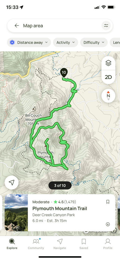
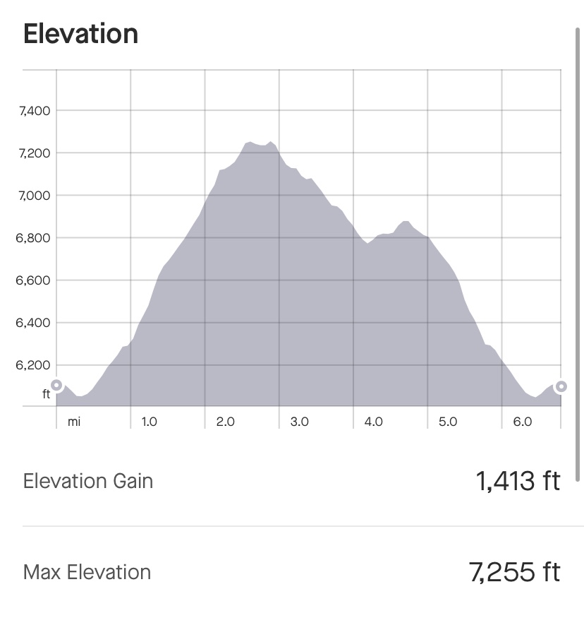
Distance: 6.84 miles
Elevation Gain: 1,413 feet
Time: 2 hours, 40 minutes, 55 seconds
The Plymouth Mountain Trail clocks in at 6.0 miles should take two to four hours to complete. I went a little over in mileage and stopped a couple times and was still done in under three hours
The trail presents a steady incline before a more gradual decline, when approached with a counter-clockwise loop around Plymouth Mountain’s summit.
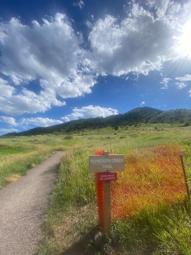
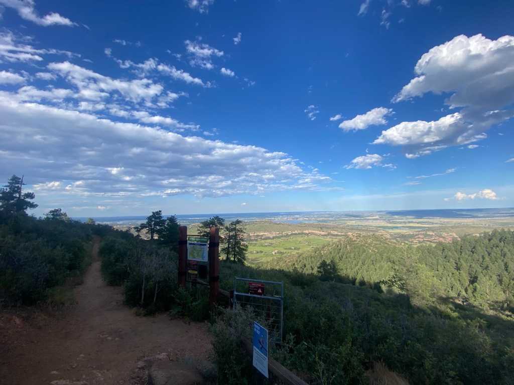
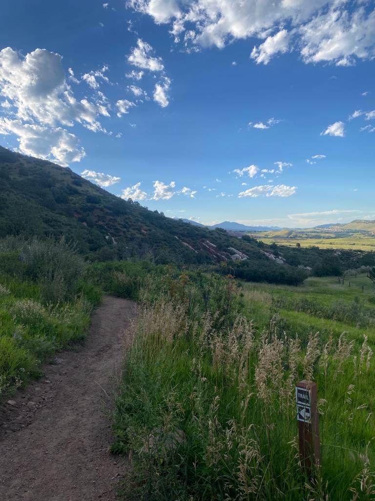
From the parking lot, the path to the summit of Plymouth Mountain starts with the Plymouth Creek Trail.
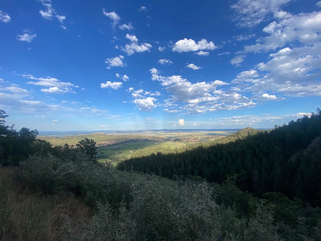
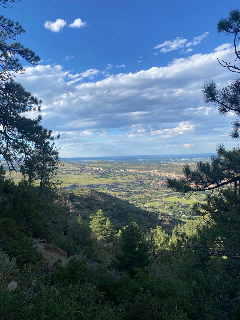
The start of this hike is open with views in every direction.
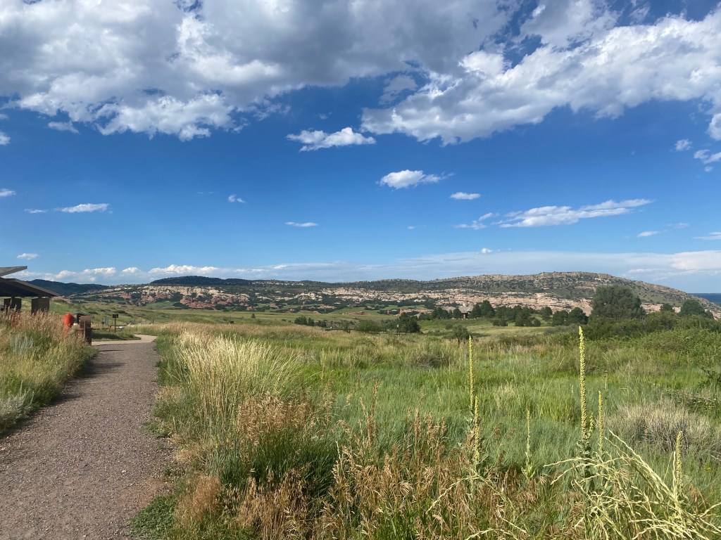
Looking back towards the parking lot.
And a look towards the rolling hills.
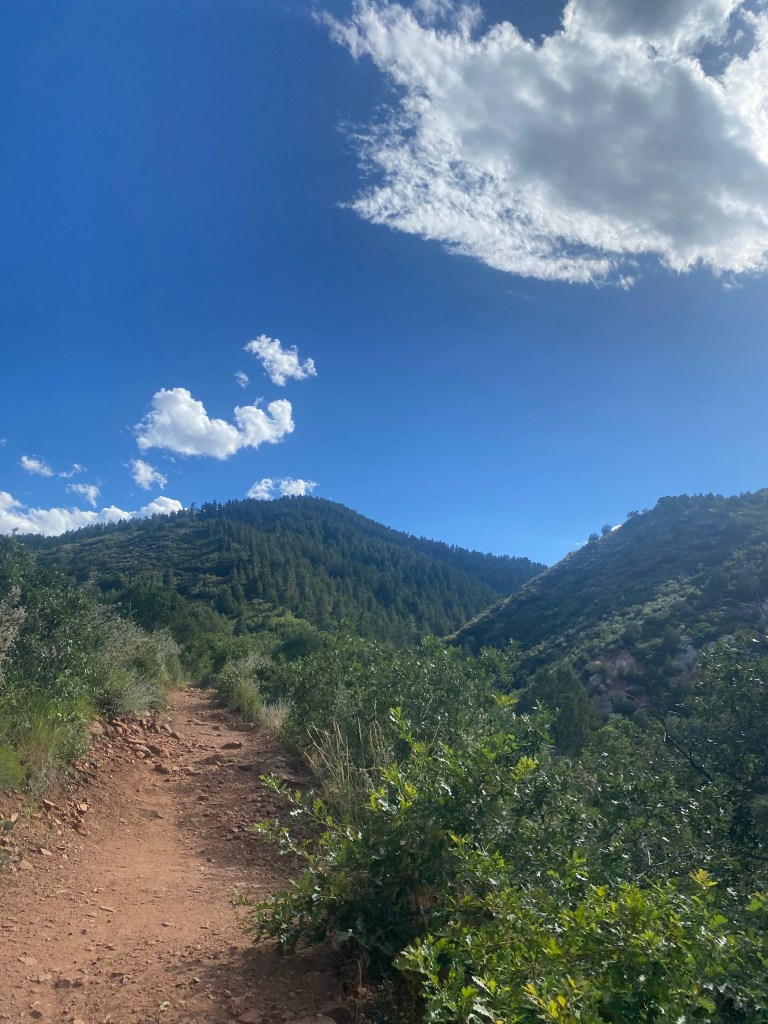
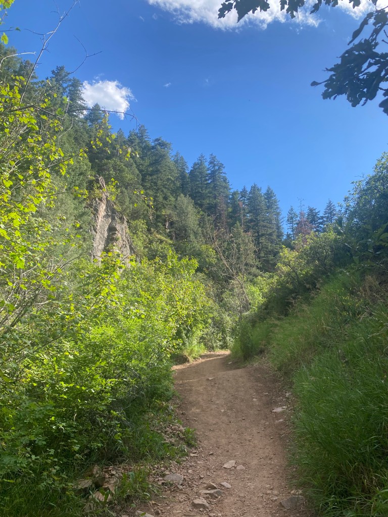
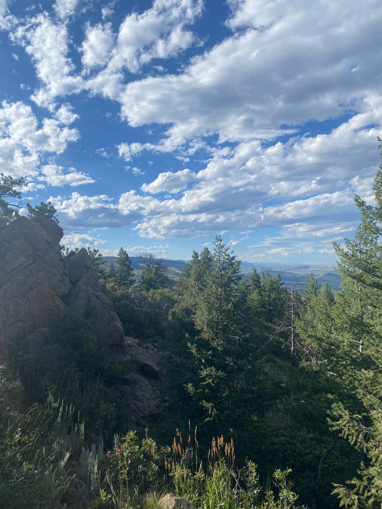
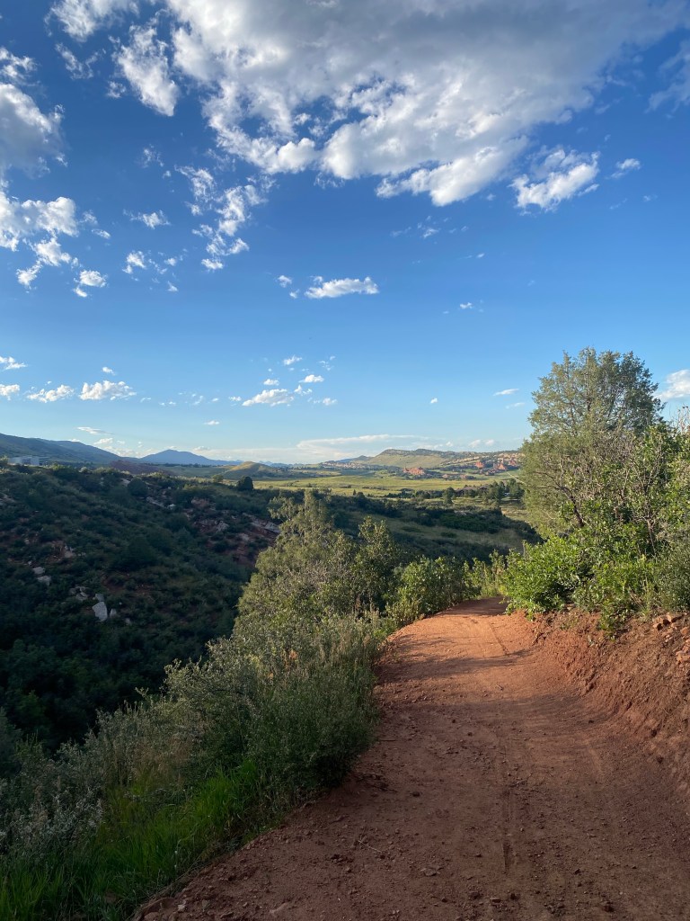
The red dirt path meets the lush green forest meets the cloud-sprinkled blue sky as the trail approaches the mountain.
Looking back towards the dramatic landscape.
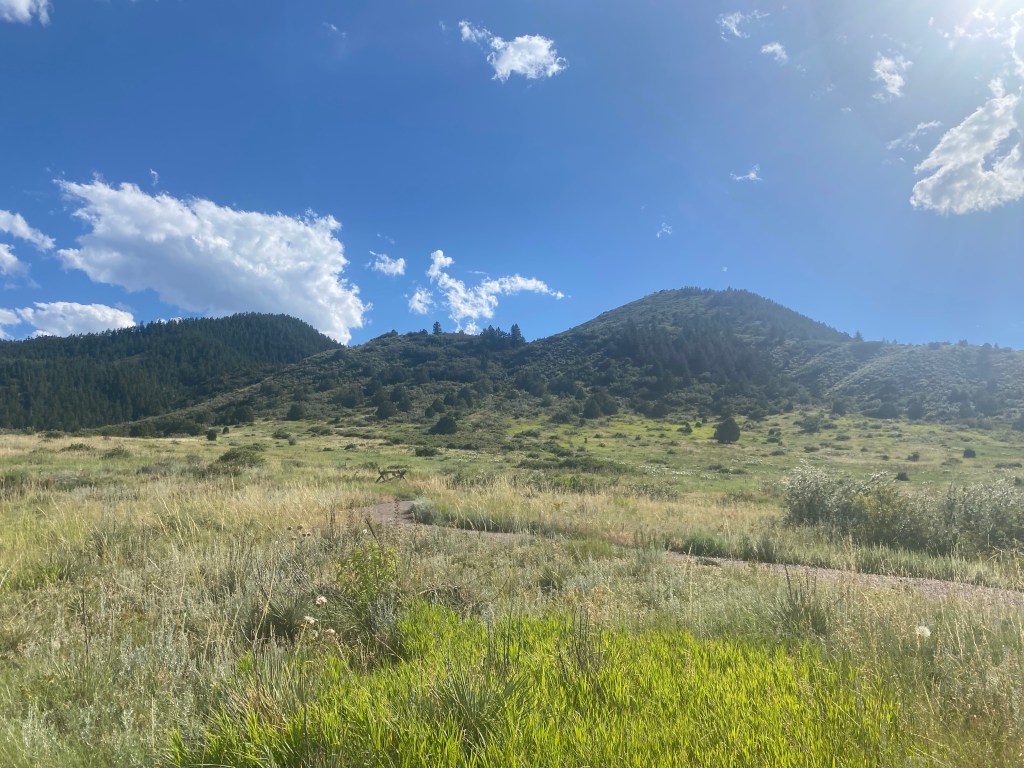
And forward once again, as the easy introduction to the hike quickly transitions to a more traditional uphill grudge.
Spoiled with this view early on.
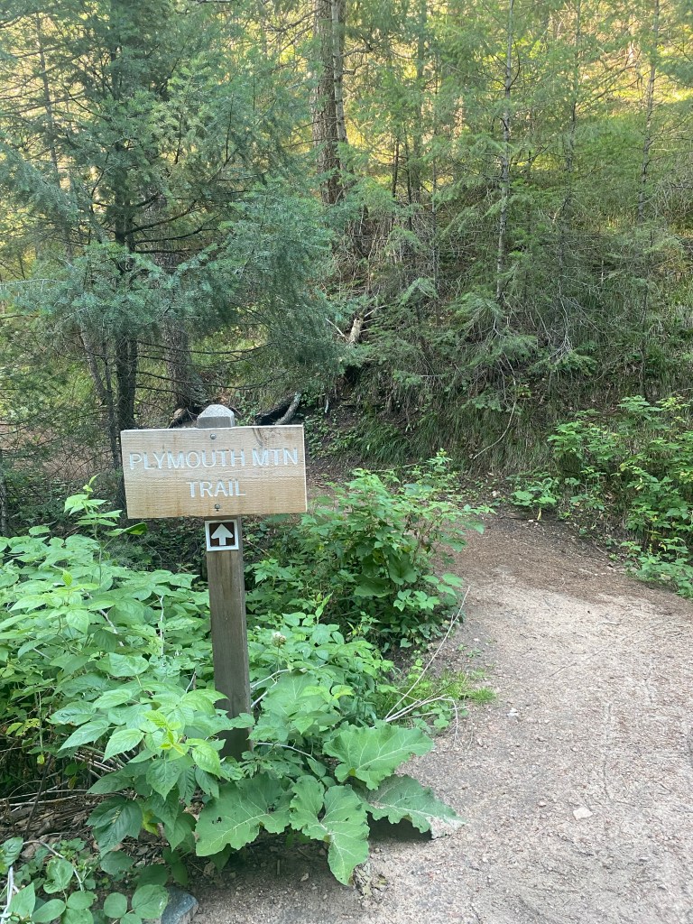
A view of the connecting Meadowlark Trail. I stayed on the Plymouth Creek Trail…
…eventually connecting to the Plymouth Mountain Trail.
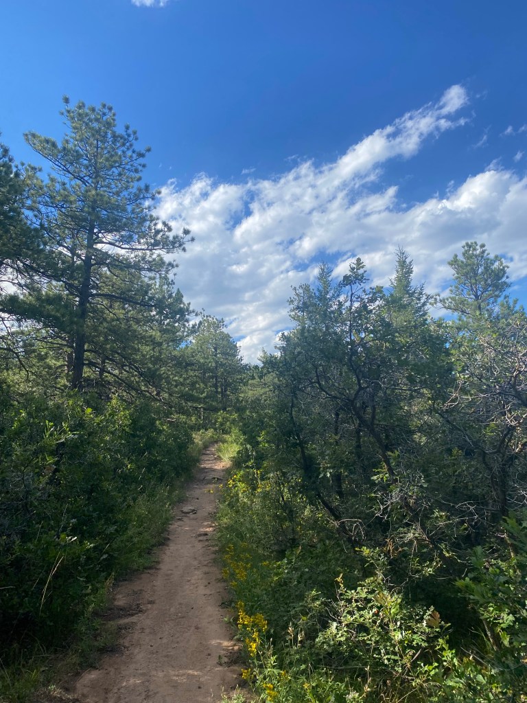
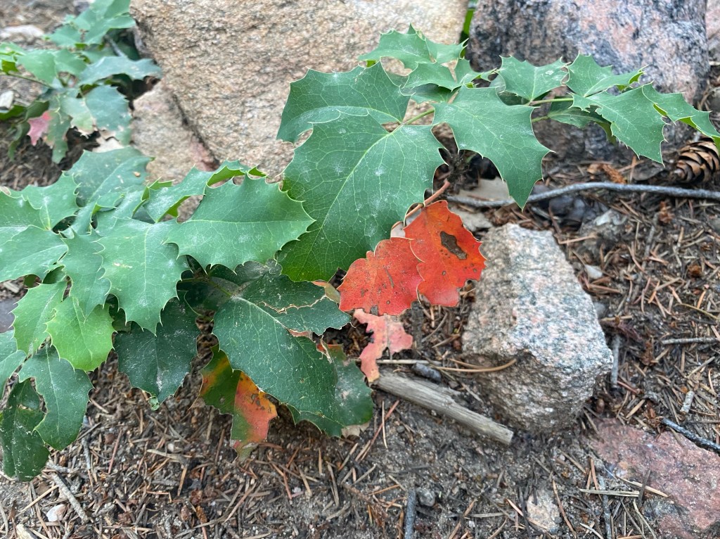
Much of the hike offered shade, which was needed on this warm early August day.
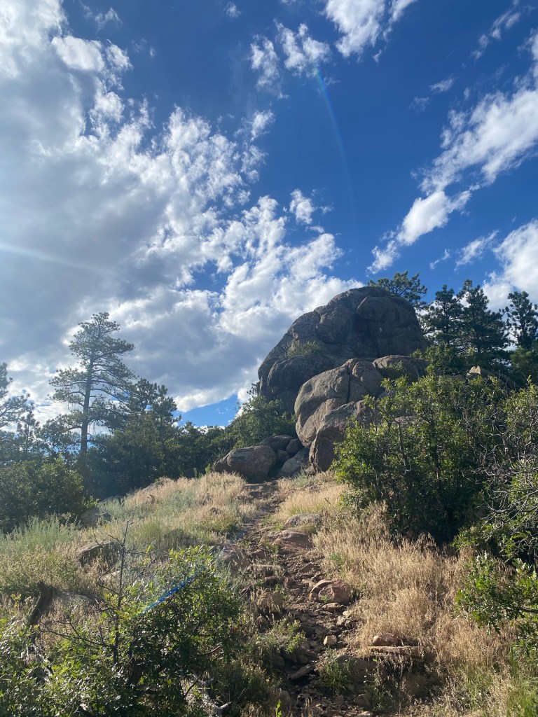
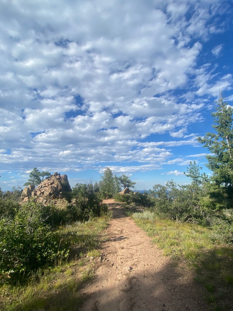
A triangle-fork in the road branches in to the trail that will ultimately lead to the summit, as well as a couple sweet viewpoints.
A mere peek/preview of what’s to come.
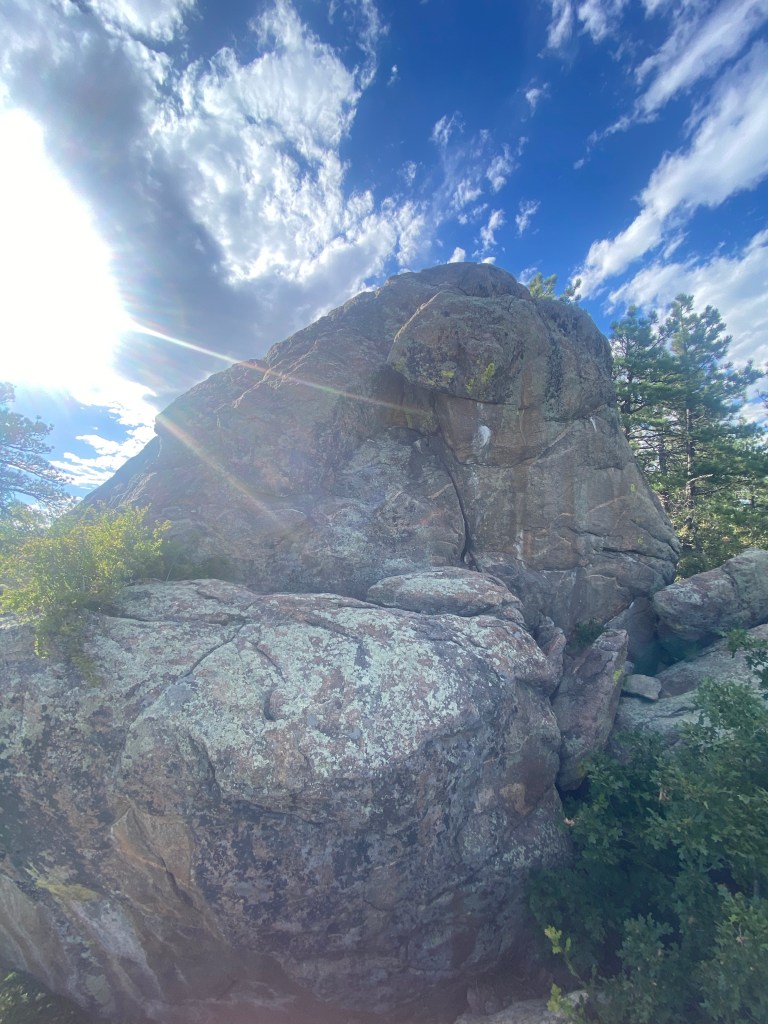
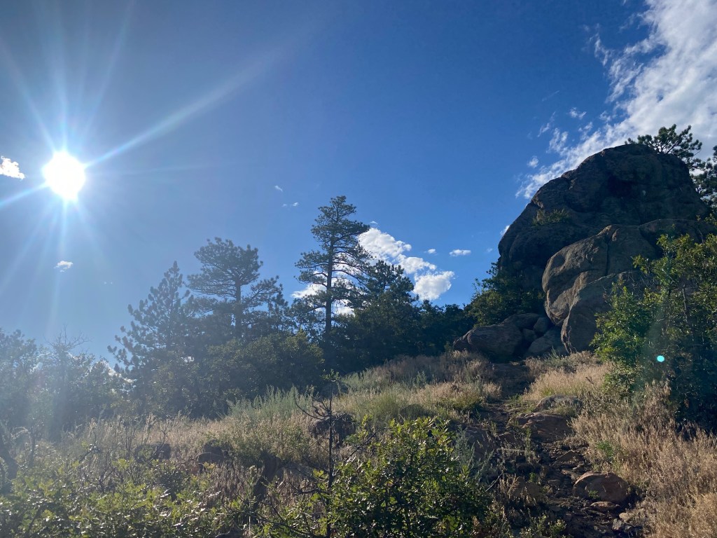
“There’s an obvious granite outcrop on the left. This appears to be the highest point of Plymouth Mountain [7,247′], though there is no marker on the top of the outcrop.” –Summitpost.org. I thought maybe this was called Plymouth Mountain as a nod to Plymouth Rock, but it appears more connected to a homesteader of the area, John Williamson of Plymouth, England.
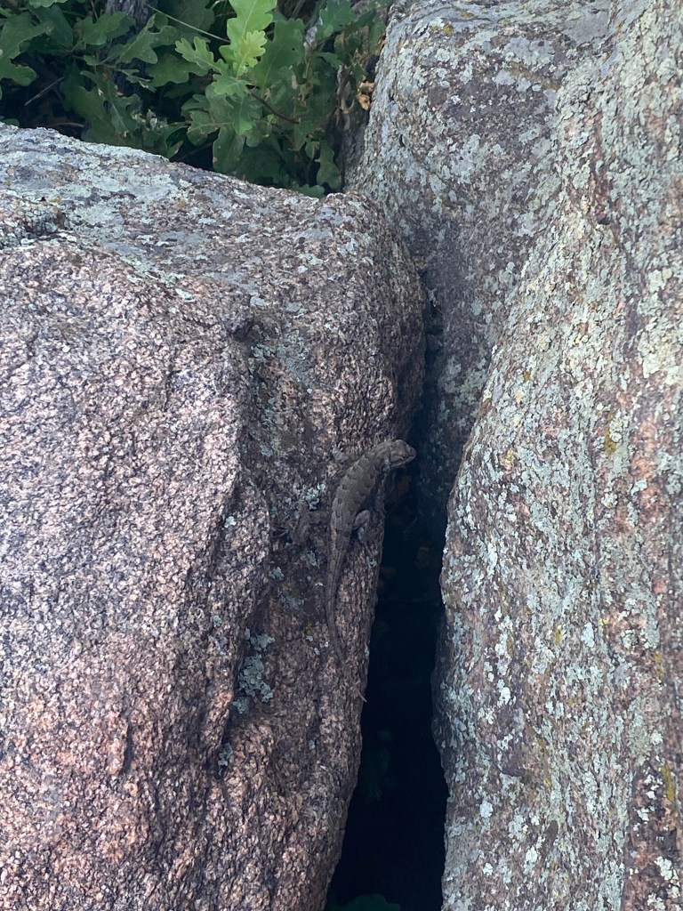
A reptilian neighbor on the rock.
The rock is definitely climbable, and the higher you go, the better the view. I didn’t make it all the way up, but did hang out on the rock for a bit. Despite being a one-way-in, one-way-out trail, I didn’t run in to anyone else during my time up here.
The rock in all it’s glory.
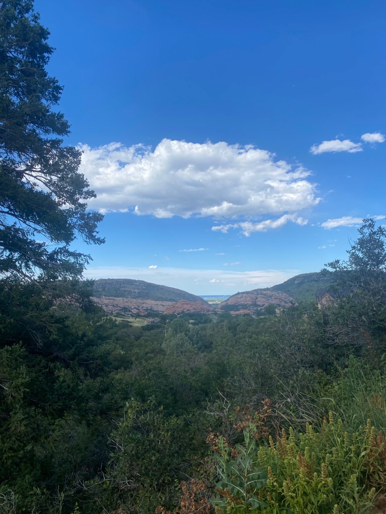
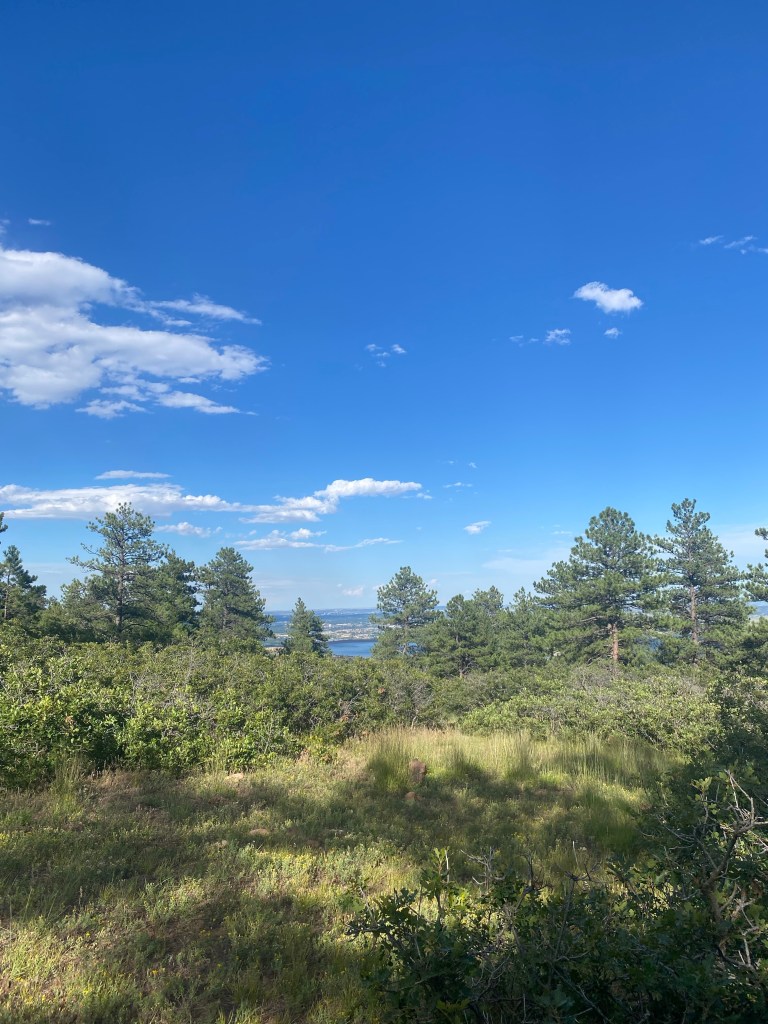
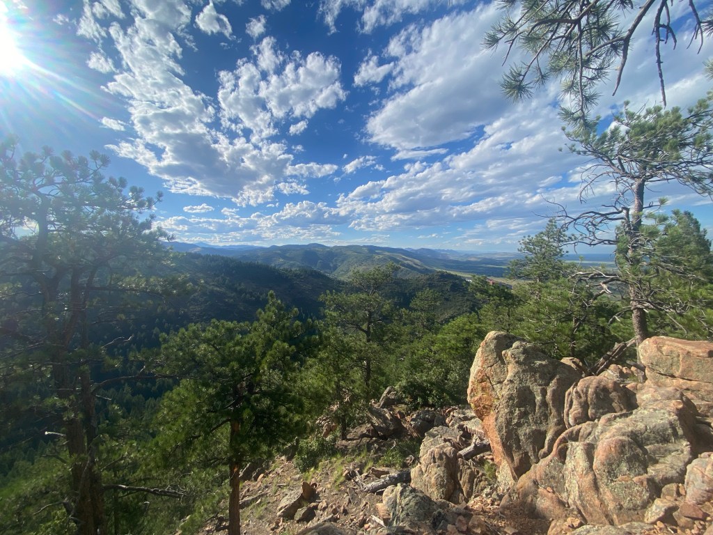
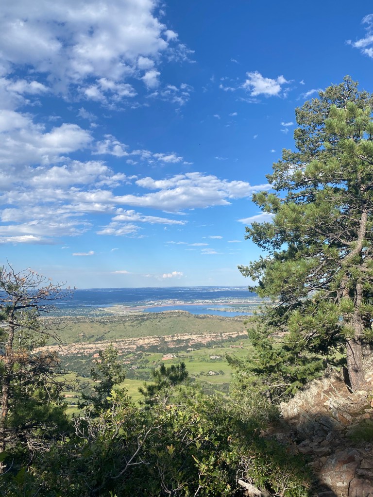
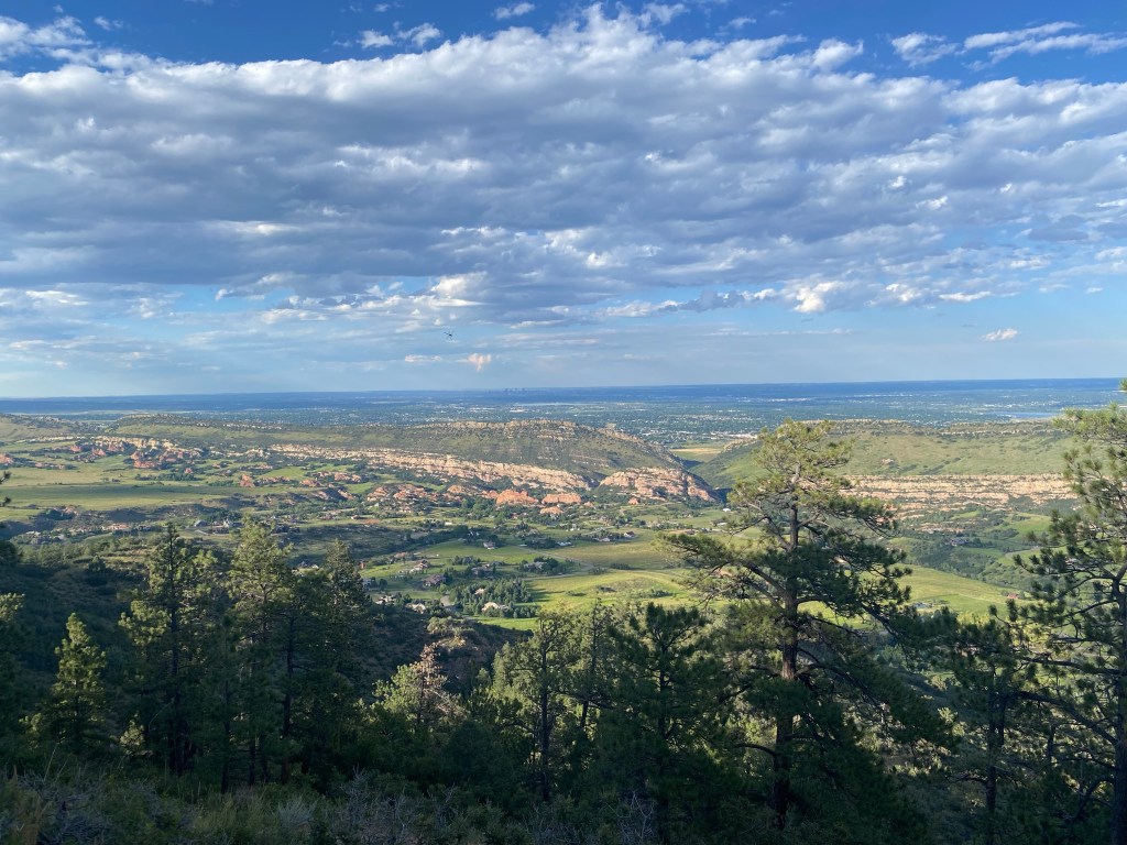
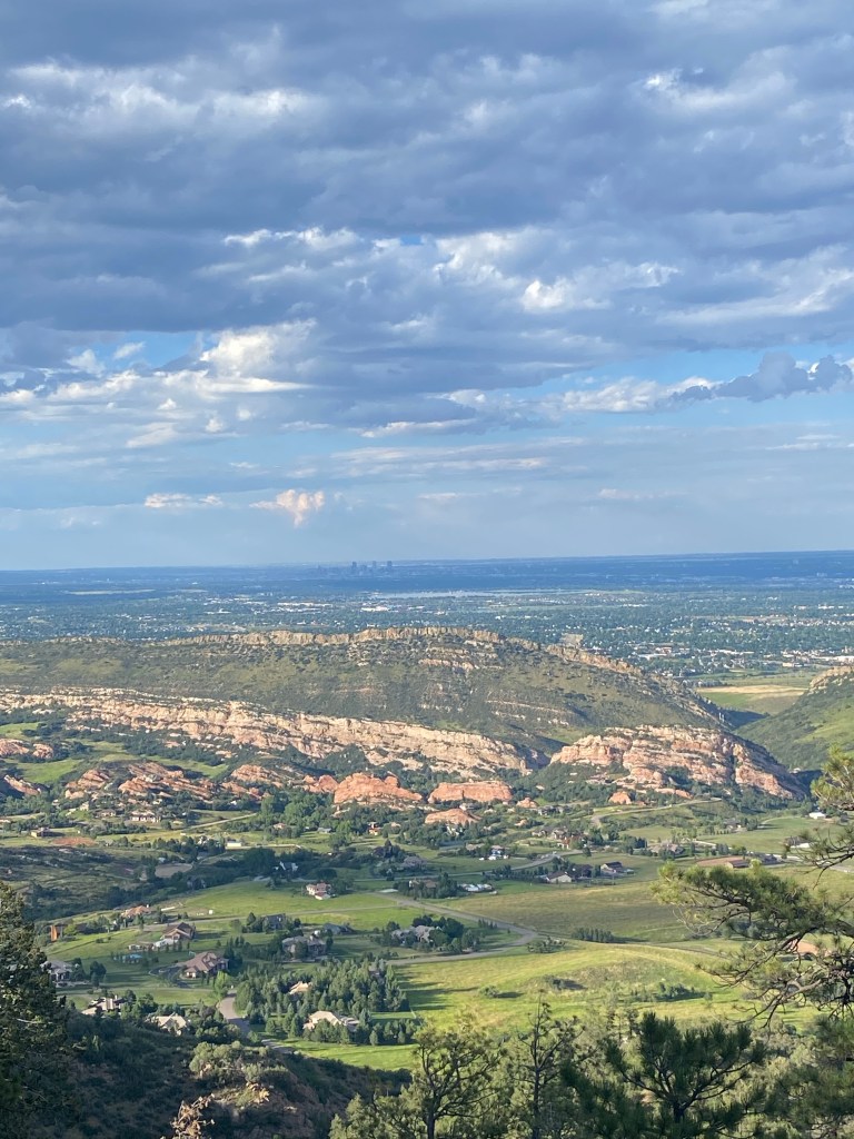
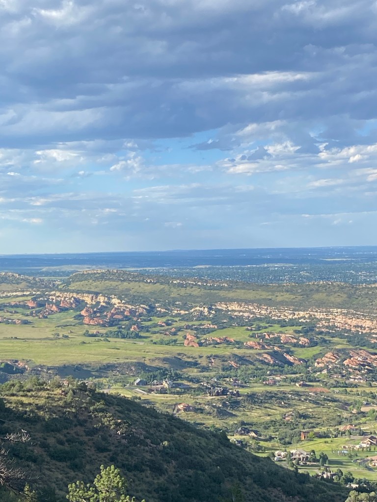
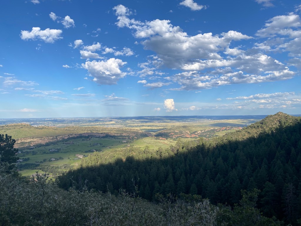
A lookout point, with sweeping views of the mountains opening up.
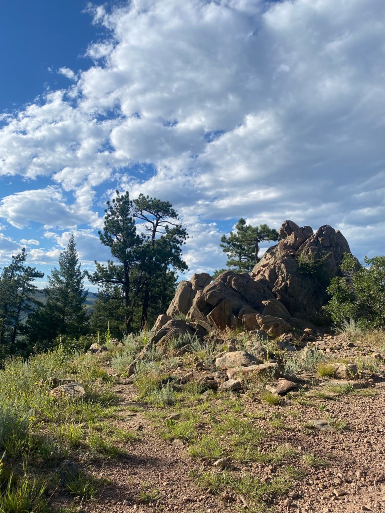
The end of the summit trail (though again, the large rock was definitely the summit.) Some protruding rock formations make for nice seats and/or boosts to get some extra elevation for taking in the views.
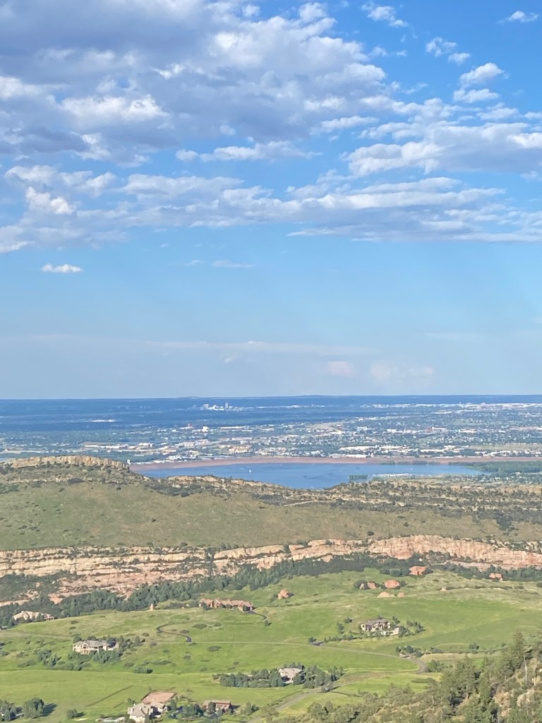
These views.
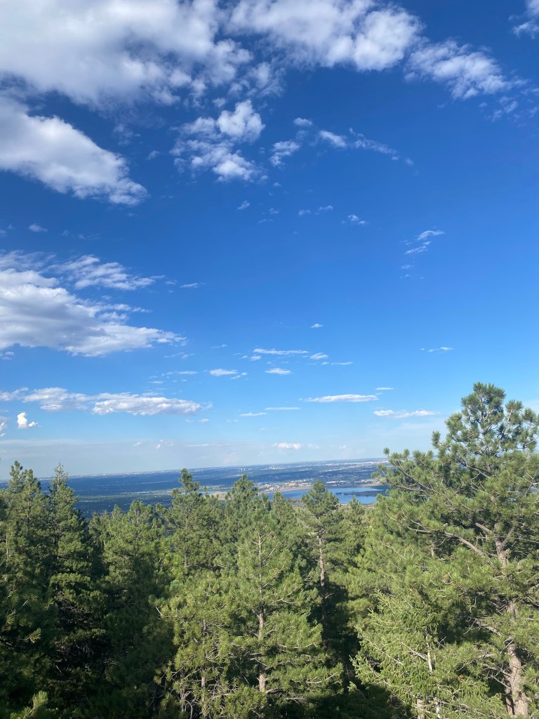
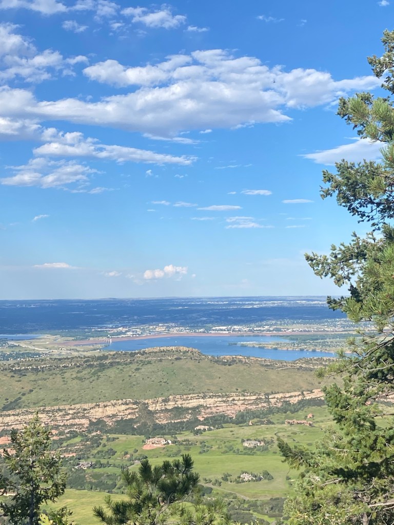
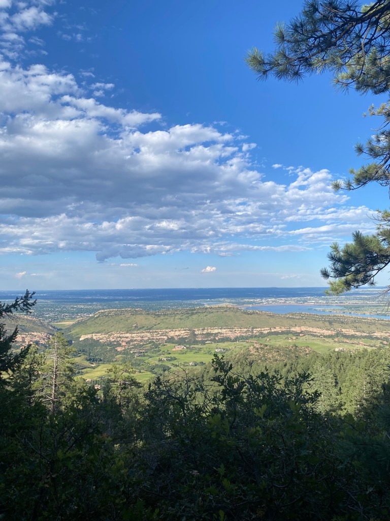
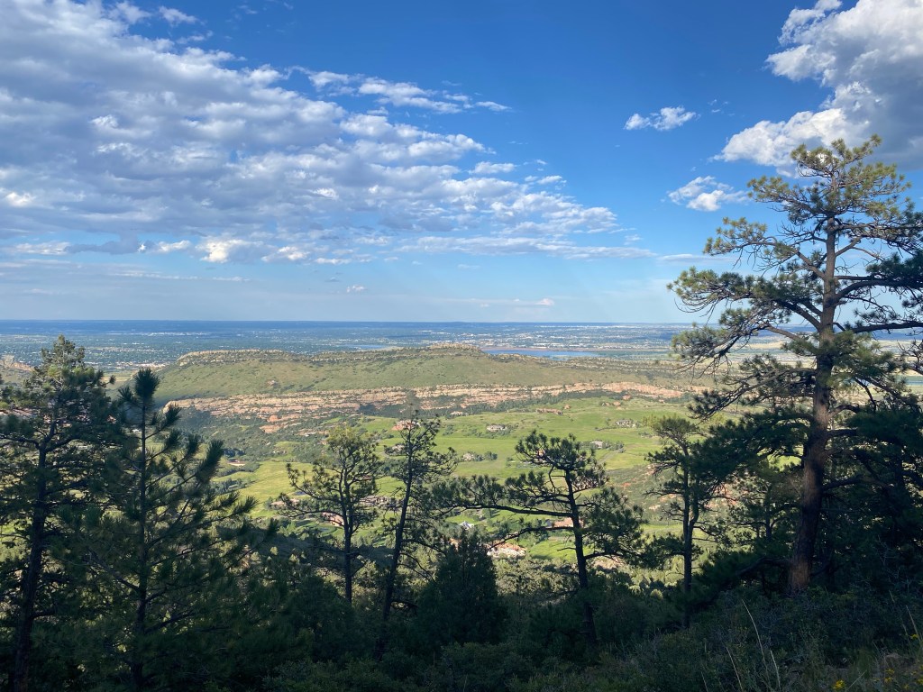
Went a little off the established trail on a herd spur, to get this shot of Chatfield Lake.
Same shot with some trees and rocks for framing.
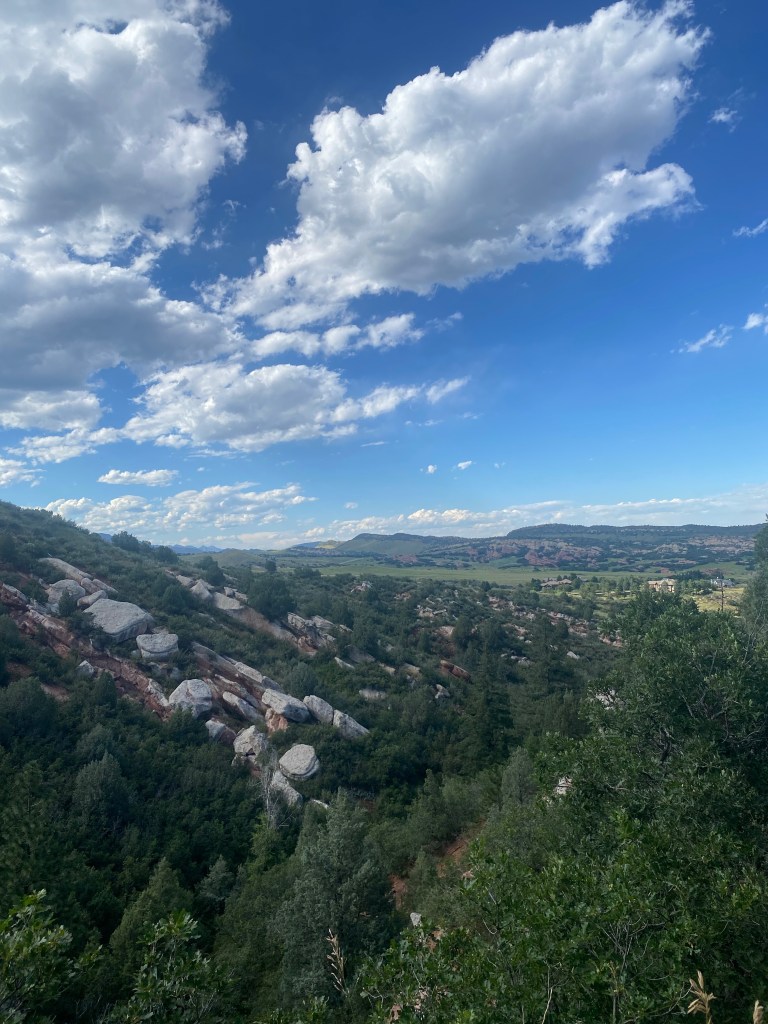
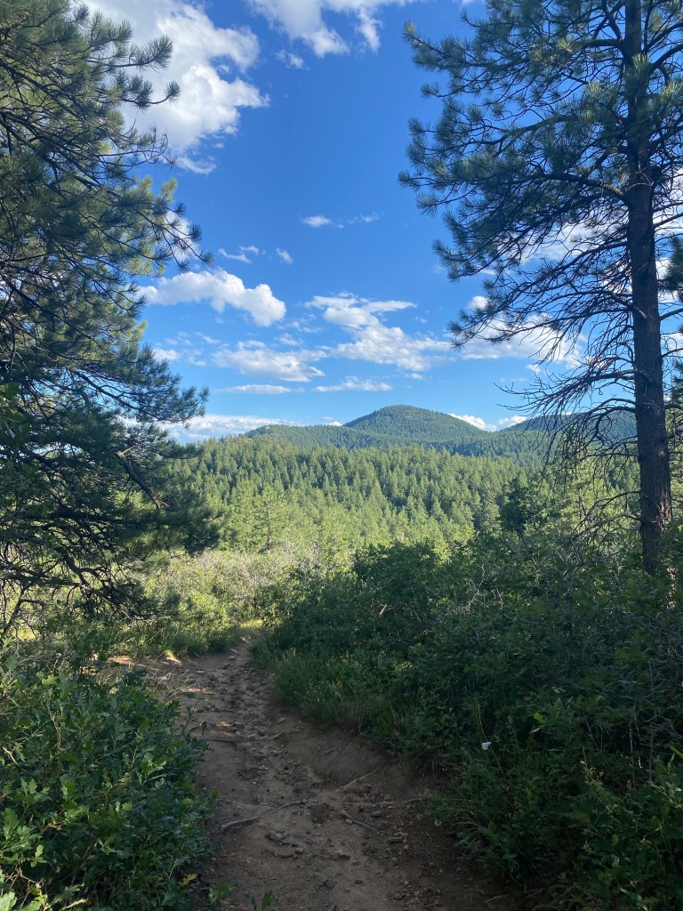
Another look at the rocks at the end of the trail before heading back. The hike is still slightly less than halfway over, with a loop yet to be completed to go back to the Plymouth Creek Trail. Turning straight back is certainly possible, but I’d highly recommend seeing out the loop. Essentially all the significant elevation gain has already been had by this point as well.
A look back at the summit-indicating granite rock again on this sunny August evening.
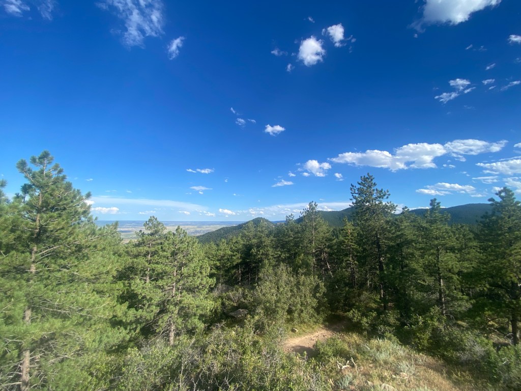
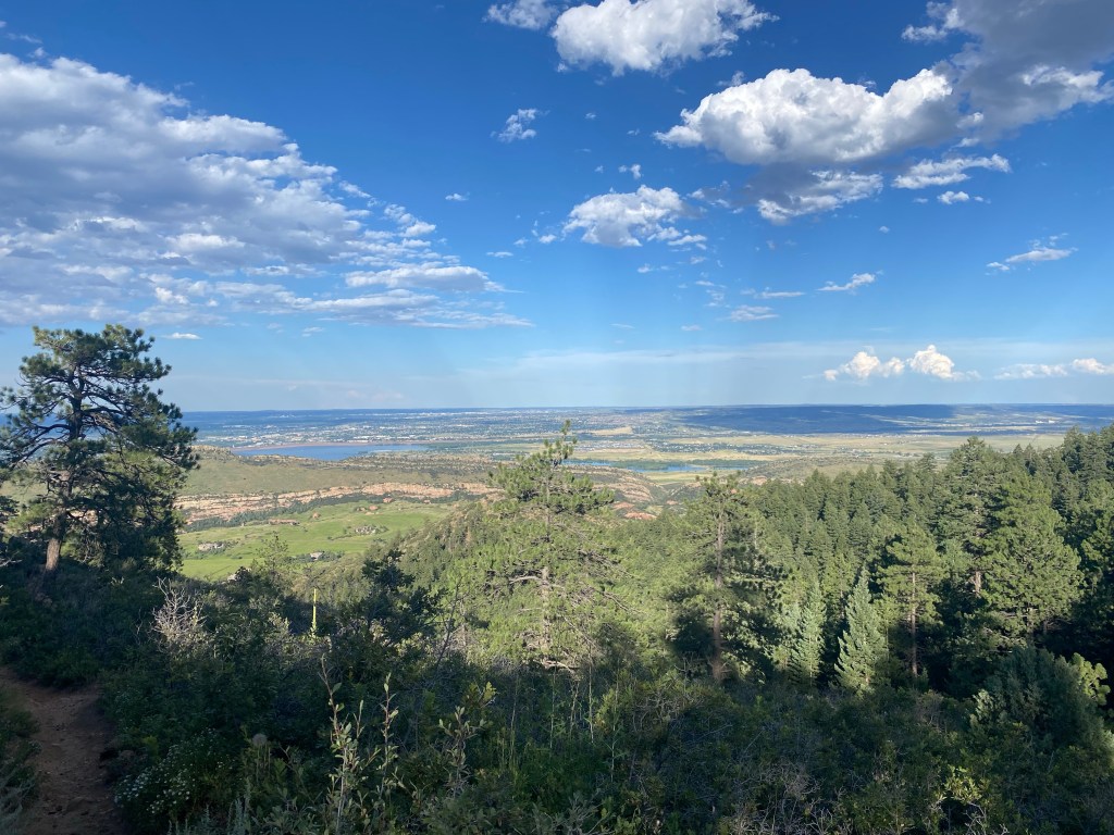
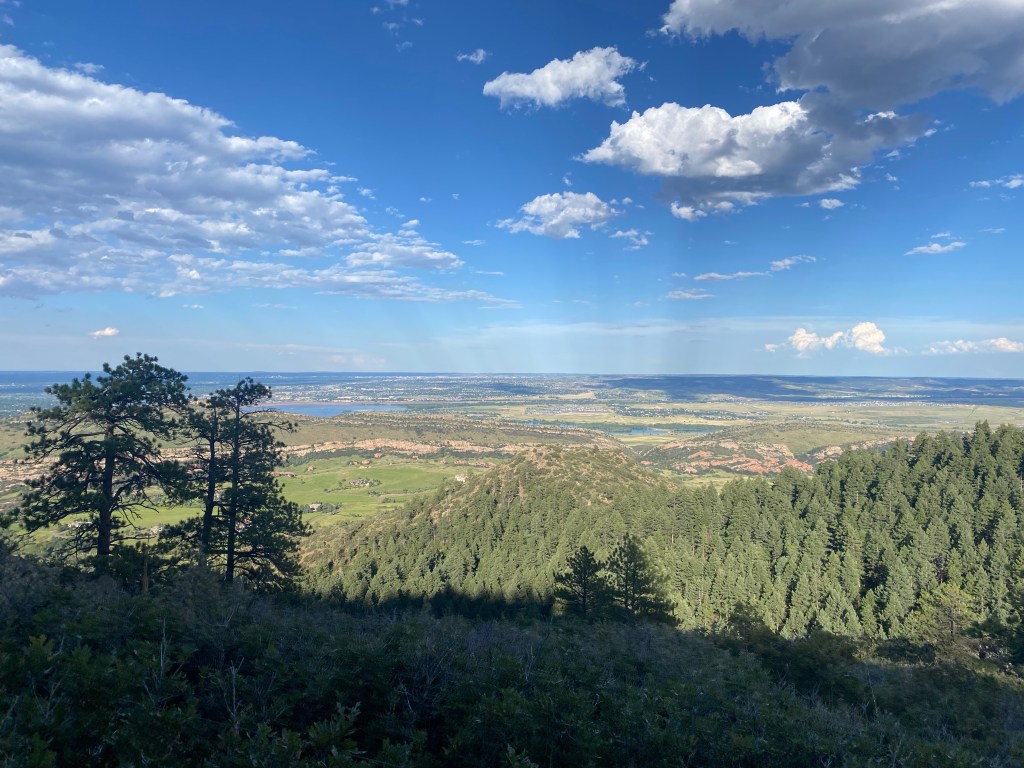
The second half of this hike was littered with beautiful, panoramic landscapes, highlighting Colorado’s natural beauty. I definitely won’t put a caption on every single one: many speak for themselves. I found myself taking, to be honest, too many pictures, but it was so darn pretty and the viewpoints from the trail offered crystal clarity.
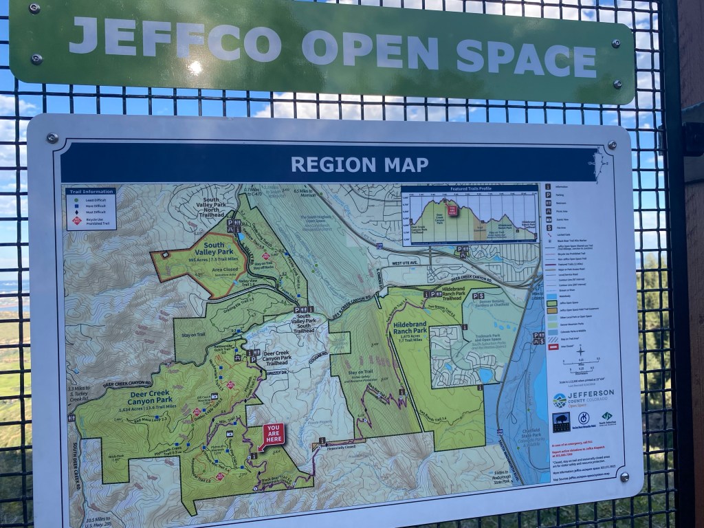
A map of the adjoining Jefferson County Open Space trails. This hike could certainly be extended and connected to other trails to cover even more ground, or the nearby Bill Couch Mountain (7,057′) could be summited.
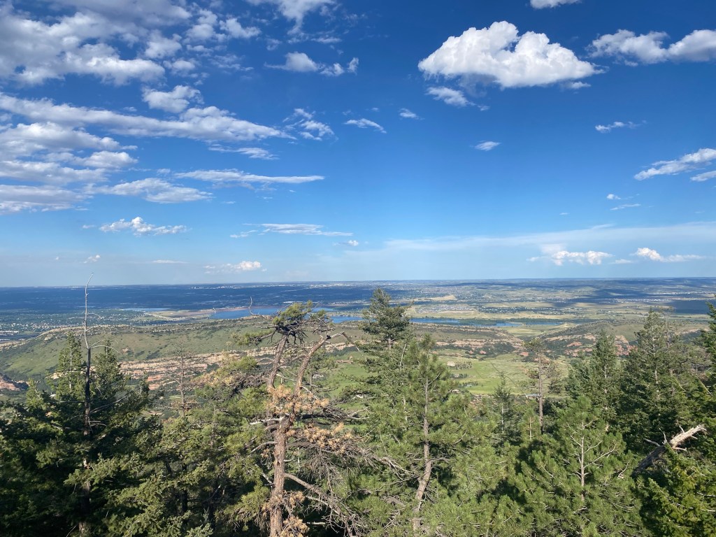
Back to the Colorful Colorado vistas.
Note Denver faintly visible in the background.
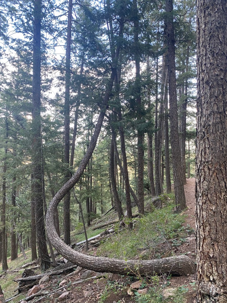
A uniquely branching tree as the hike returned to a more covered forest setting.
A little less sunny now than when I started, but still at least an hour of summer sunlight left to burn. But at this point, I’m nearing the end of the trail.
6.84 miles, 1,413 feet of elevation gained, and 2 hours and 41 minutes later, I’m finished with a more than decent hike, less than 30 minutes from my Denver home.
The Strava map and statistics.
The final elevation map. Note the super easy beginning, the steady but not crazy grade to reach the summit, and the smoother sailing that the second half of this hike offers.