Colorado has an innumerable amount of worthwhile hikes to complete, but there’s not always time to venture deep in to the Rocky Mountains to snag a 14er. For a slightly […]
Colorado has an innumerable amount of worthwhile hikes to complete, but there’s not always time to venture deep in to the Rocky Mountains to snag a 14er.
For a slightly challenging hike that offered a variety of views over a couple hours, I was delighted with my time on the Green Mountain Trail at William Frederick Hayden Park.
I hit the trail on a warm Fall afternoon, taking a clockwise approach on the Green Mountain Trail: an approach that would mean saving the main mountain ascent and descent for the end of my hike.
Green Mountain Trail at William Frederick Hayden Parkin Lakewood, Colorado
Hiked On: October 10, 2022
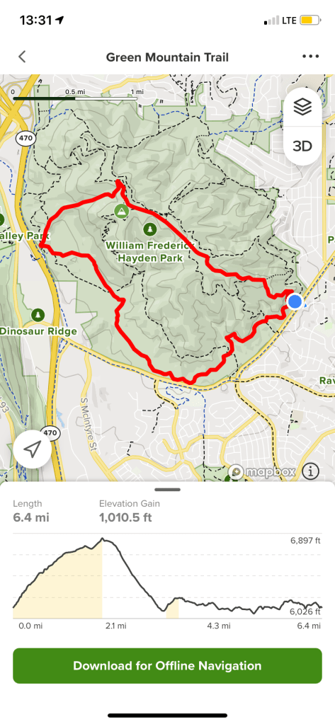
Distance: 7.1 miles
Elevation Gain: 1,081 feet
Time: 2 hours, 44 minutes, 14 seconds
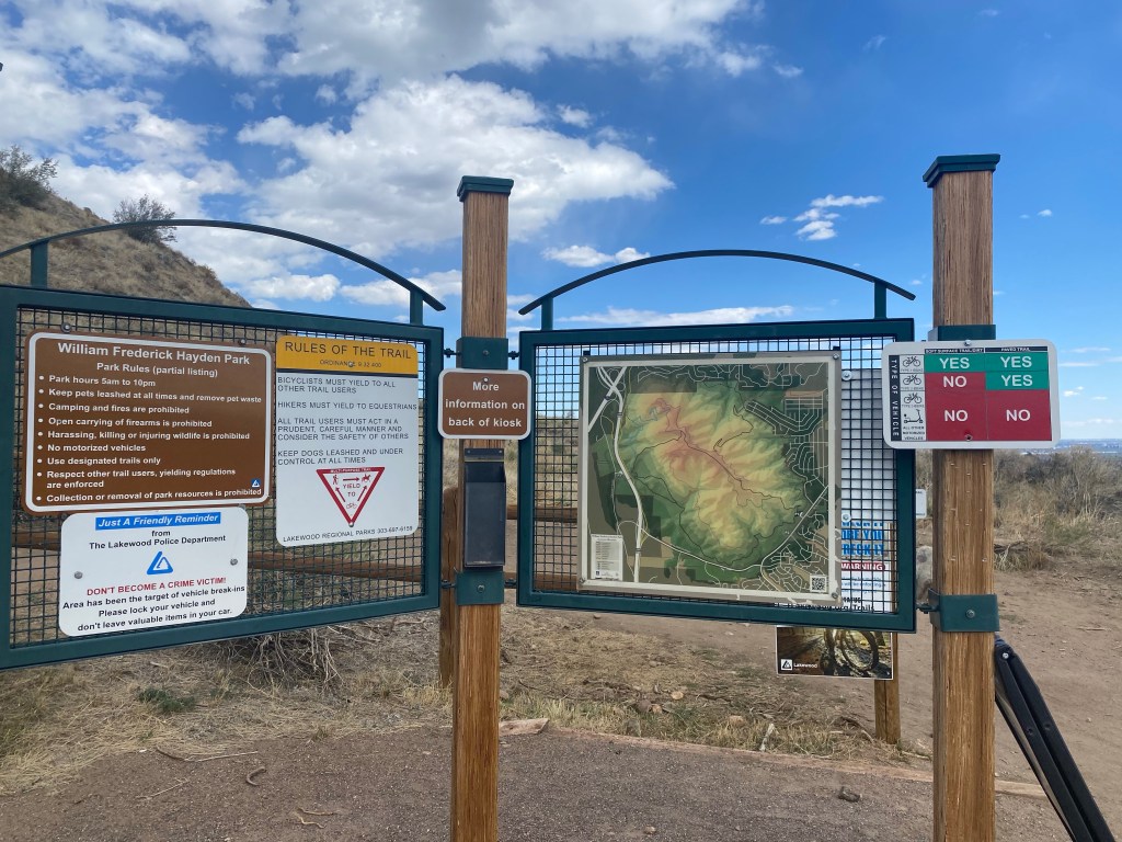
William Frederick Hayden Park offers a few branching paths, but I stuck mainly to the Green Mountain Trail: a 6.4 mile loop with 1,011 feet of elevation gain, baring detours. As evidenced on the map at the bottom, the majority of the elevation is gained in a short span of ascent. I opted to take this path backwards (clock-wise) to start with winding hills before finishing with a steady ascent to the summit.
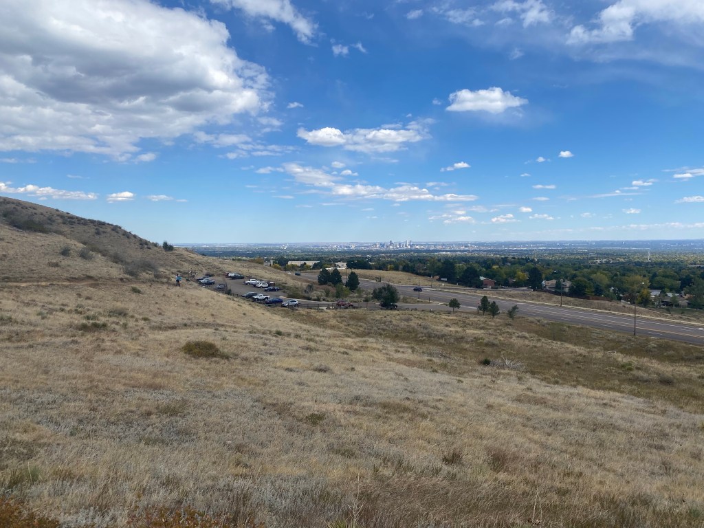
View from the parking lot, which could easily accommodate 20+ cars. Still, not being far at all from the Denver metro, I could see the lot filling up quickly at peak times for this easily accesible hike.
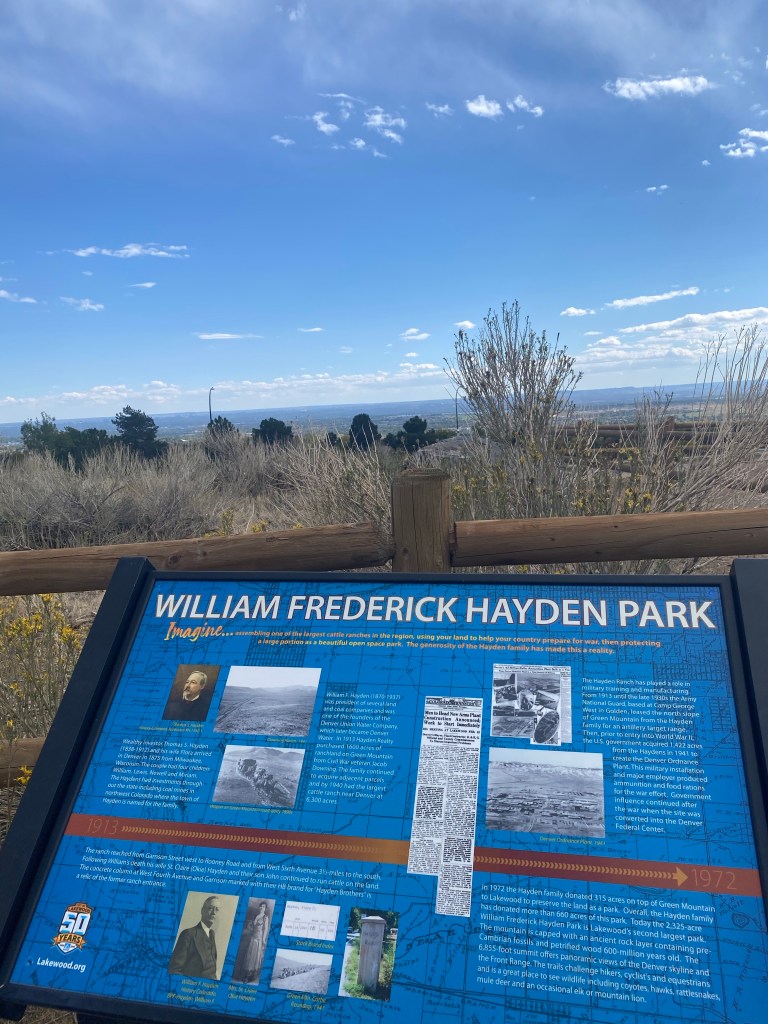
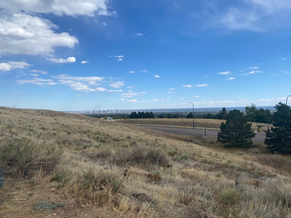
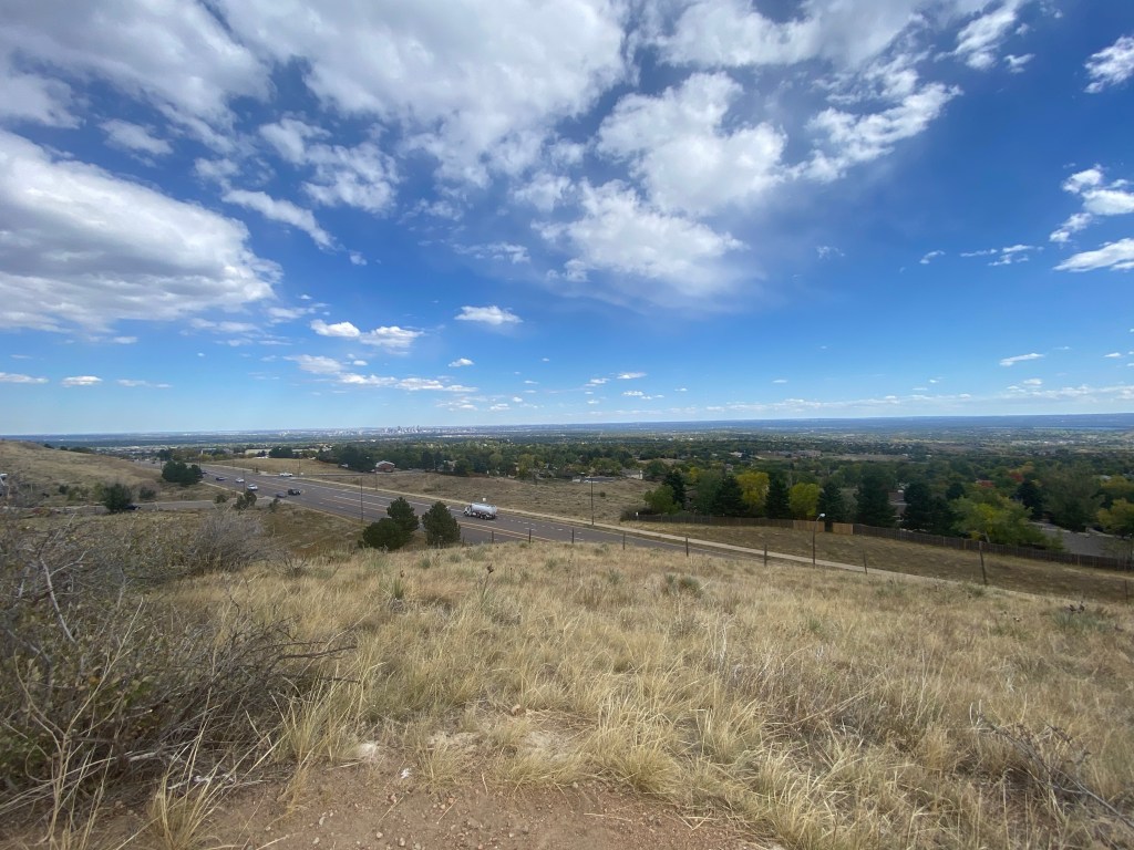
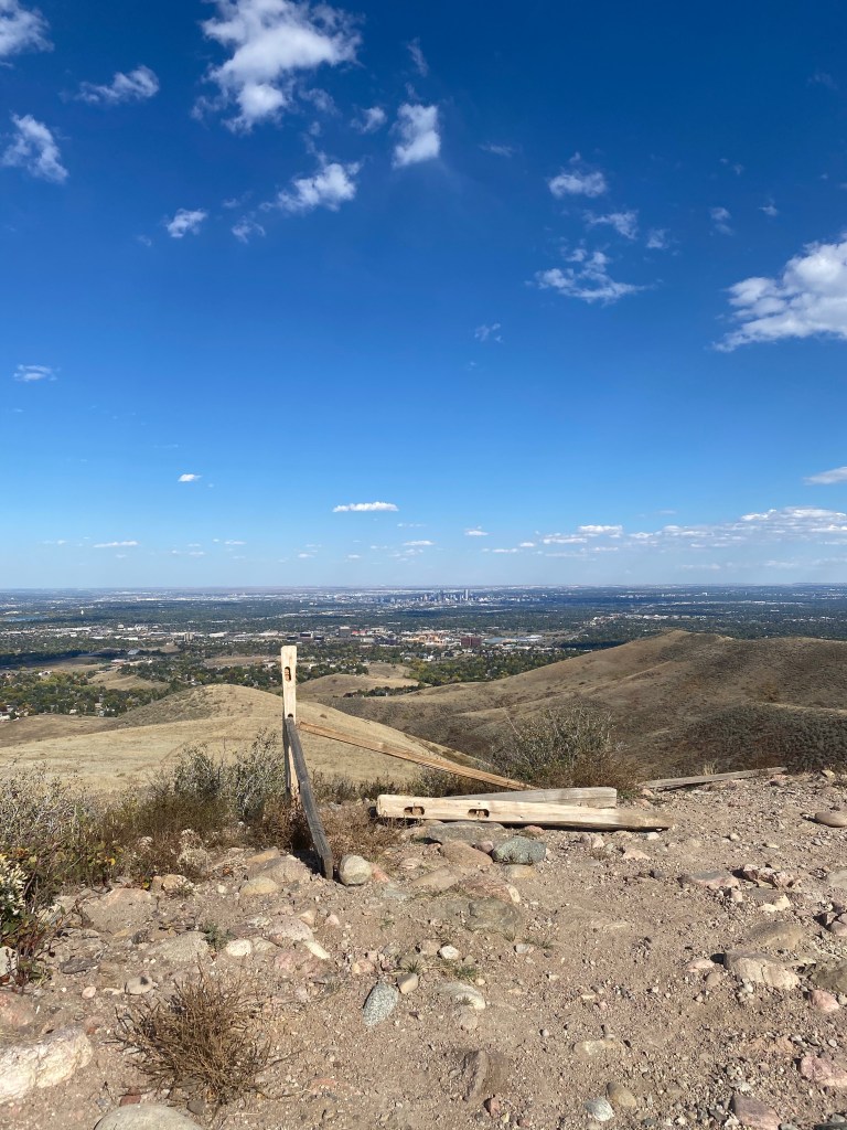
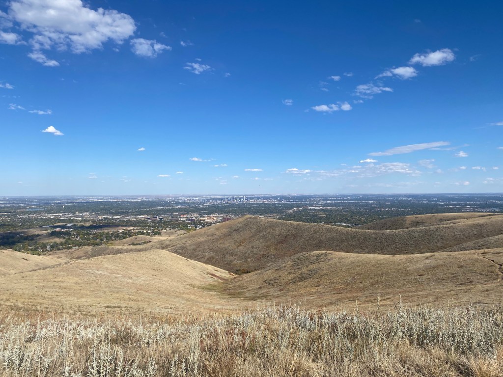
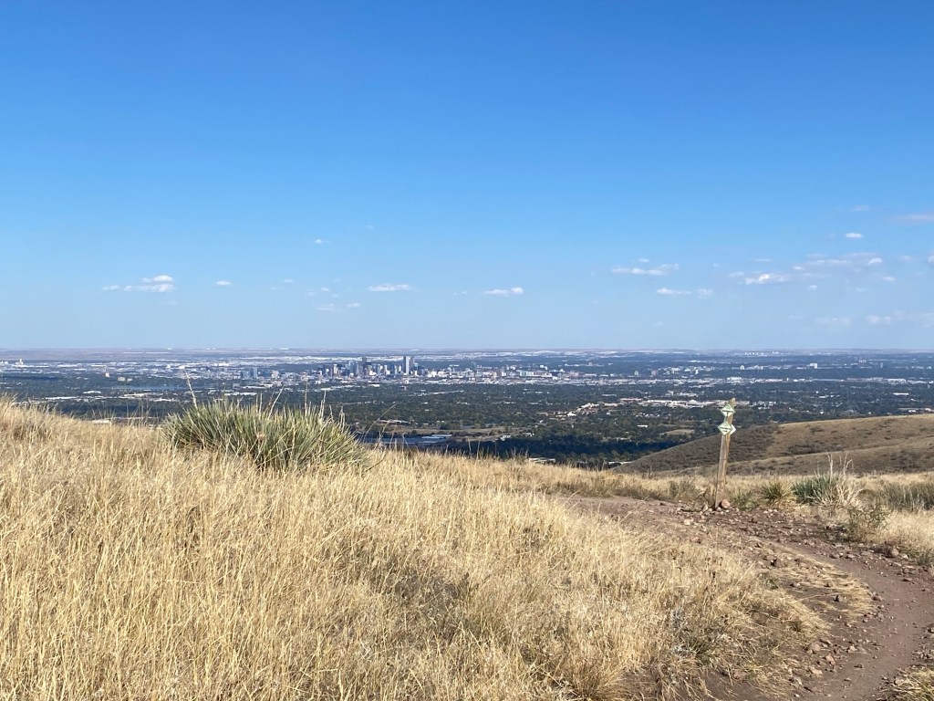
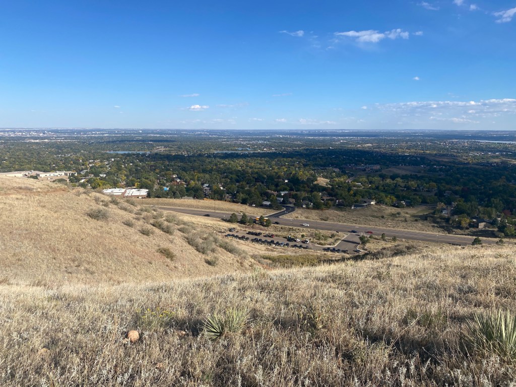
The City of Denver, easily seen from the parking lot and throughout parts of the trail.
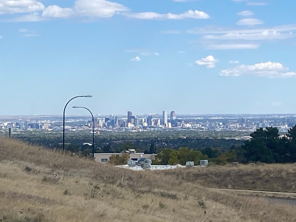
A closer shot of Denver’s skyline from the parking lot.
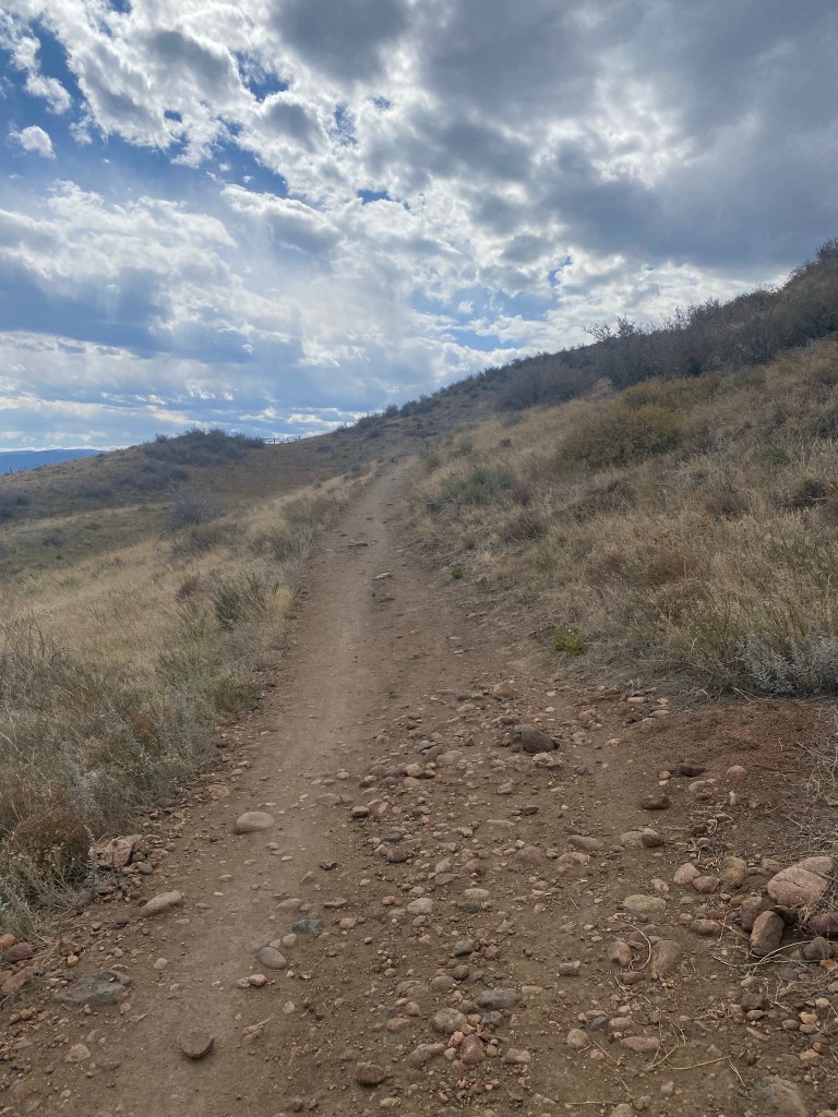
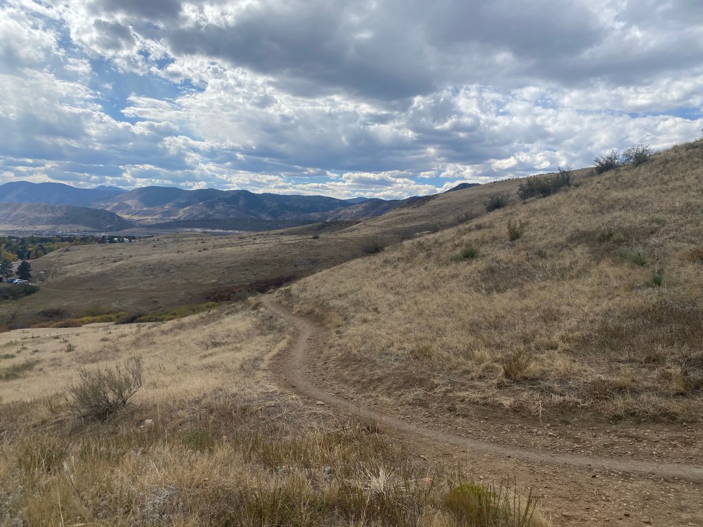
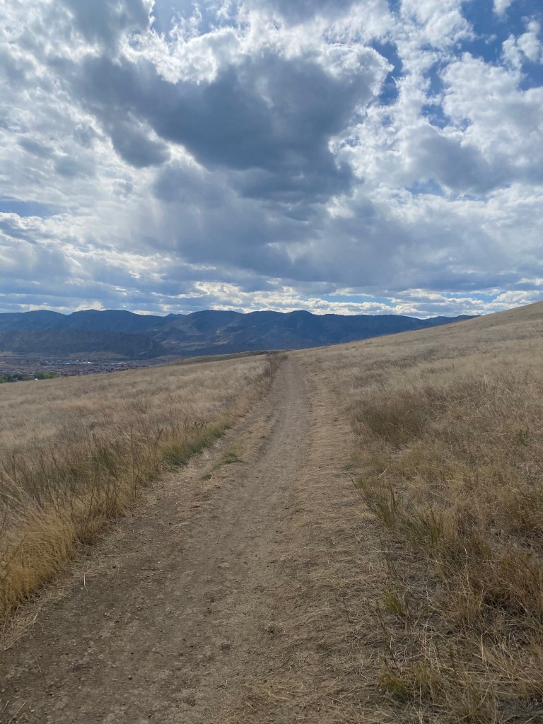
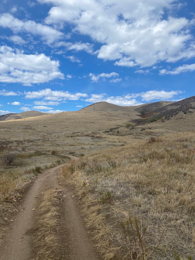
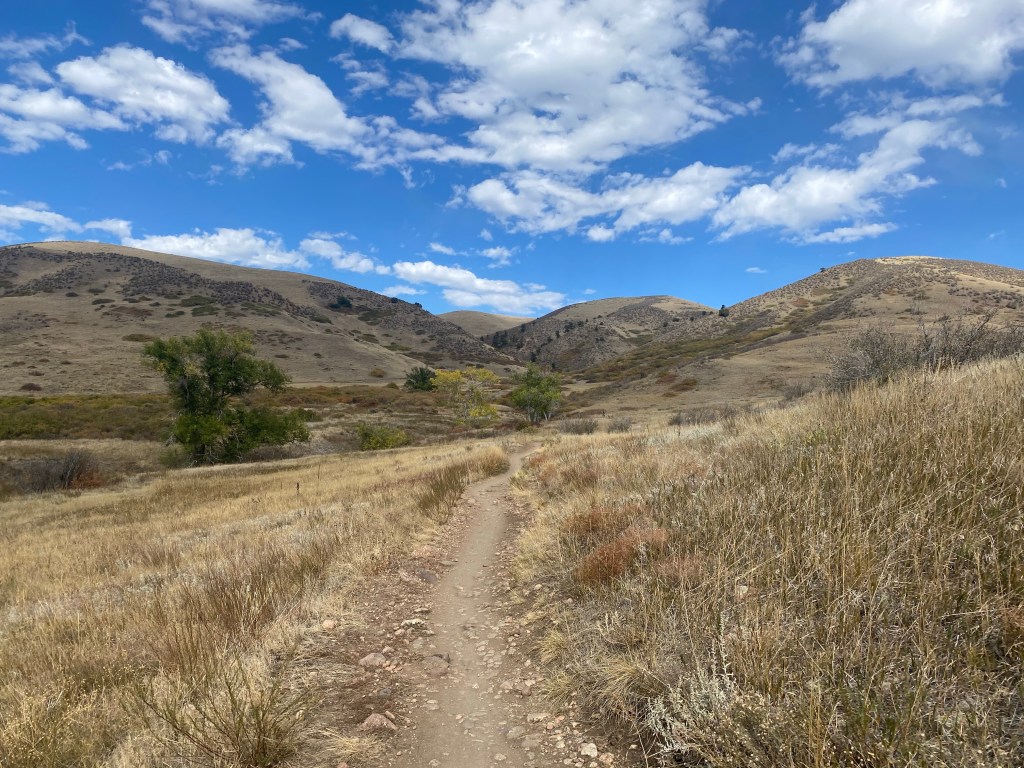
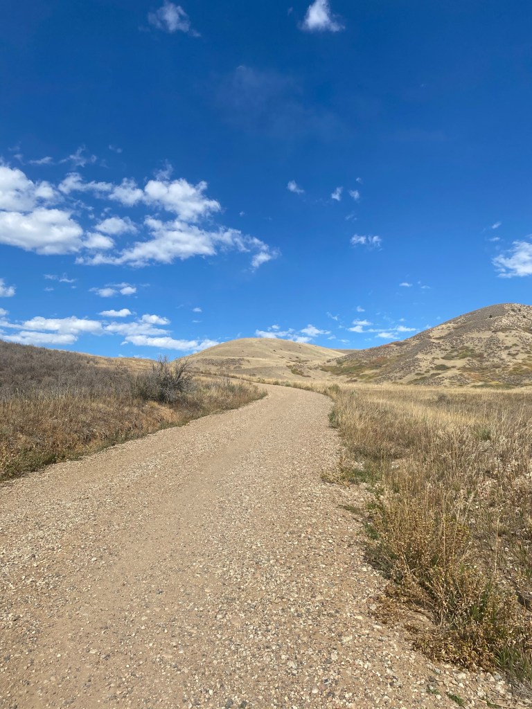
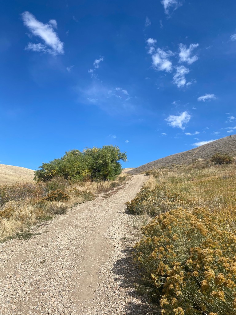
Starting clockwise on the Green Mountain Trail, winding dirt paths meandered left, right, up, and down through rolling hills.
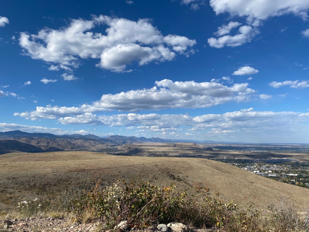
Front range mountains quickly began to peek out as the trail headed West…
…with the City of Denver still visible to the East. Foothill hikes may leave something to be desired in terms of scale and scope, but I love a hike that showcases both Colorado’s beautiful mountains and largest city.
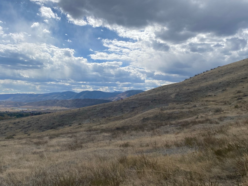
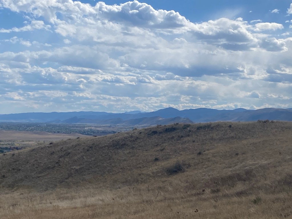
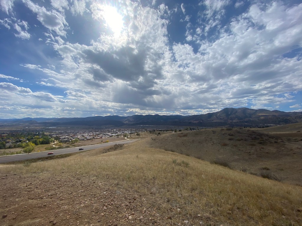
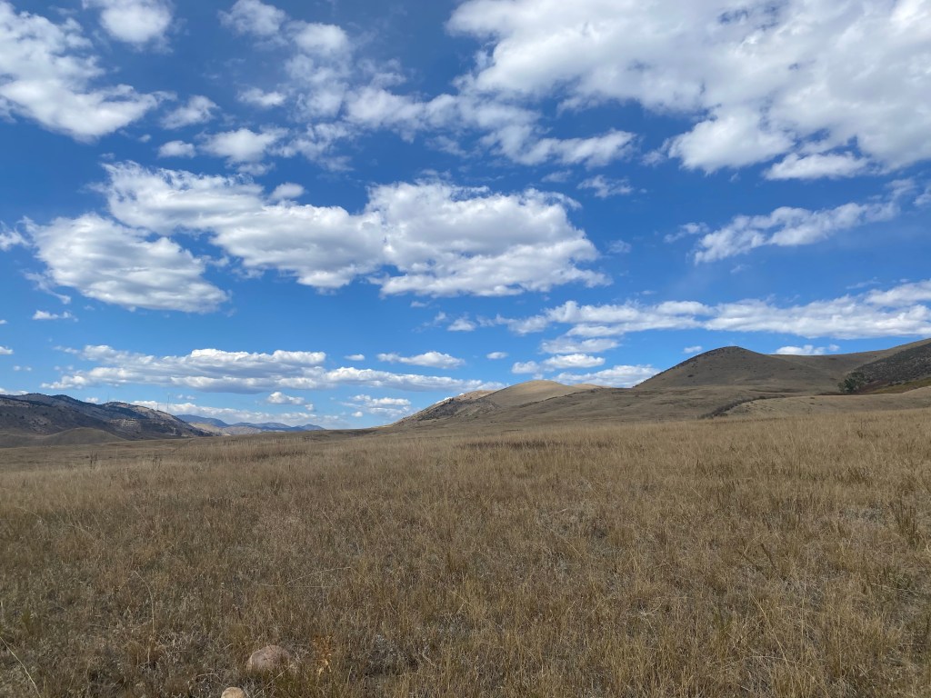
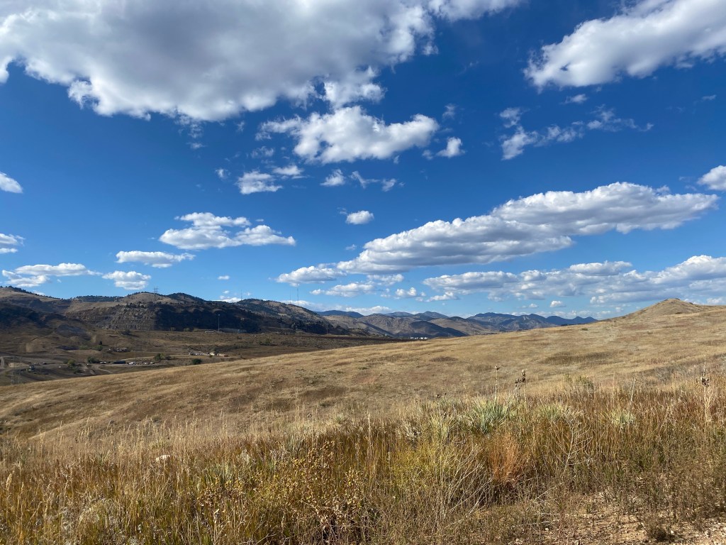
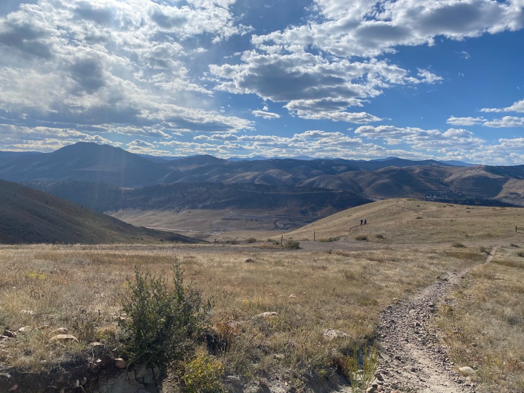
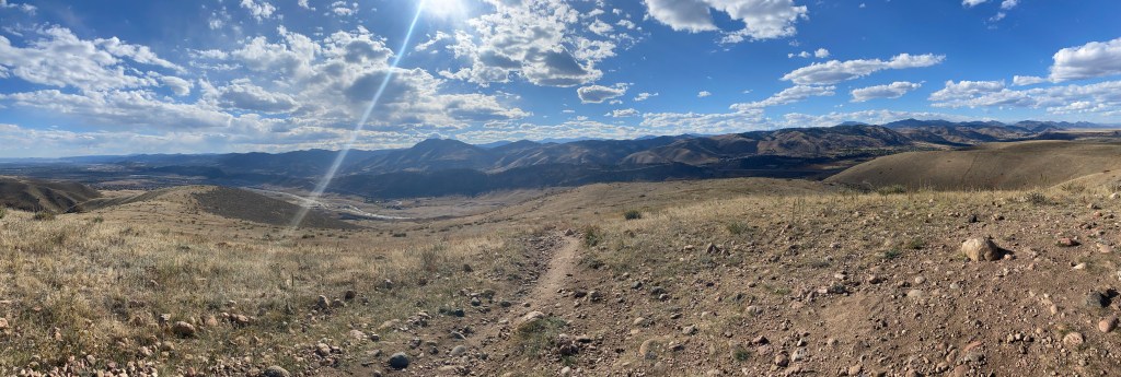
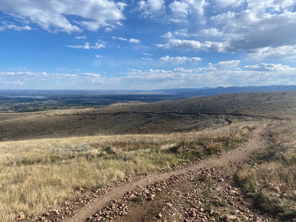
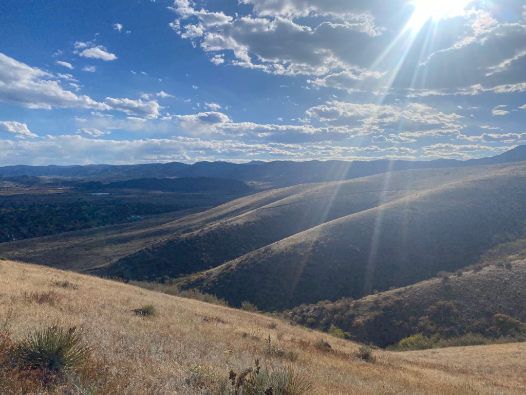
The view opens up to reveal a wider look towards the mountain range
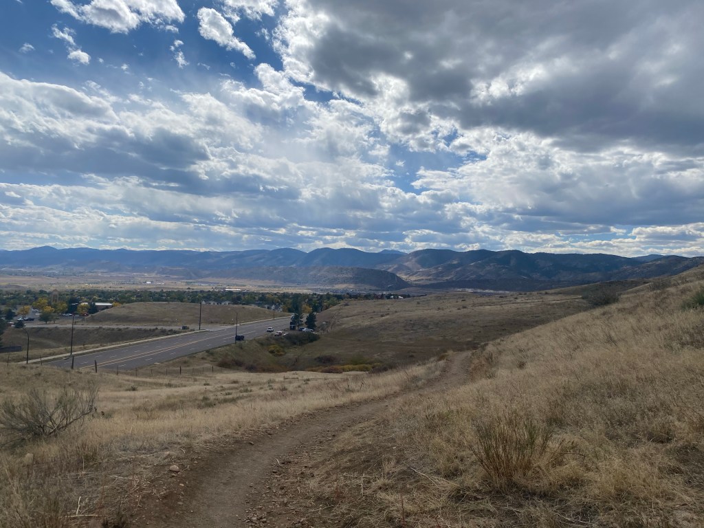
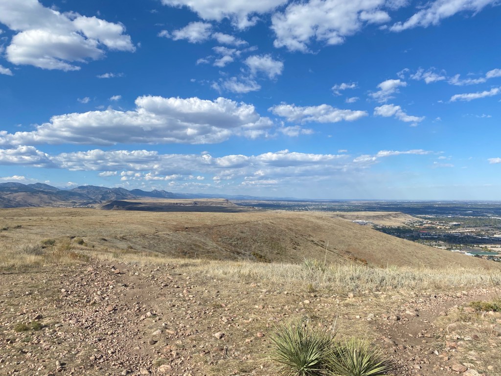
Looking back, the city starts to become more distant, but the view still allows you to see very from the elevated vantage point off Alameda Parkway.
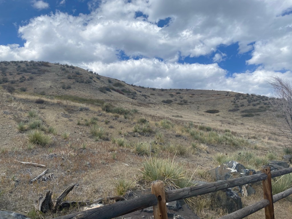
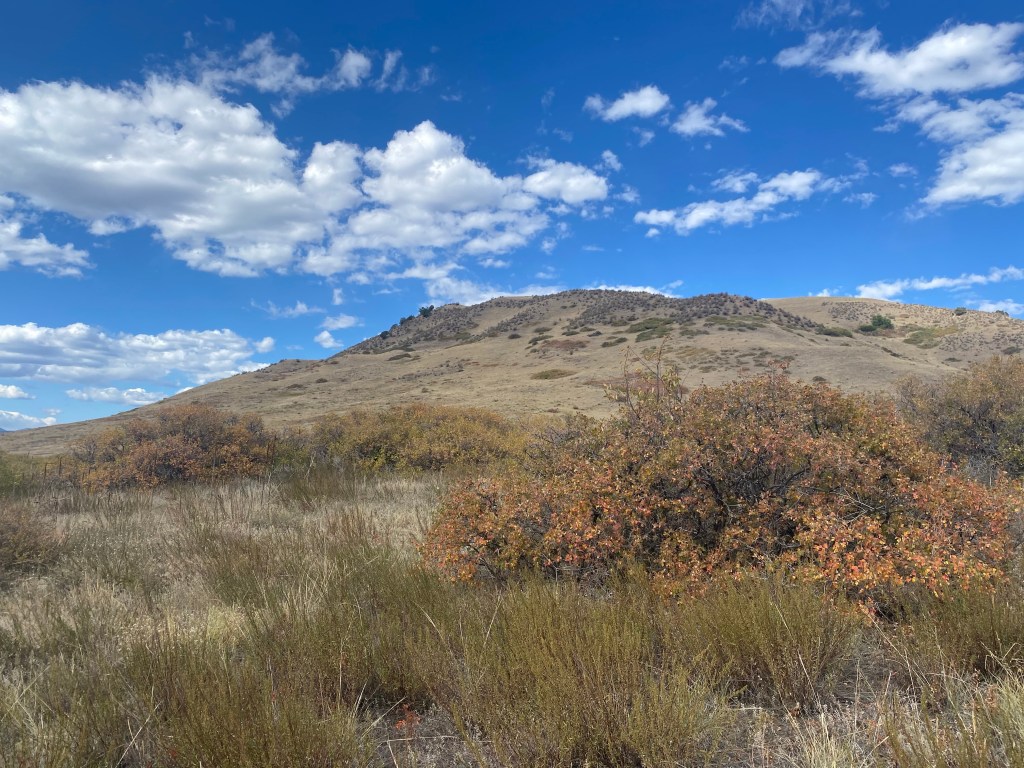
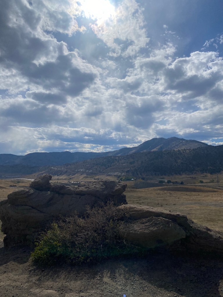
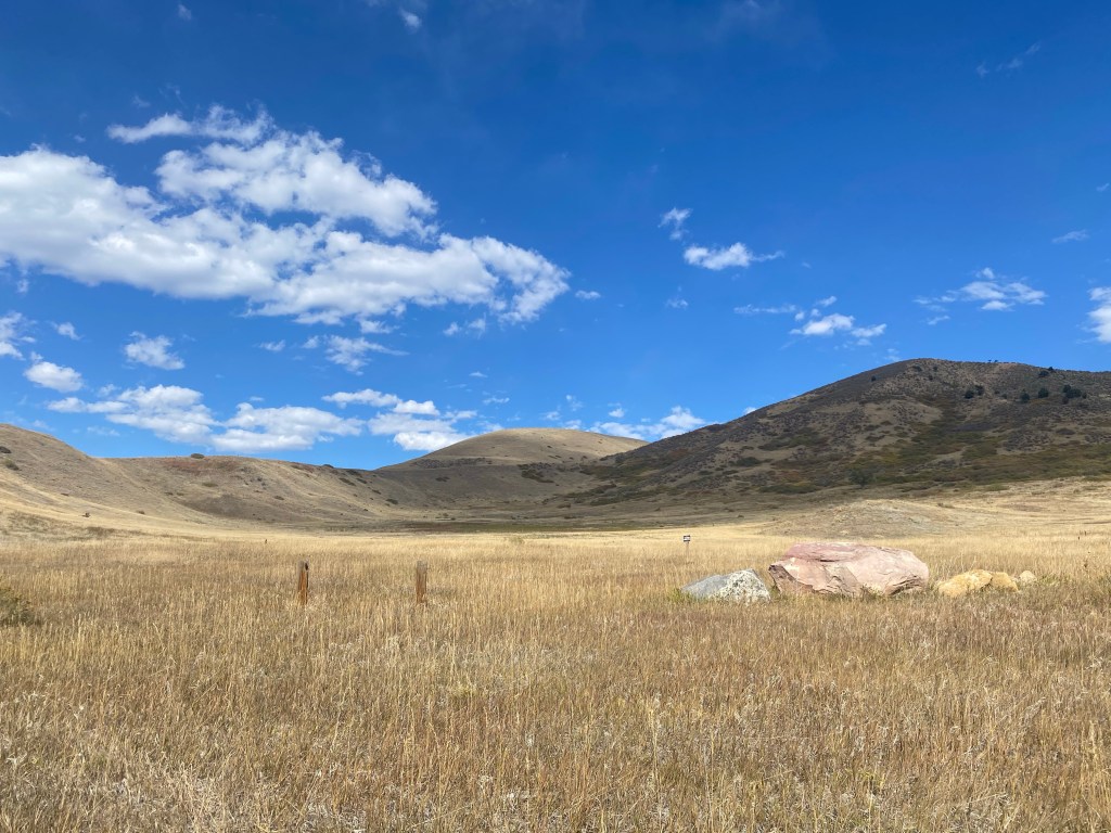
I’m not sure if the landscape was greener at a different point in the season or different point in time, but much of Green Mountain was a muted brown after a hot, long, dry summer. Of course, compared to much of Denver’s natural landscape, a little bit of greenery can stand out, which could very well be how this mountain got its name.
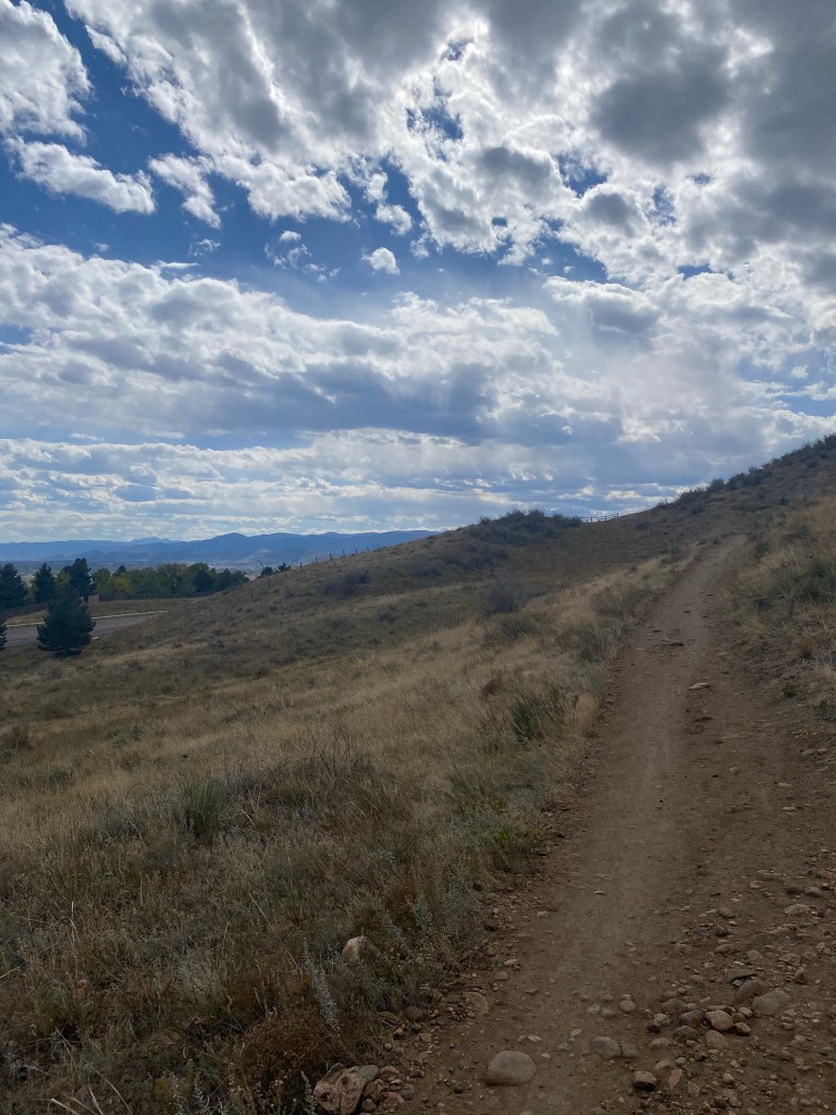
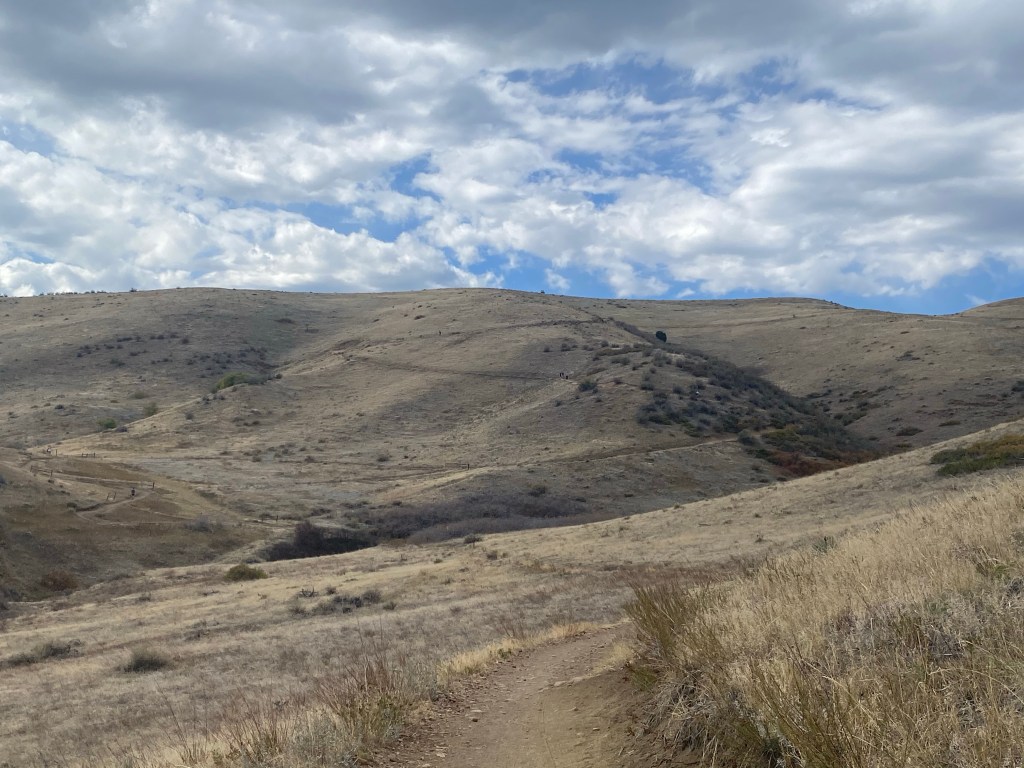
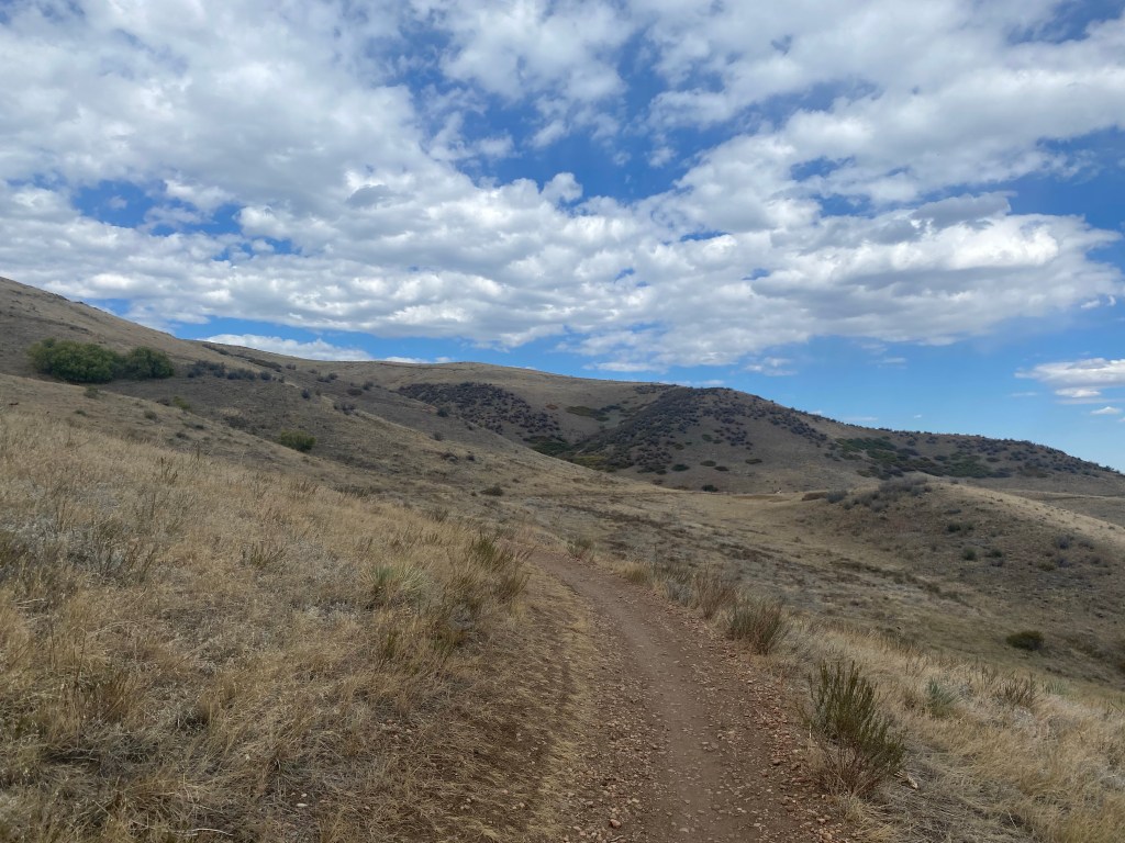
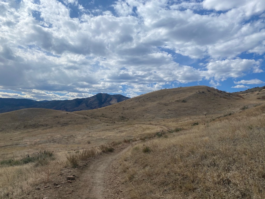
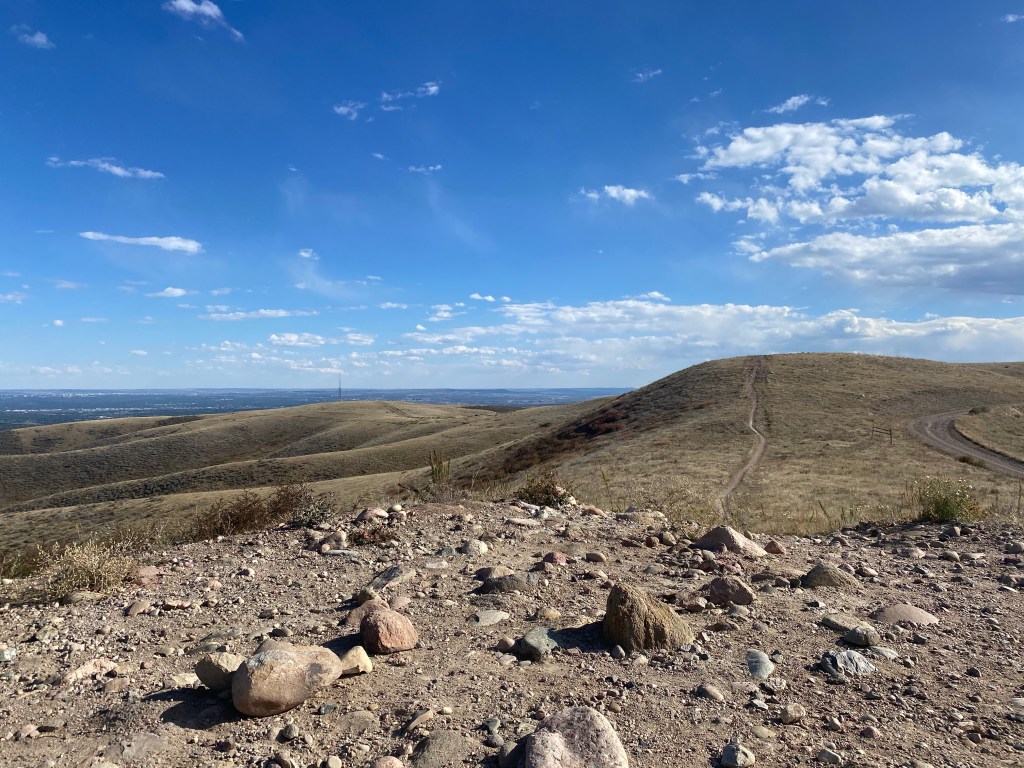
As the trail zig-zagged and the hills continued to roll, it became hard to tell which hills the trail would eventually intersect and which hills were on side trails.
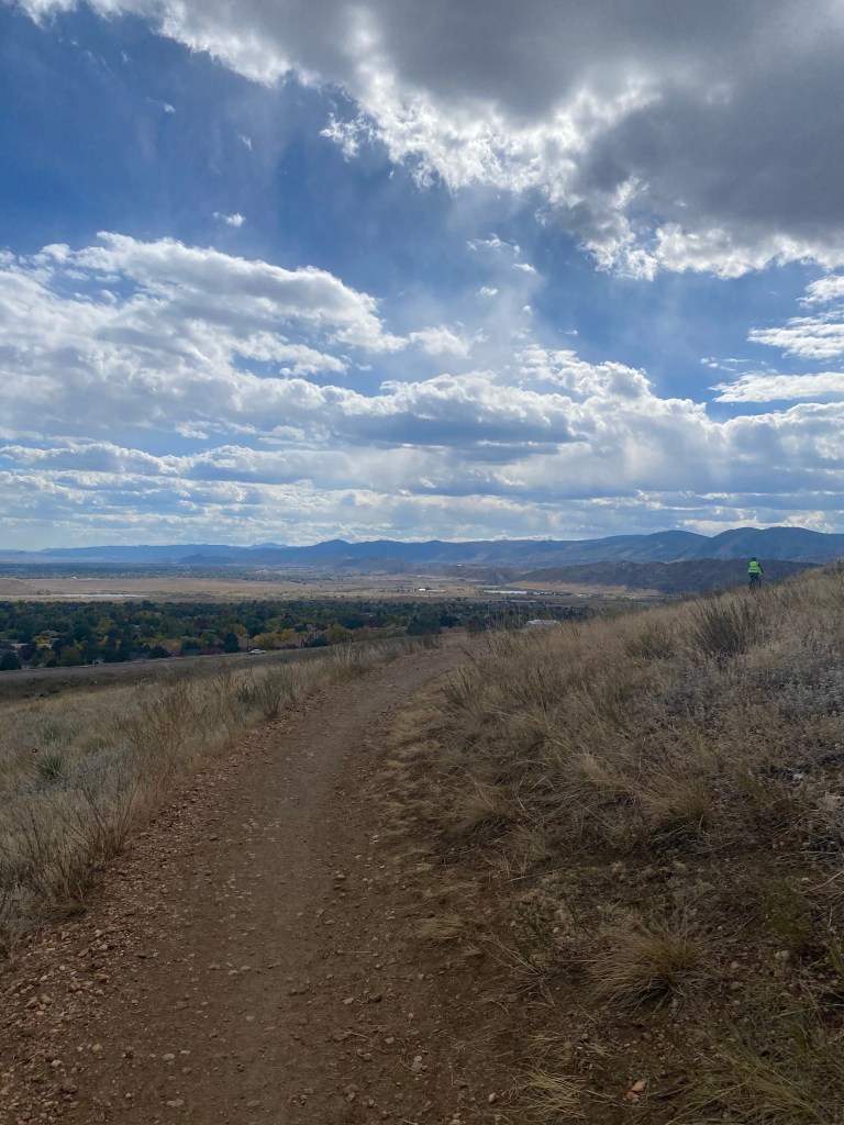
There were plenty of bikers on the trail, and this cyclist just made it in to my shot, providing some scope for this epic view as the trail takes a hard right. Cyclists technically yield to hikers, but whether one was huffing and puffing uphill or cruising downhill, I usually gave them the trail to continue their more strenuous activity. And you know, not get struck by a 150+ pound wrecking ball.
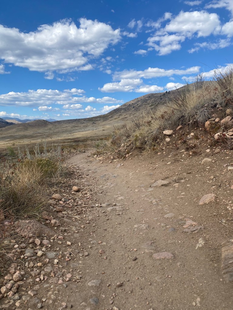
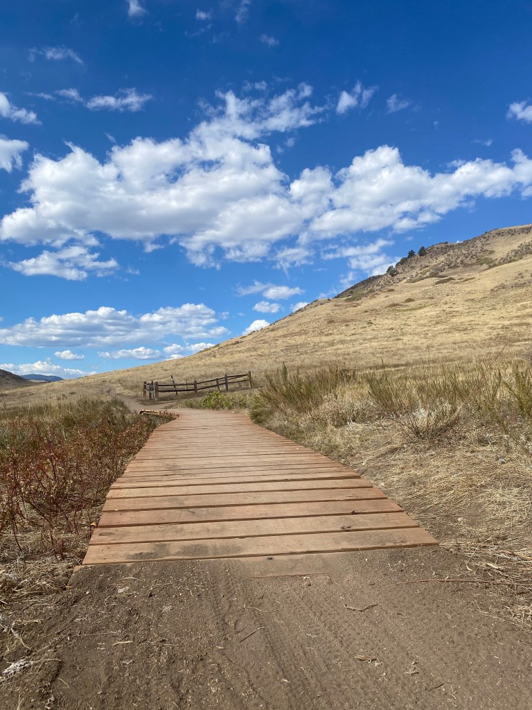
The Green Mountain Trail had frequent pull-off spots: good for weary hikers and cyclists but most importantly, incredible locations for photo ops and vantage points.
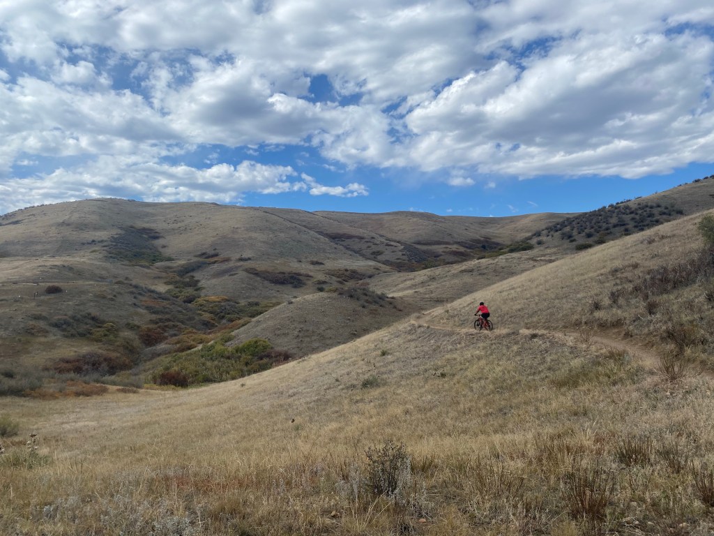
Probably my favorite picture from this afternoon hike. Breathtaking hills against a beautiful blue sky, with a lone cyclist to draw the eye to the trail. Screensaver worthy if you ask me.
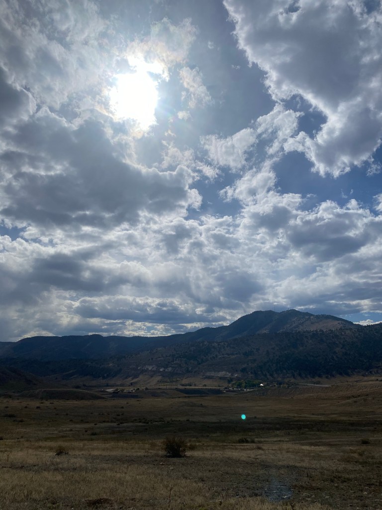
Denver is known for an abundance of clear, sunny days (#300DaysOfSunshine) but on this particular October afternoon, there was a bit of cloud cover. It definitely gave me some reprieve from the sun and made the hike a little more comfortable.
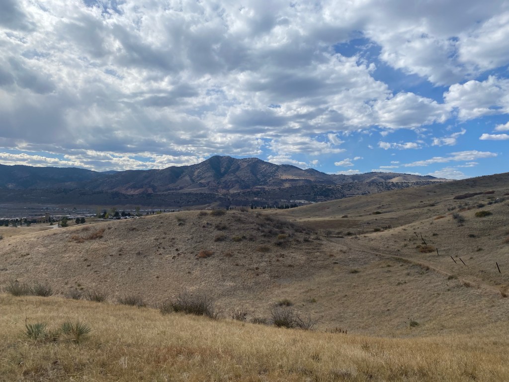
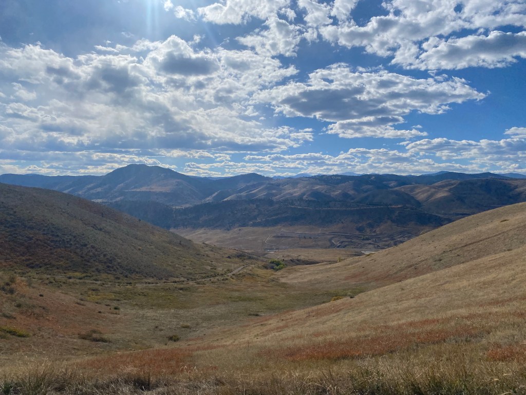
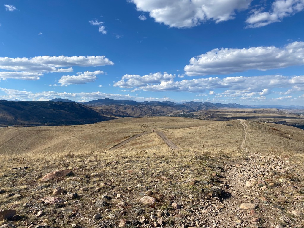
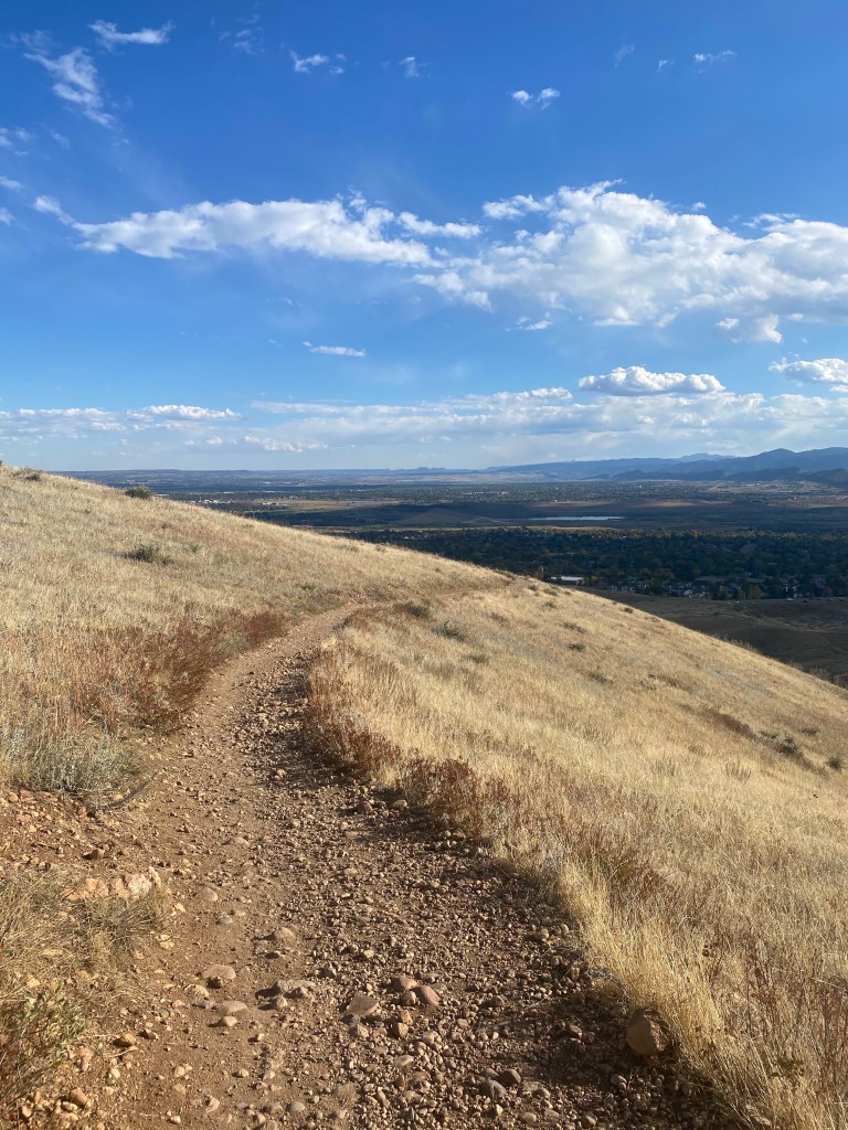
Layers: the rolling hills of William Frederick Hayden Park layered ahead of front range mountains.
The mountains seem to stretch South (left) forever from this viewpoint.
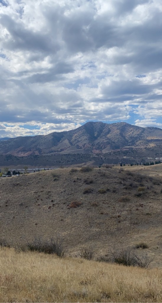
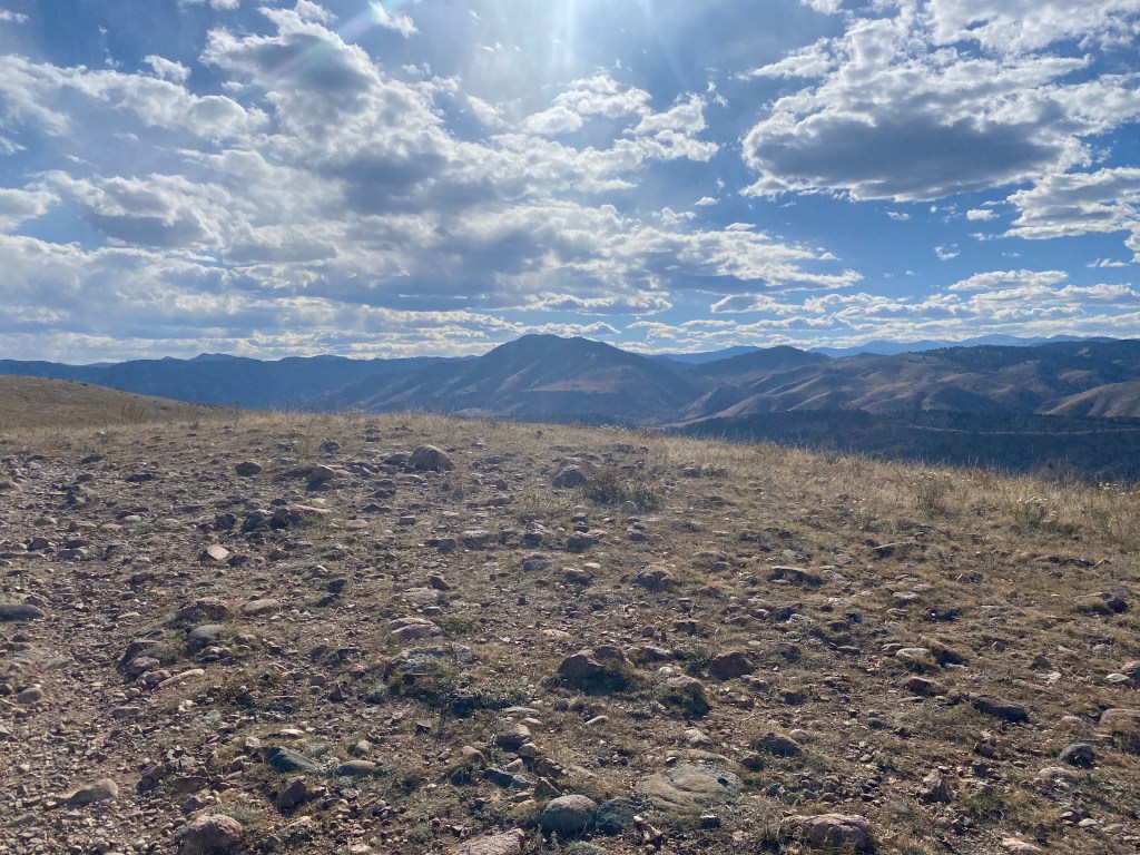
Some mountains start to draw pretty close: I believe this is Mount Morrison, from what the map would imply.
Zoomed out shot gets tons of mountains in range, with even more visible by being there in person and turning your head.
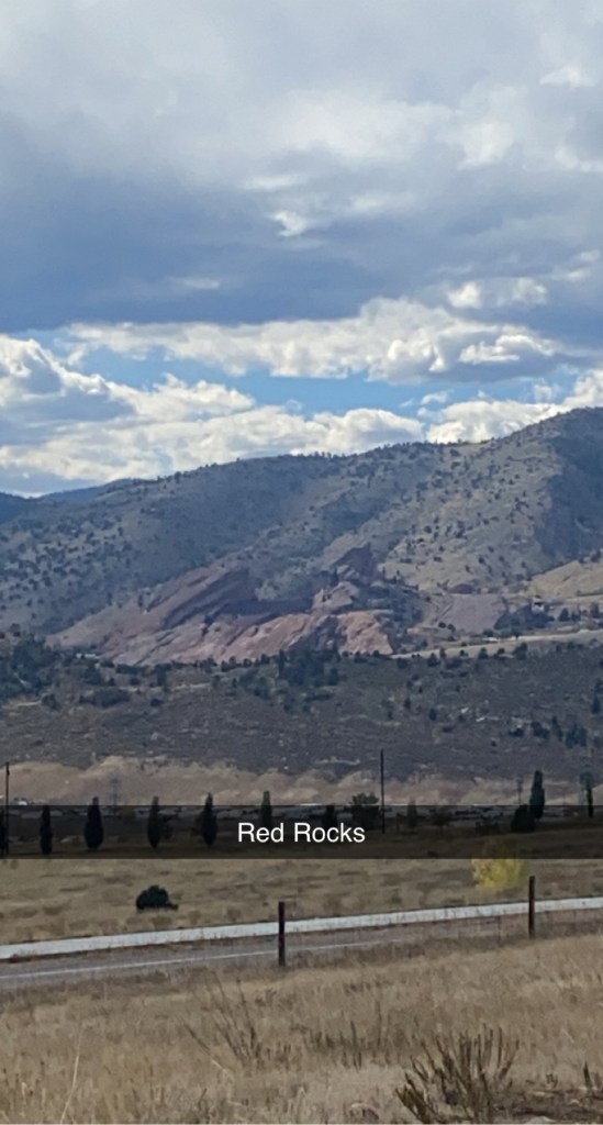
Again, what I believe to be Mount Morrison, with Red Rocks Amphitheater visible slightly off-right-of-center of the picture.
A zoomed in Snapchat picture of what I, again, believe to be Red Rocks Amphitheater.
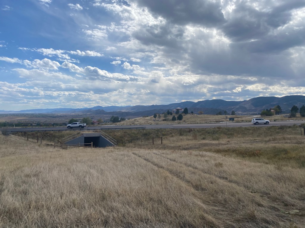
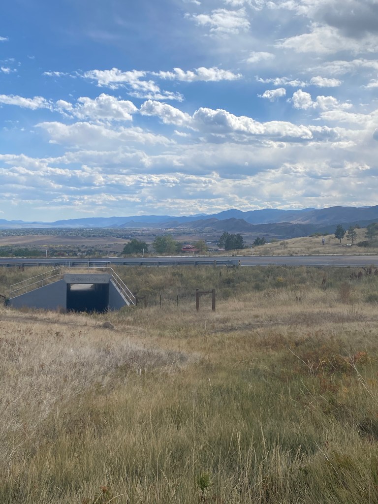
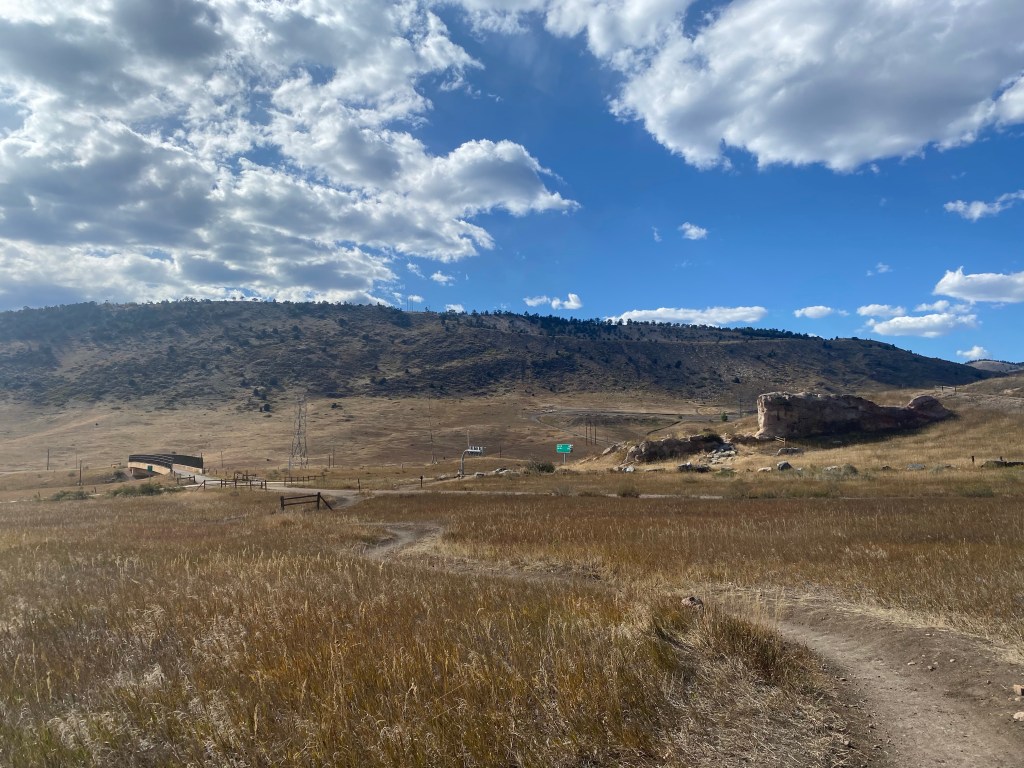
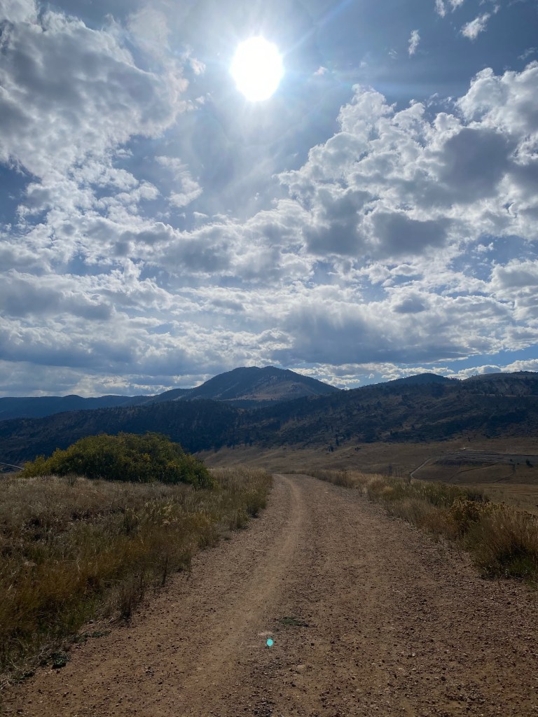
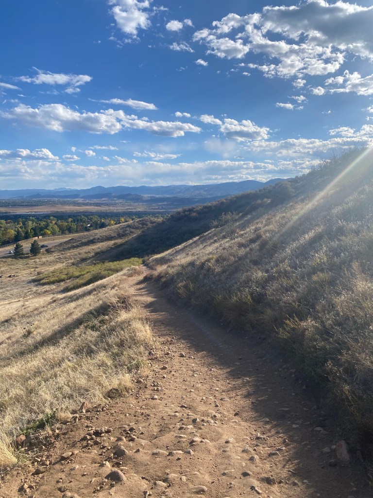
The trail dipped back down to C-470 street level, its lowest point before finally beginning a Green Mountain ascent.
The trail spurred to the right and underneath the highway, though it was given no named designation. It seemed to be more of a connecting route for bikes, with a parking lot and bike repair station located not too far down the path according my Strava map.
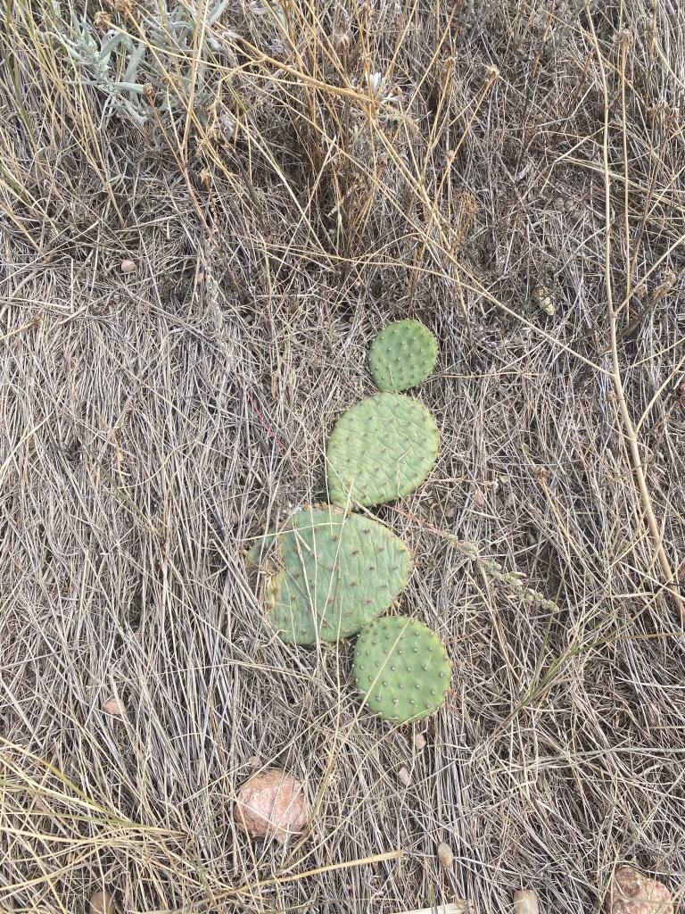
A small cactus-type plant with flat, disc shaped parts.
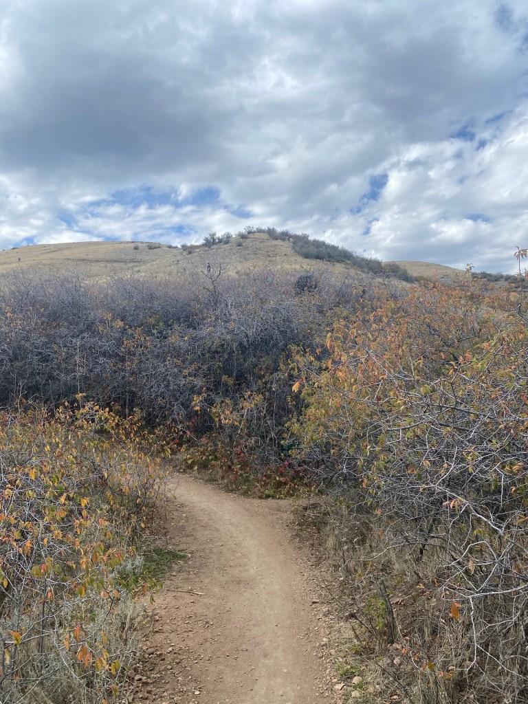
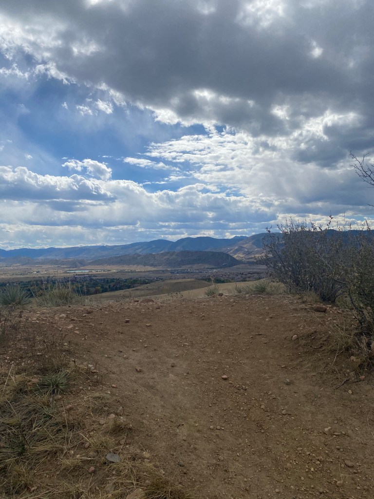
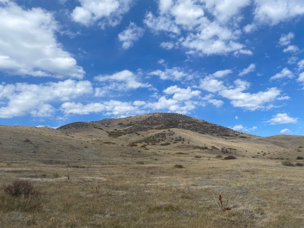
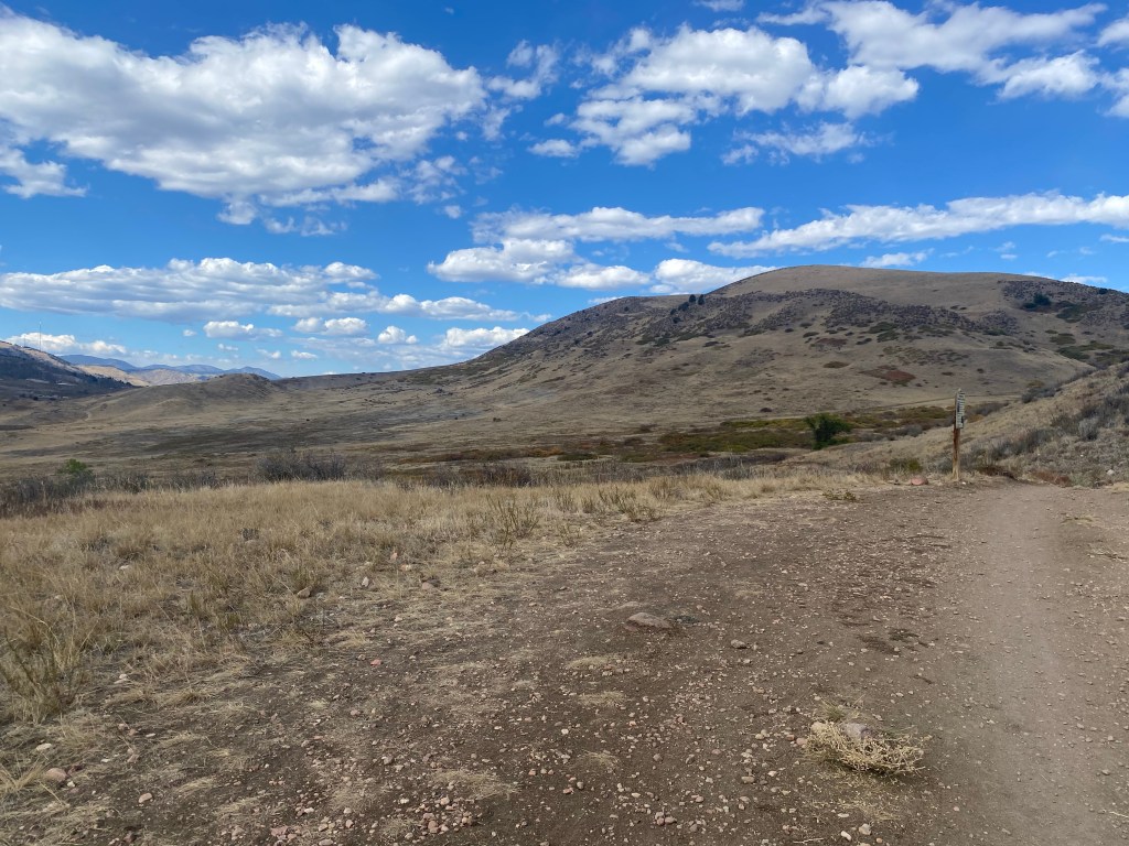
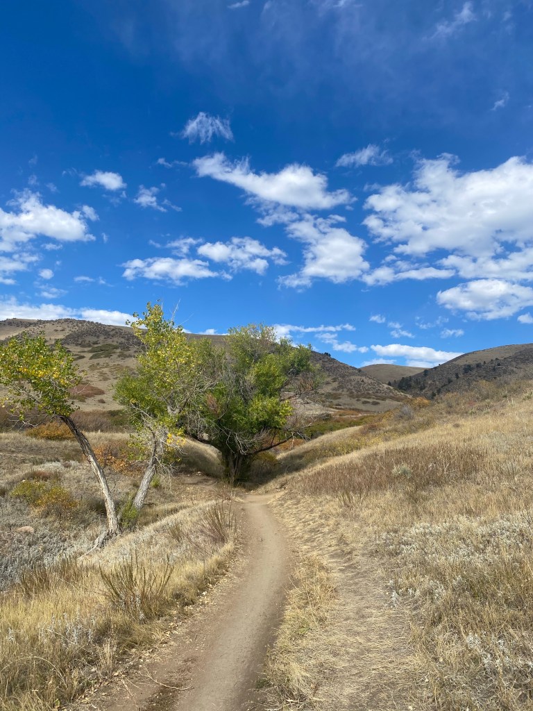
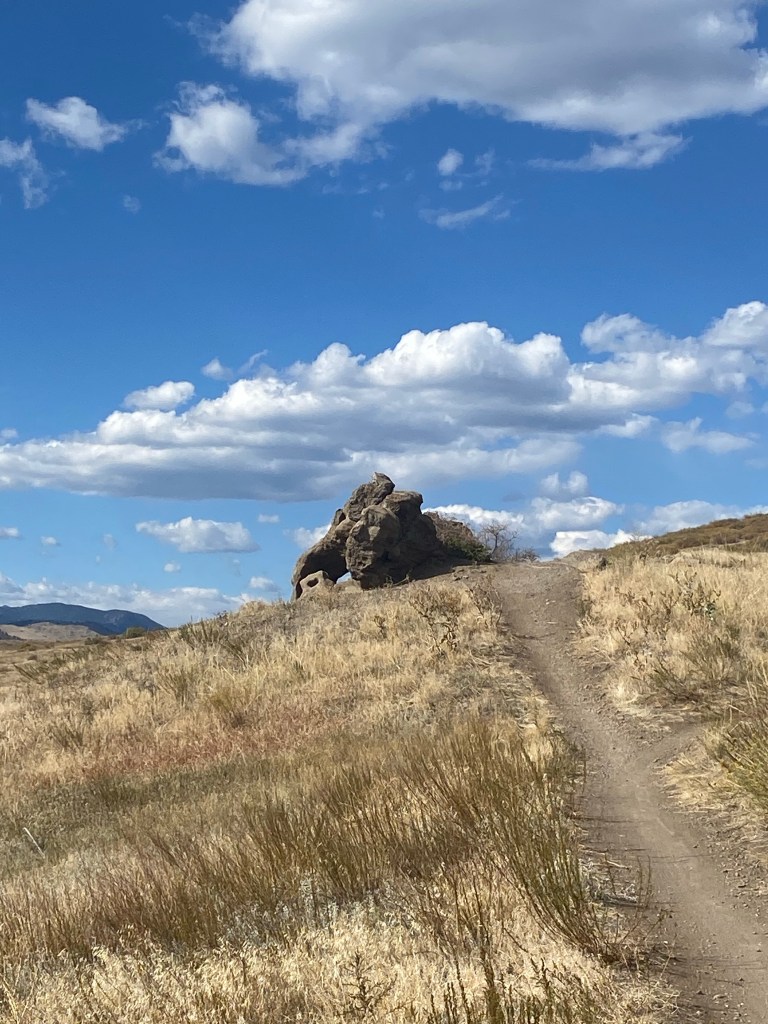
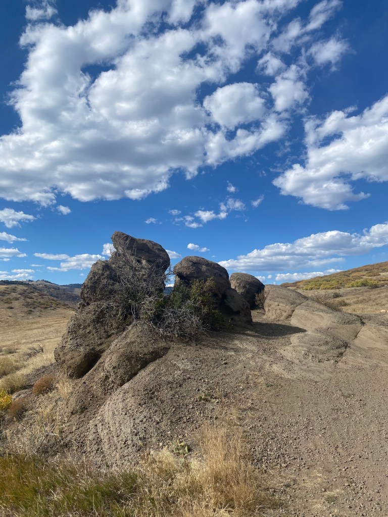
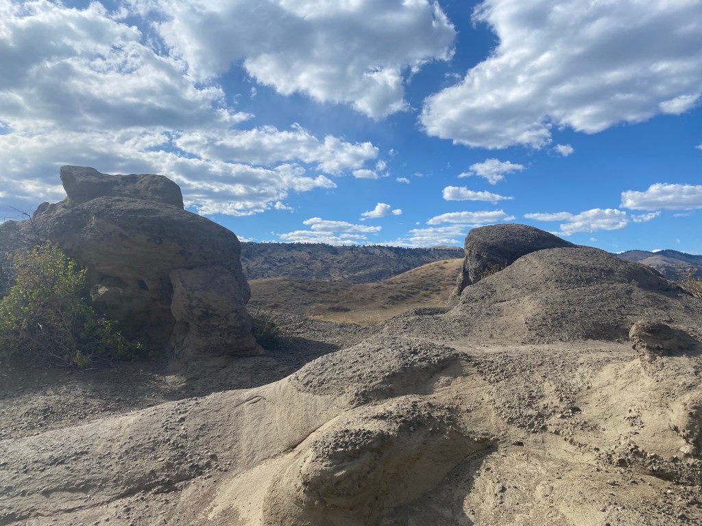
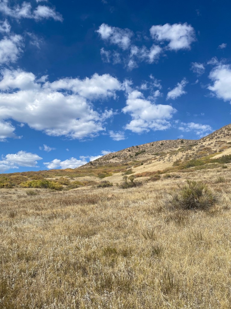
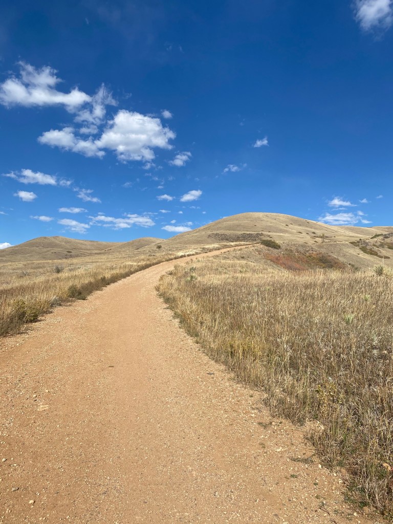
From here on I’ll let the pictures mostly speak for themselves: there’s only so much I can put in to words about these beautiful sweeping hills on this partly cloudy Fall afternoon.
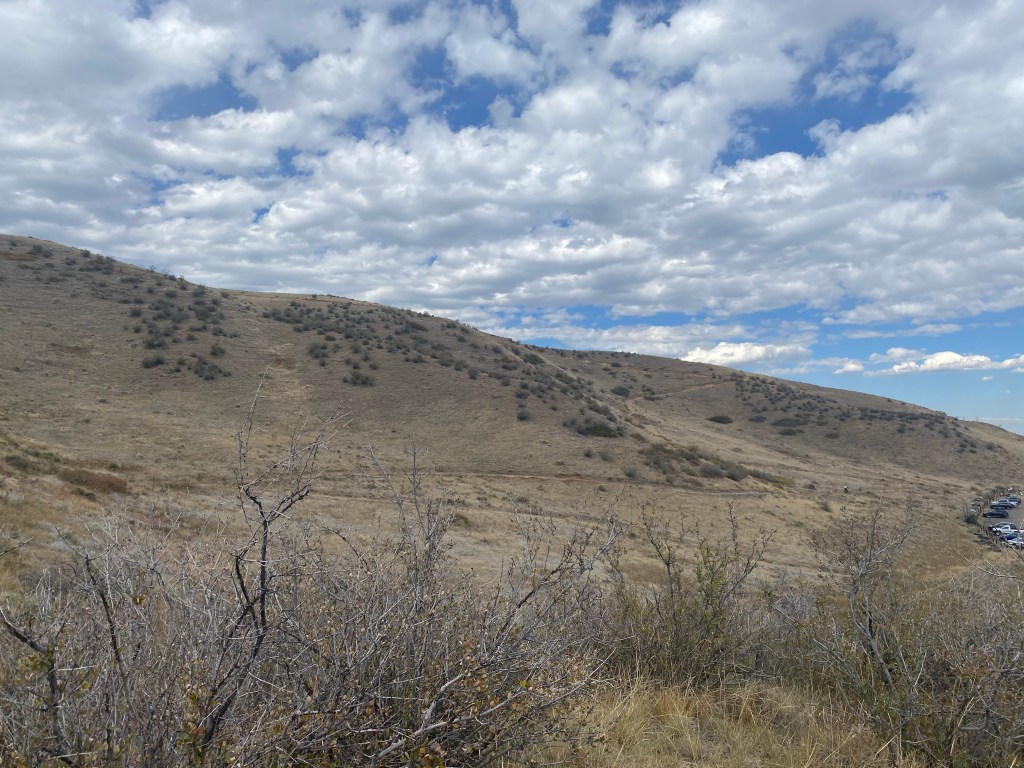
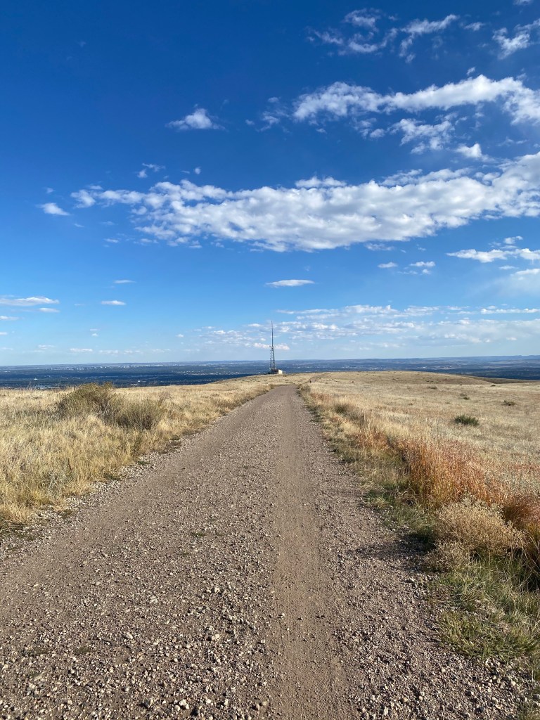
The hike had some up-and-down up to this point, but it was about to get real, as I prepared to summit Green Mountain from the West side.
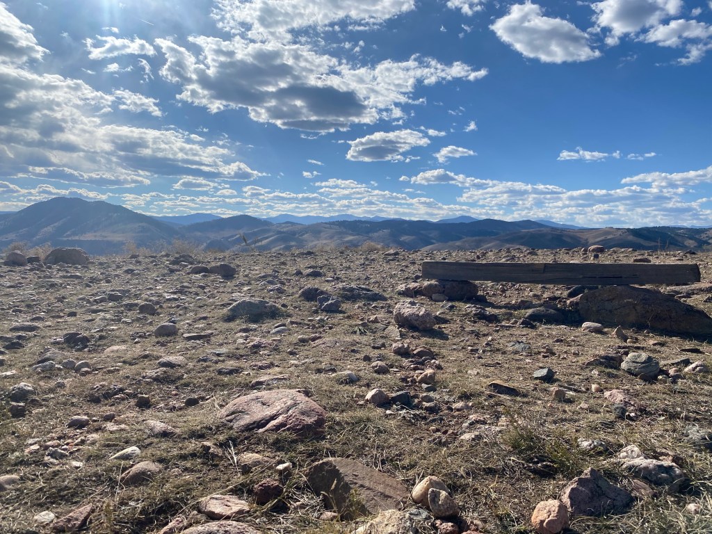
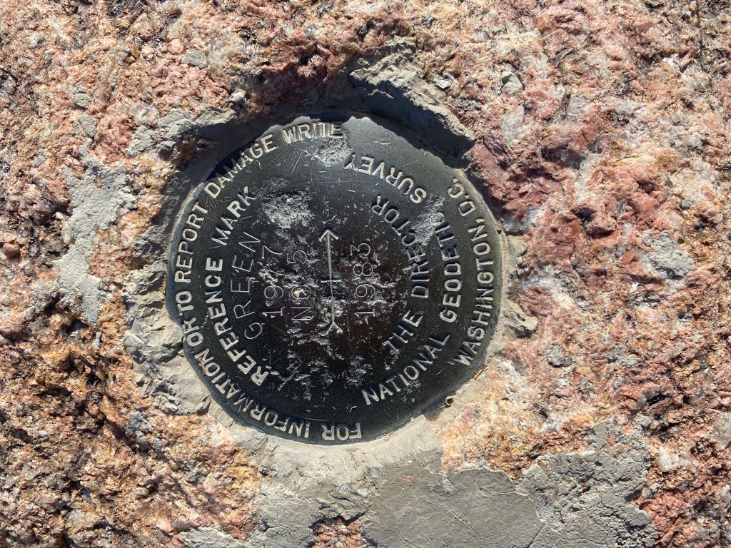
The summit area featured flat stretches like this one.
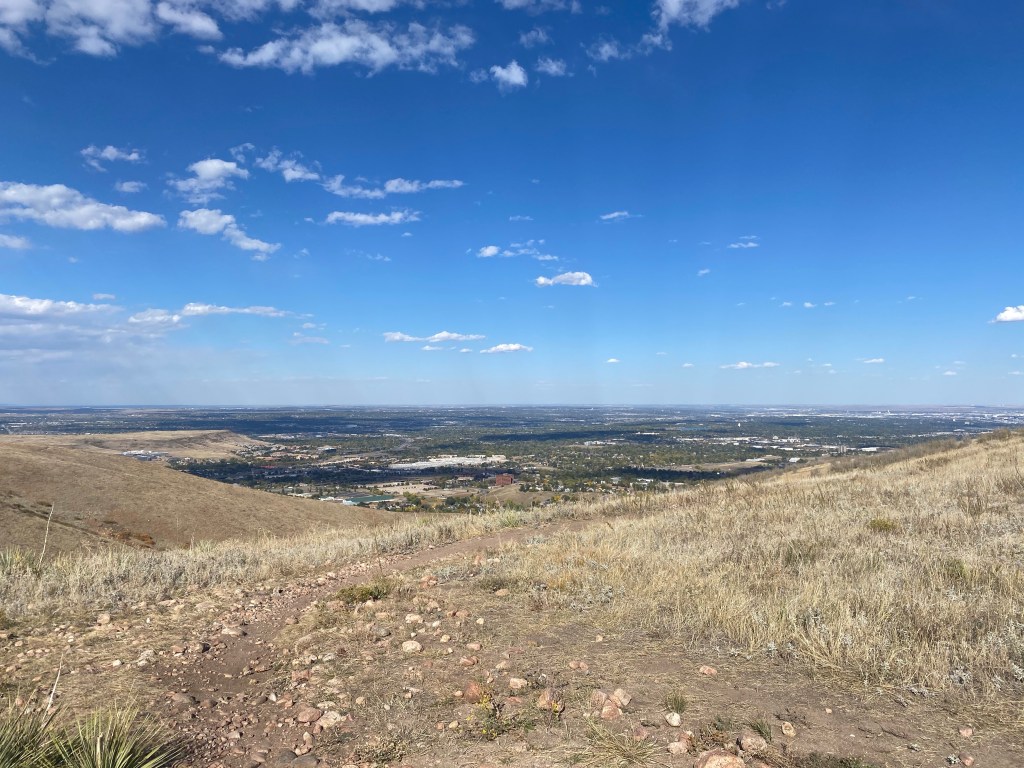
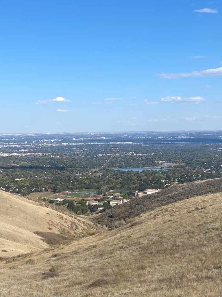
Denver visible again from atop Green Mountain.
A final scenic shot just a moment before returning to the parking lot.