Colorado
Colorado Hikes: Anemone Loop Trail in Boulder
On a record-hot December 6 morning (probably a bad thing in the big picture, but a good thing in terms of squeezing in some late-season hikes) I headed up to […]
 Sakmann News, Entertainment and Sports
SNES Blog Network
On a record-hot December 6 morning (probably a bad thing in the big picture, but a good thing in terms of squeezing in some late-season hikes) I headed up to […]
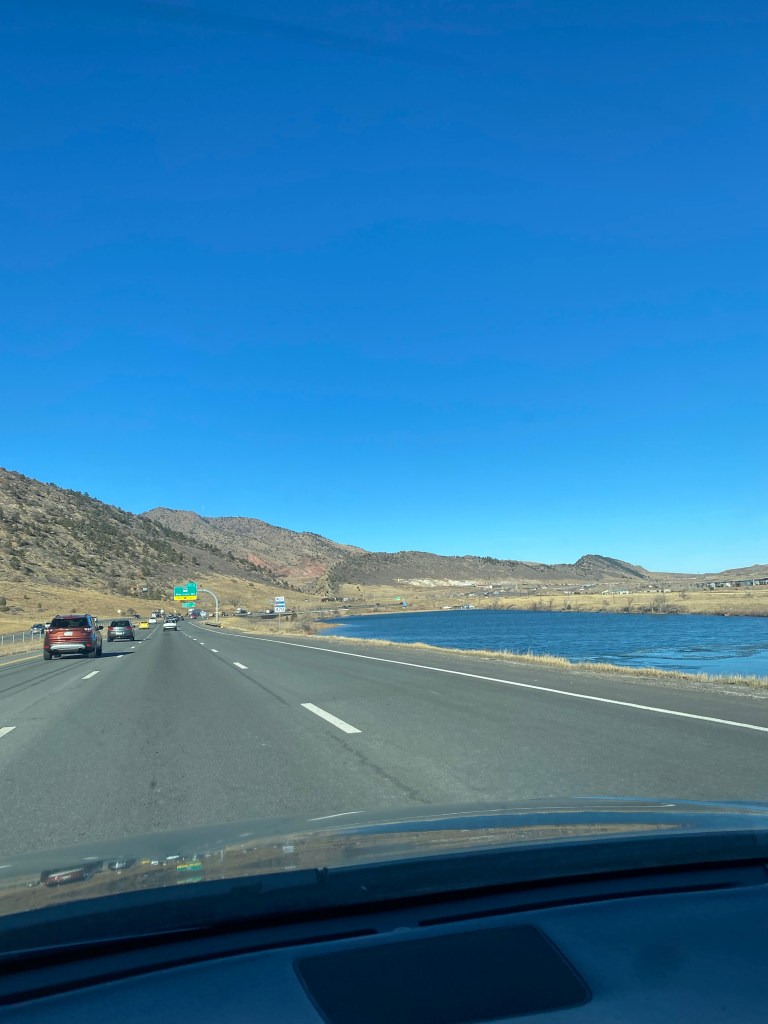
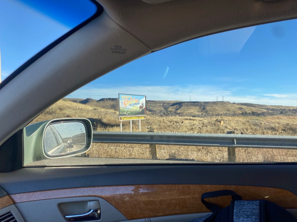
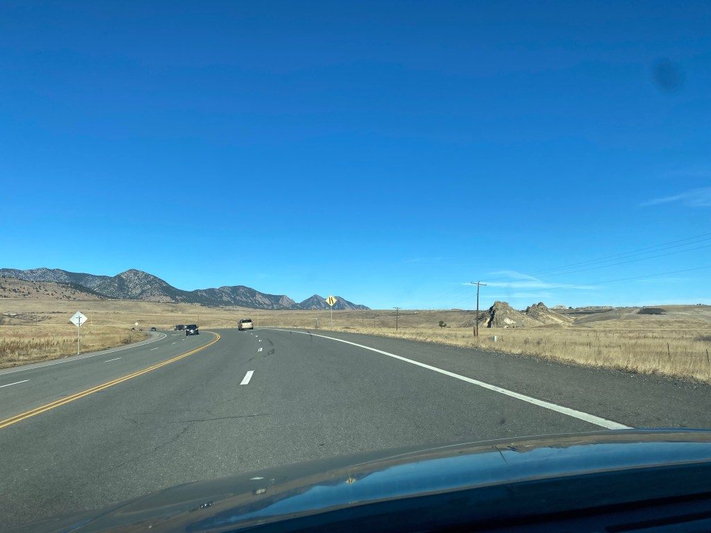
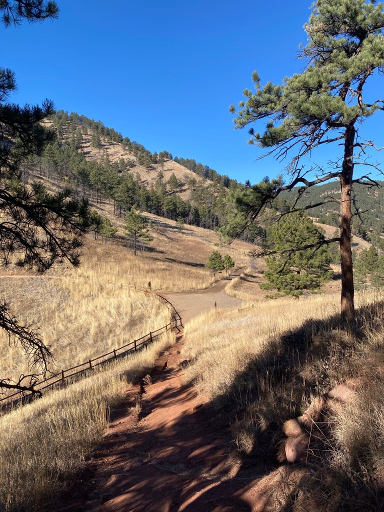
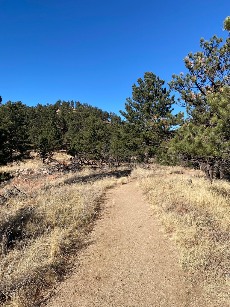
On a record-hot December 6 morning (probably a bad thing in the big picture, but a good thing in terms of squeezing in some late-season hikes) I headed up to Boulder, Colorado for some hiking. I was looking for a five-to-six mile hike, killing two-to-three hours of time.
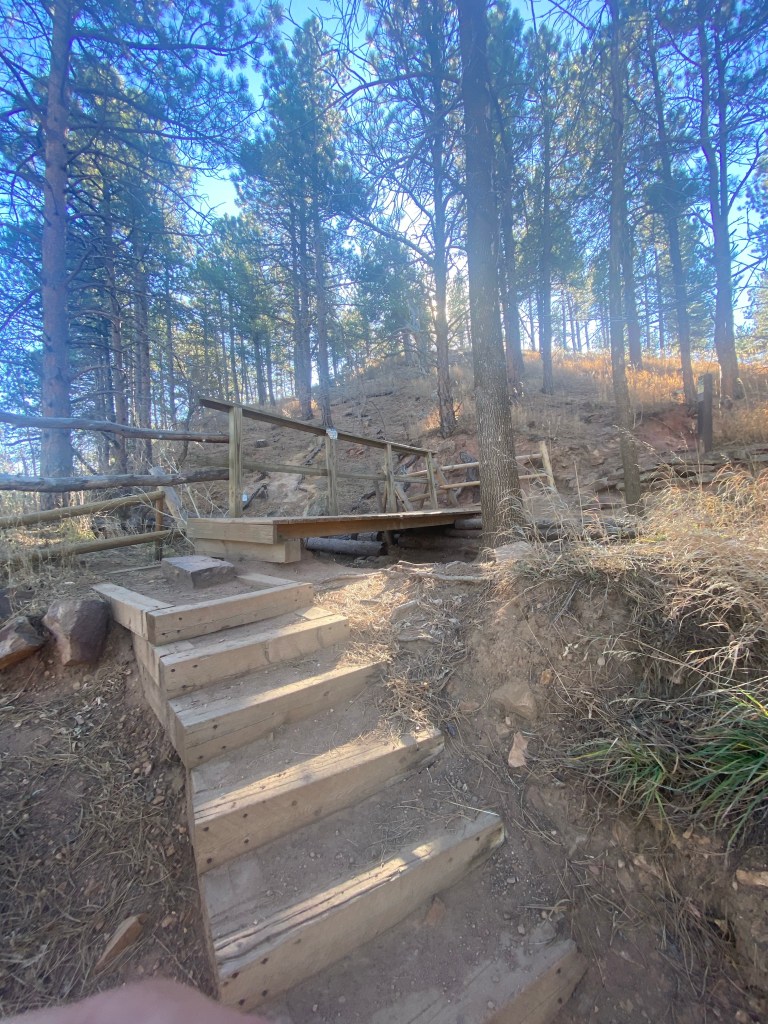
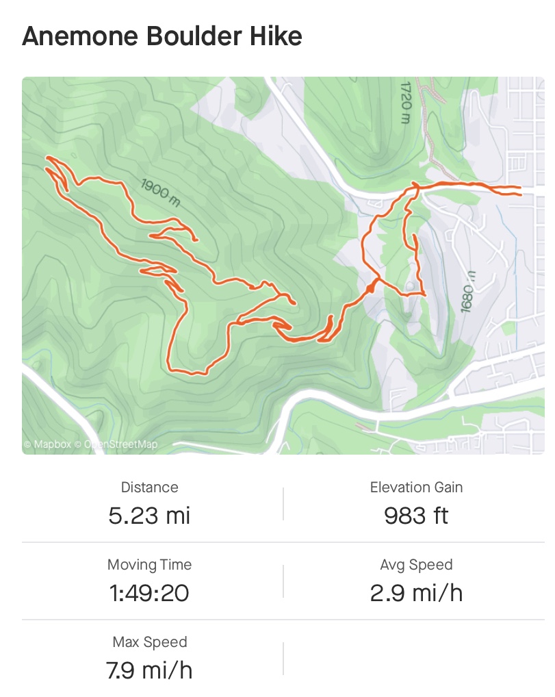
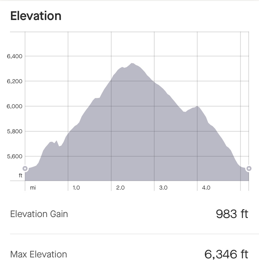
I set my GPS for the Mount Sanitas Trail, which included an associated parking lot. However, after learning that that trail was a steady incline, moderately challenging hike, I opted on this particular day to explore some other trails with less drastic elevation change. My hike ended with just under 1,000 feet of elevation gain over 5.23 miles.
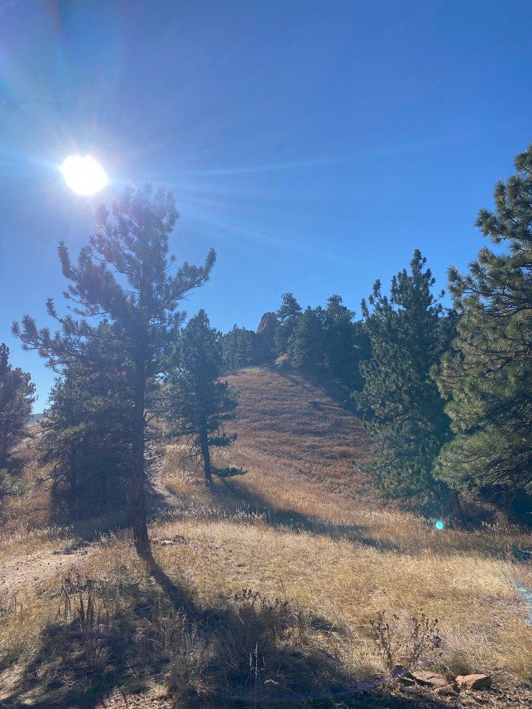
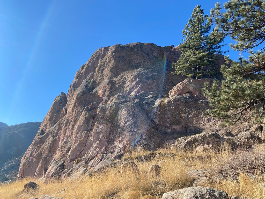
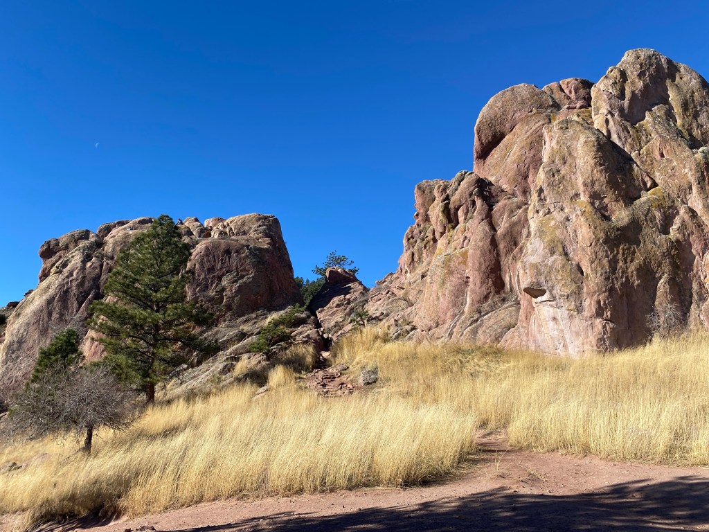
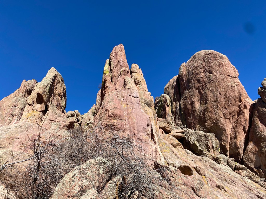
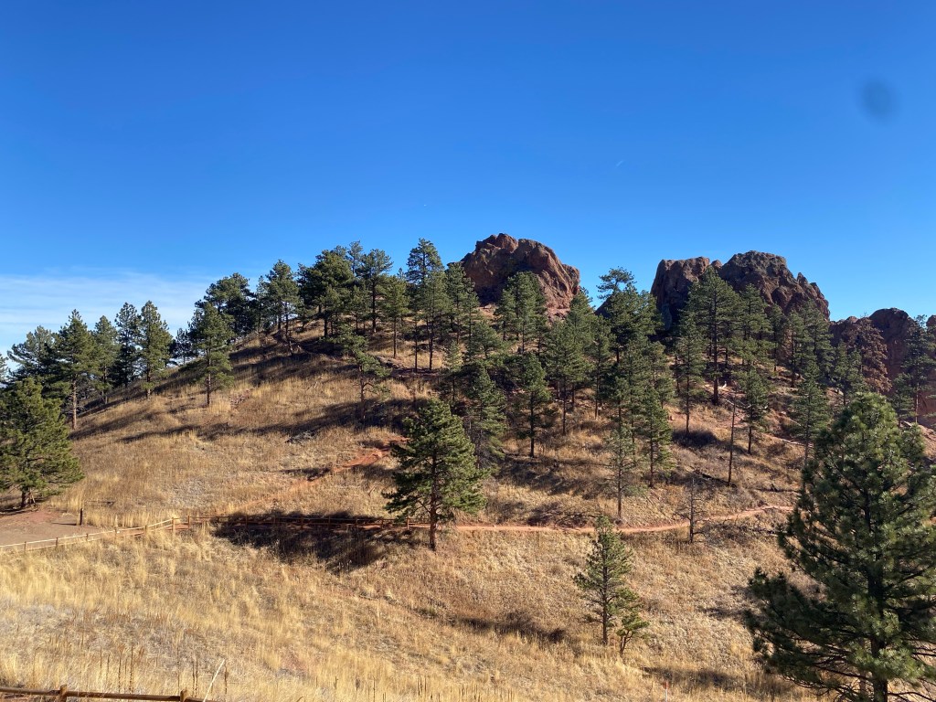
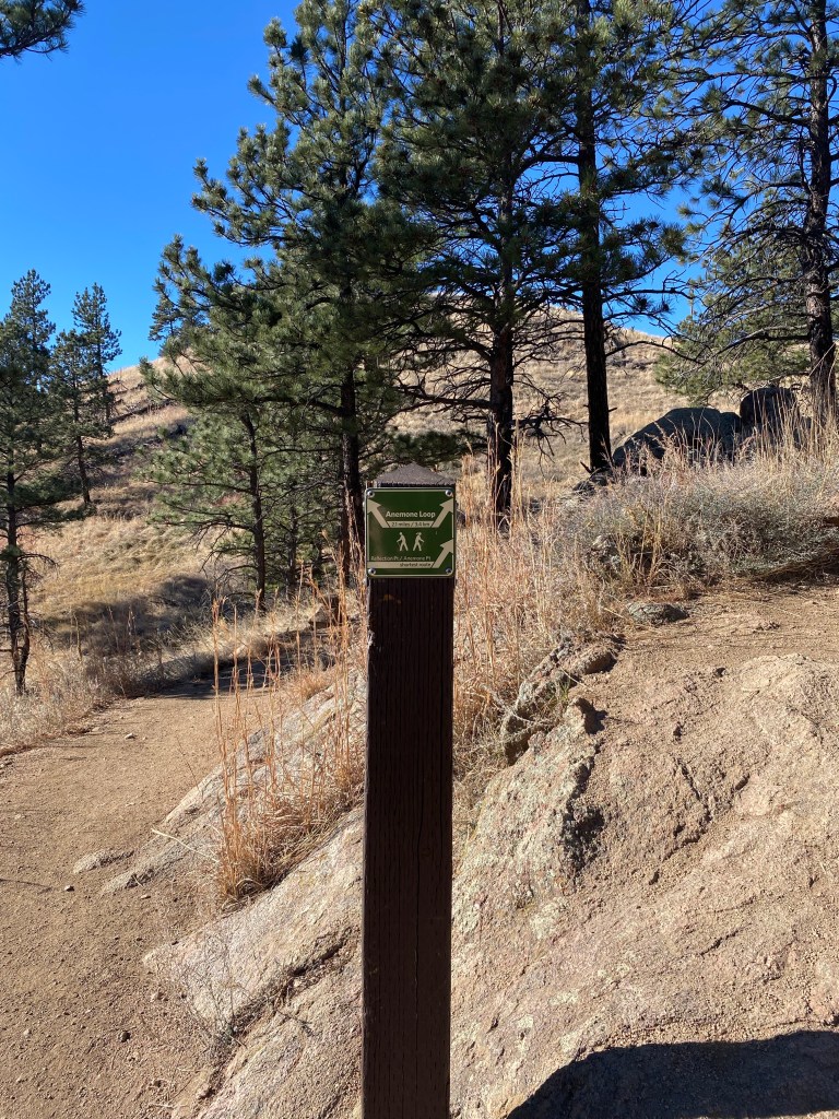
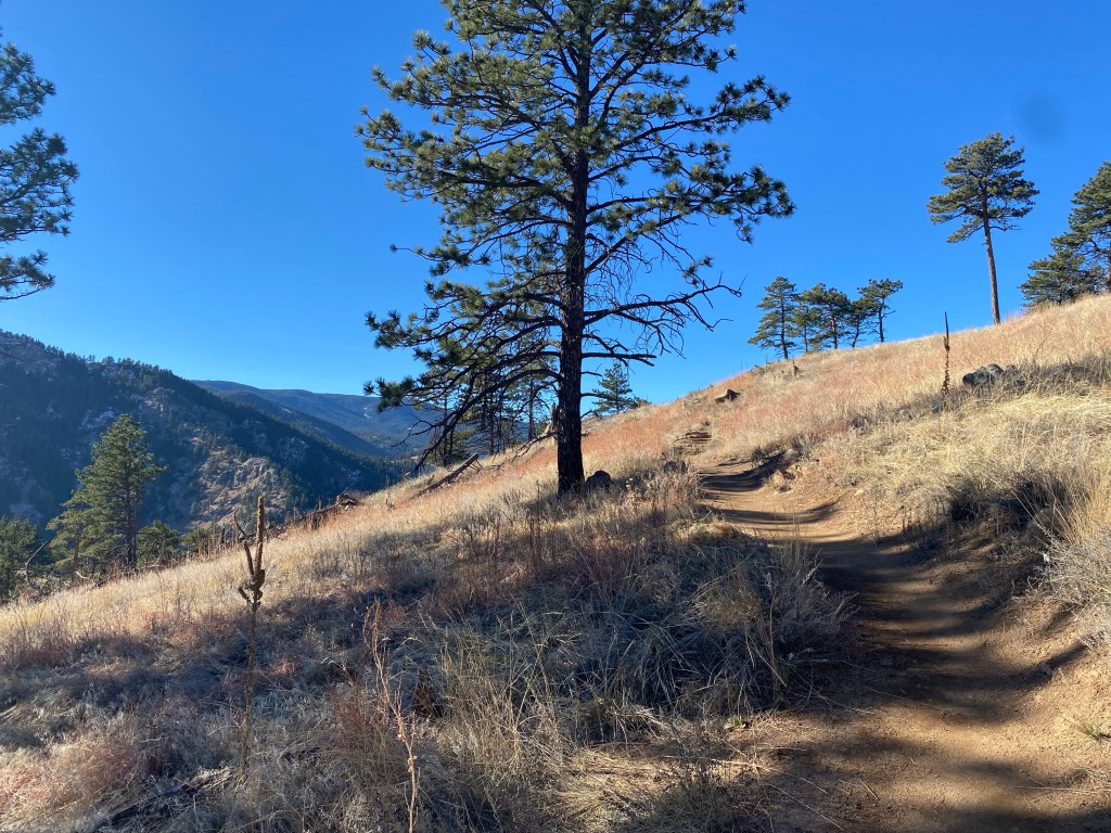
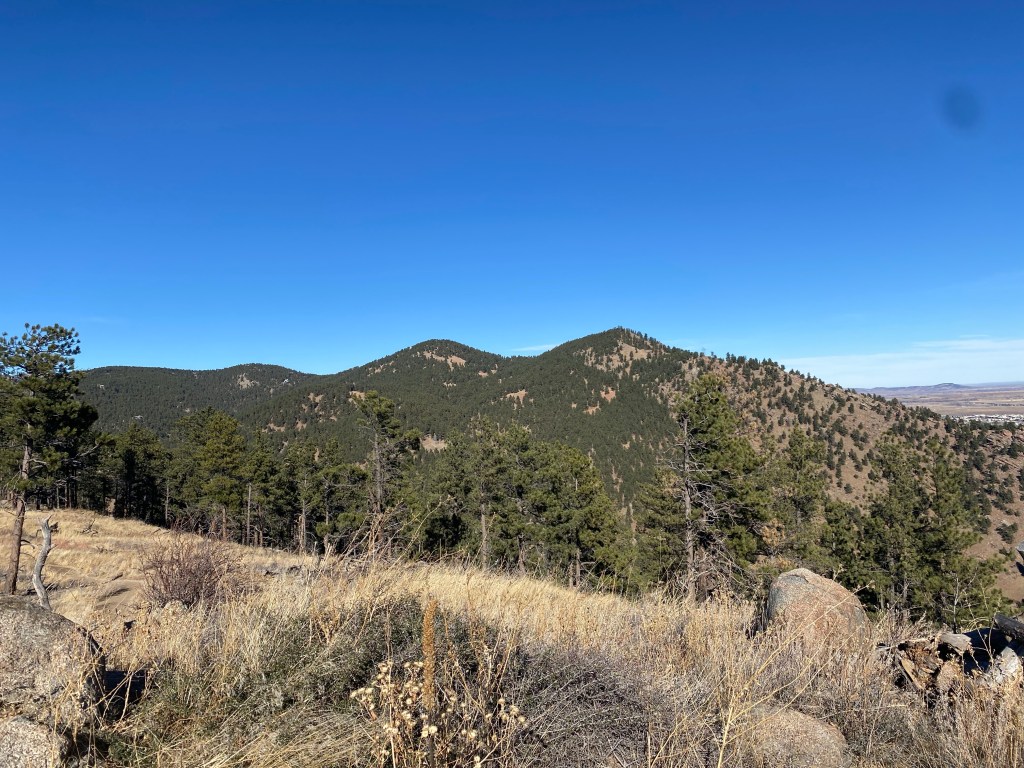
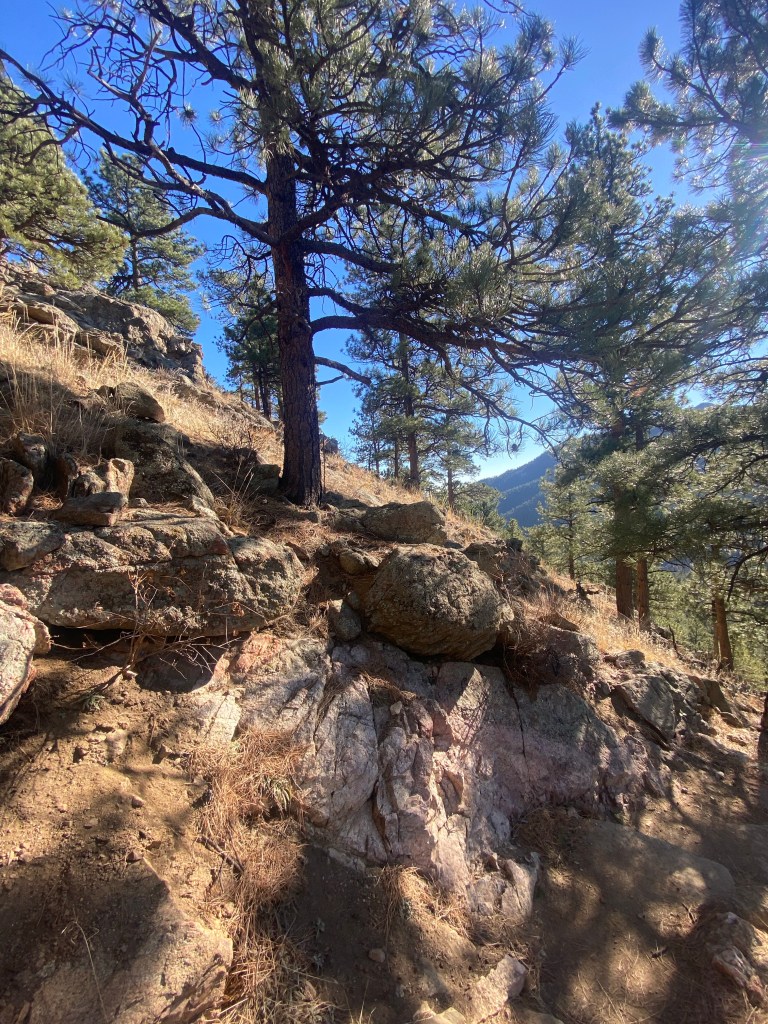
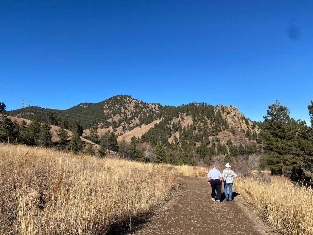
This led me to Anemone Loop Trail (for the most part, also included the Red Rocks Trail.) You probably remember the word anemone from science class, or most likely Finding Nemo. While I’m fairly certain the rock formations seen on this trail aren’t actually classified as anemones, I can certainly see the resemblance and why they would be called that.
The trail led to one distinct anemone-like rock structure, and while my AllTrails marked one or two other points, I had a hard time identifying them: unless they were just viewpoints of the same anemone.
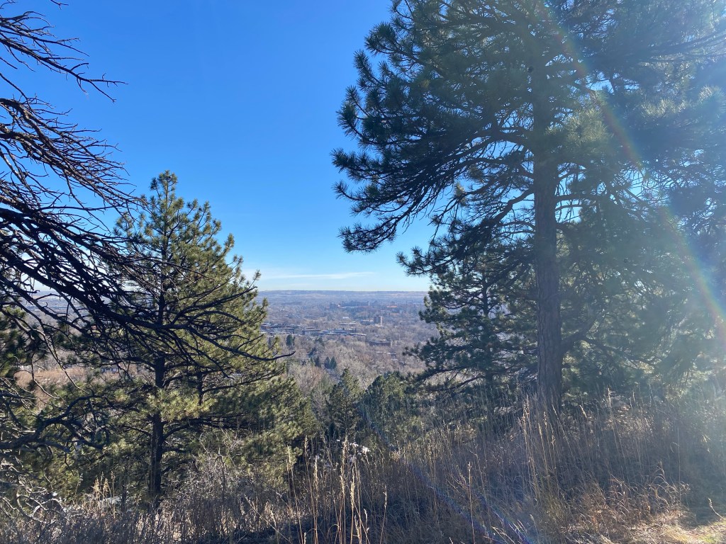
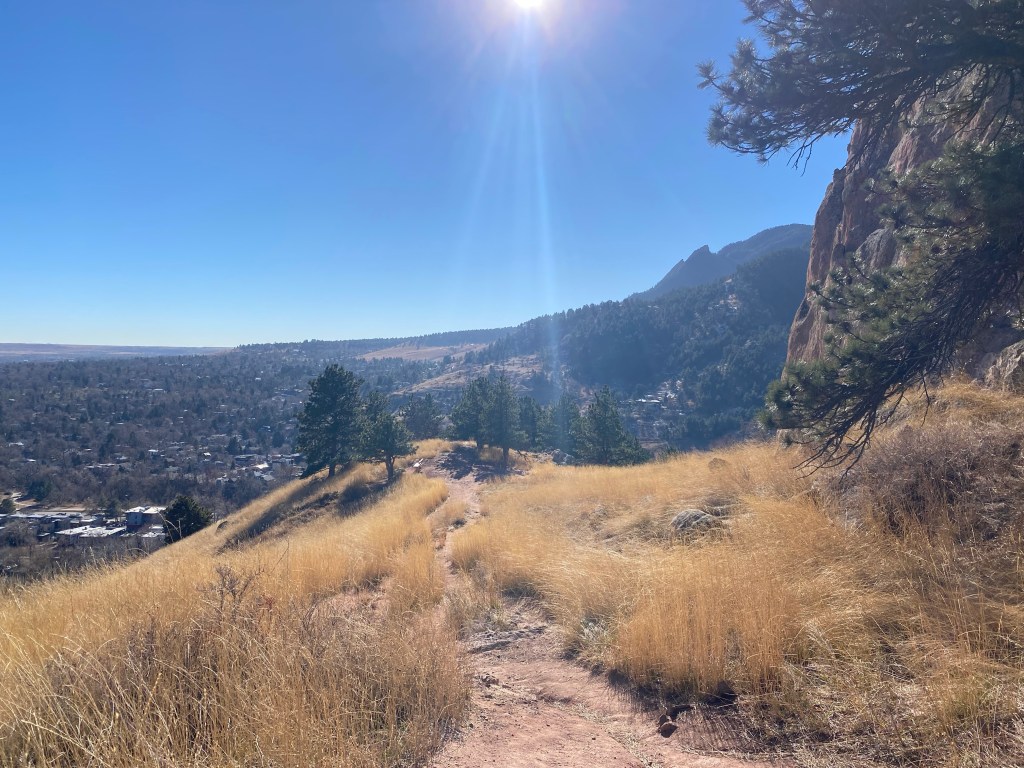
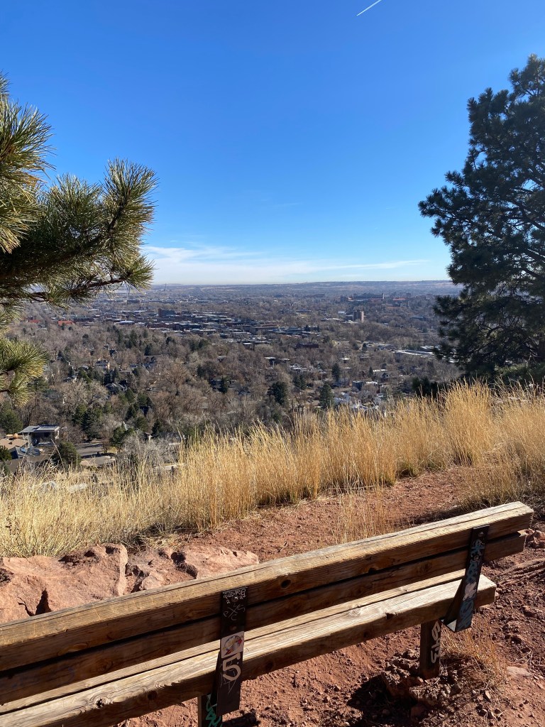
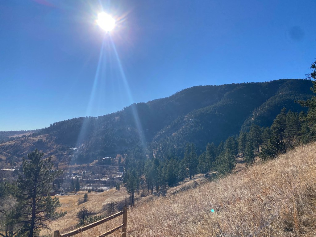
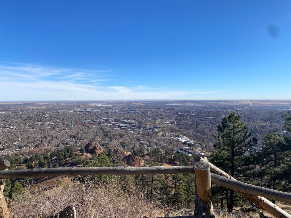
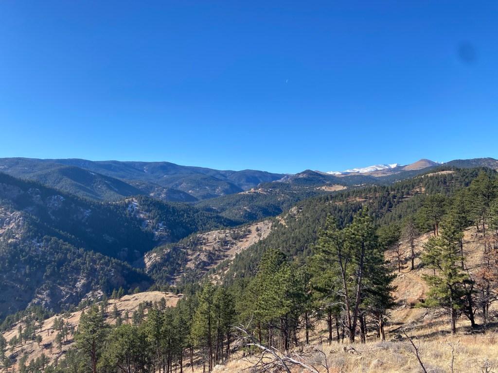
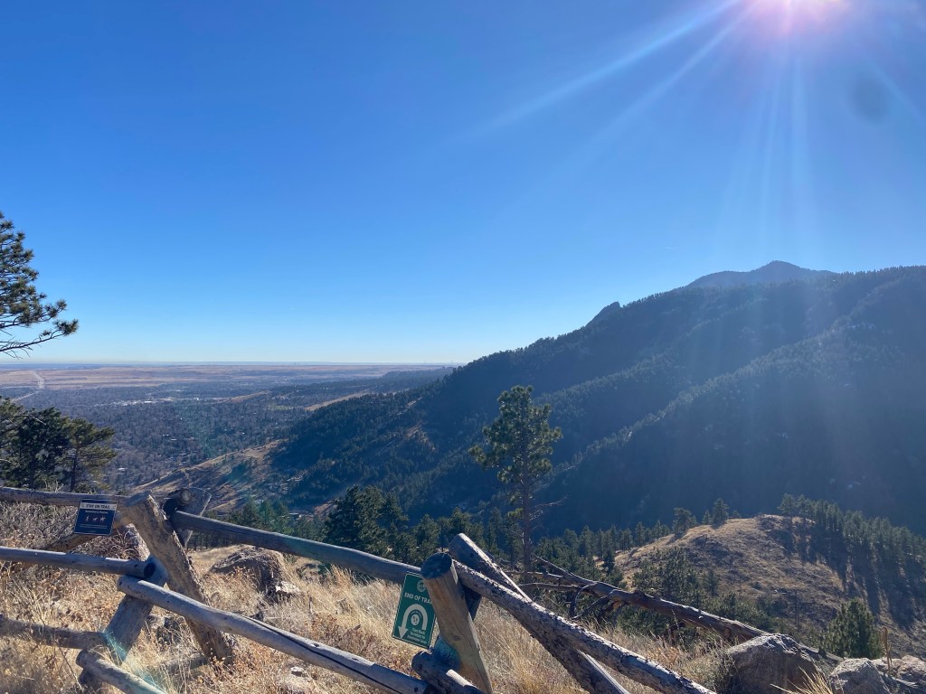
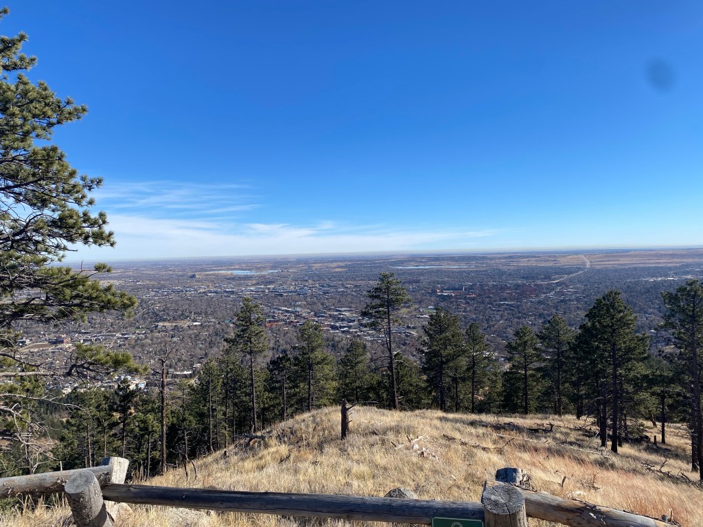
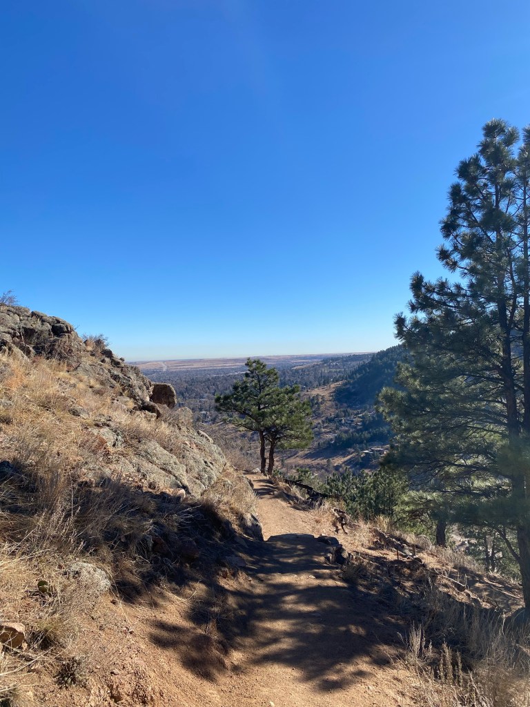
This trail system also led to Reflection Point, an aptly named clearing that offers magnificent mountain views as well as sprawling views of Boulder, with Folsom Field and the University of Colorado Boulder visible in the distance.
This hike wasn’t particularly straining, especially once the majority of the elevation was gained in the first half of the hike.
It’s worth noting: the parking lot was completely full, and the neighborhood streets down the road filled up very quickly as well. I was able to snag a spot, but if you’re coming here, make sure to park legally and check for three-hour parking/residential parking-only signs. If the area was this crowded on a Wednesday morning in December, I can only imagine how swarmed it could become on a nice day in the Summer.
The lot in question (suitable for GPS coordinates) was classified as the Centennial Trailhead lot on Sunshine Canyon Drive. In addition to my hike and Mount Sanitas Trail, there was a Sunshine Canyon Trail: which I would definitely like to come back and check out.
Once again, it was a very nice day: though I left my car with a hoodie and pants on at 11:00am, it quickly warmed up to a high temperature of 64 degrees with a real feel of 71 degrees: six days in to December.
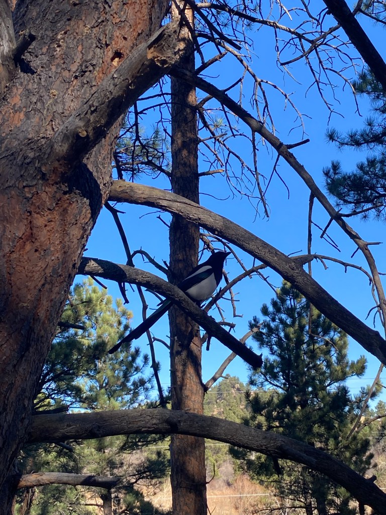
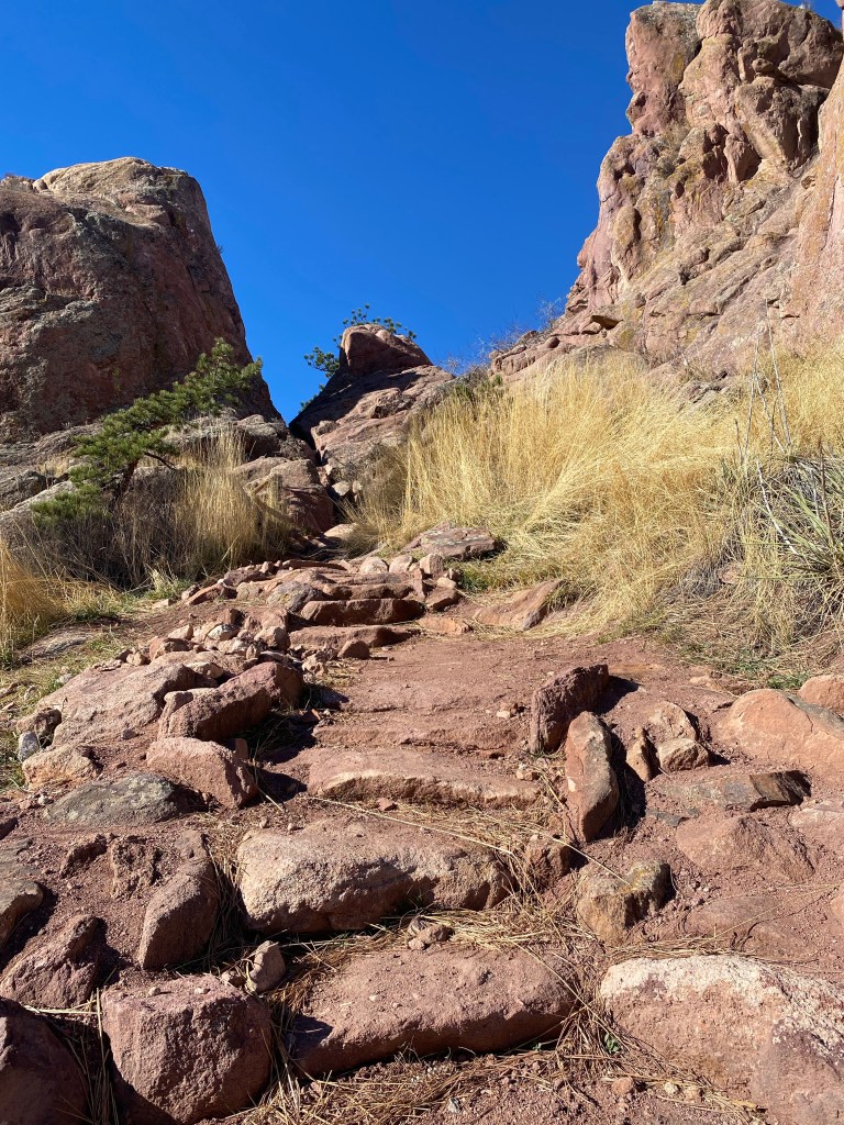
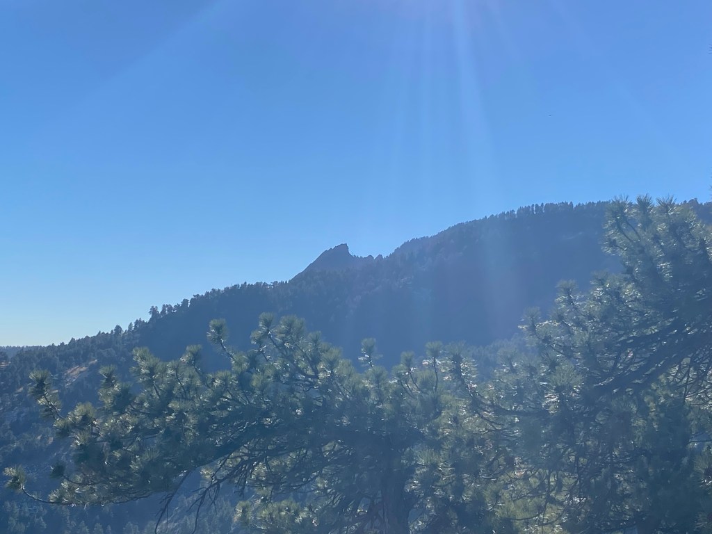
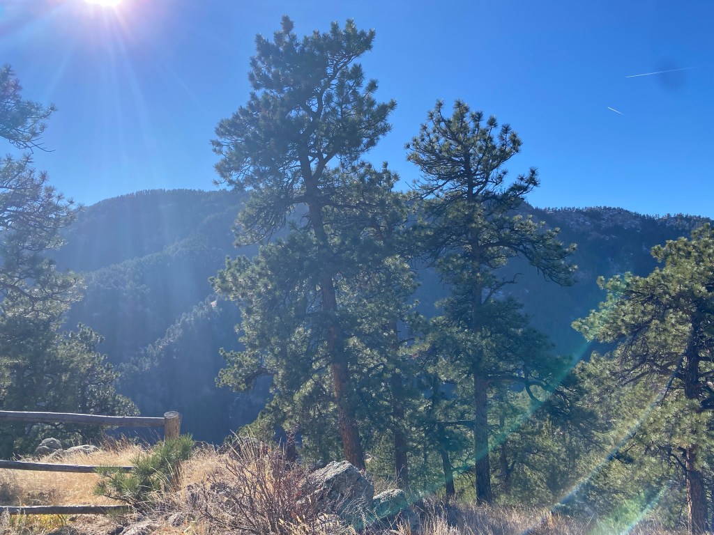
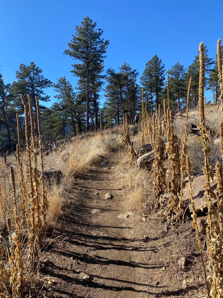
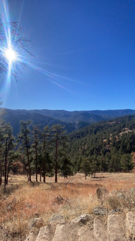
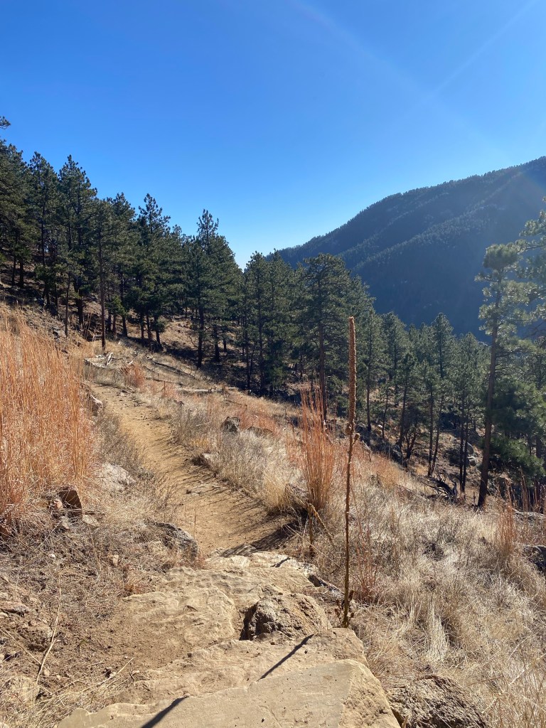
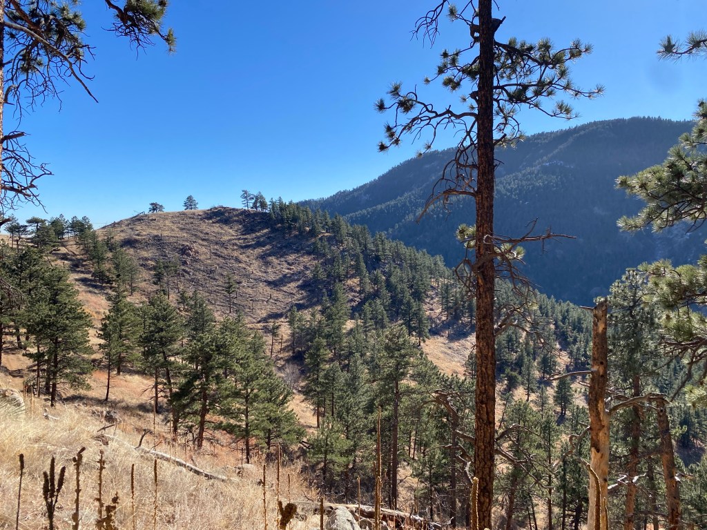
For this hiking phot gallery, I’ll provide pretty minimal commentary and let the pictures do the talking. The map of the hike as well as the elevation summary are at the end: I’m having a tough time deciding if they belong at the beginning or the end, so if you have any input, let me know. Without further ado, here are the pictures from my hike.
Hiked On: December 6, 2023
Distance: 5.23 miles
Elevation Gain: 983 feet
Time: 1 hour, 49 minutes, 20 seconds