I have a habit of expanding upon my initial goal, especially early in a hike or workout if I’m feeling good. This habit can yield good and bad results, but […]
I have a habit of expanding upon my initial goal, especially early in a hike or workout if I’m feeling good. This habit can yield good and bad results, but in the case of my double-peak bag of both Sheep Mountain and Stone Mountain, I couldn’t have been more satisfied.
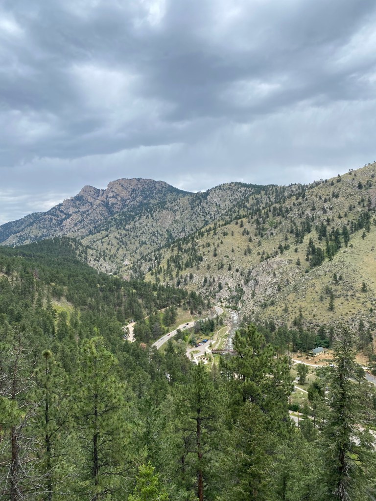
It was a solo adventure-type weekend for me in the midst of August in Colorado, and after camping in Pawnee National Grassland on a Friday night, I headed West towards the mountains near Loveland, well North of my usual stomping grounds for Front Range/foothill hikes near the Denver area.
The original AllTrails route called for a 9.0 mile out-and-back with nearly 3,000 feet of elevation gain, definitely no walk in the park. But I saw the opportunity early to make this hike a bit longer and also summit the nearby Stone Mountain. This decision didn’t require an especially strong commitment, as I could always just start back towards the parking lot after the Sheep Mountain summit.
But given the amazing views at Stone Mountain’s summit that were largely absent at the “oh, this is the summit?” peak of the taller Sheep Mountain, I would highly recommend going the extra mile (figuratively speaking of course, the actual difference was about 2.3 miles) and seeing what Stone Mountain has to offer.
I started a bit later in the day than I normally like to for a hike of this magnitude (12:00 PM), but there was still plenty of August sunlight to complete this 11.38 mile, 5-hour hike.
I’ll provide some commentary and narrative, but I’ll also let the pictures do the majority of the talking.
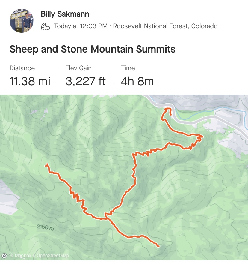
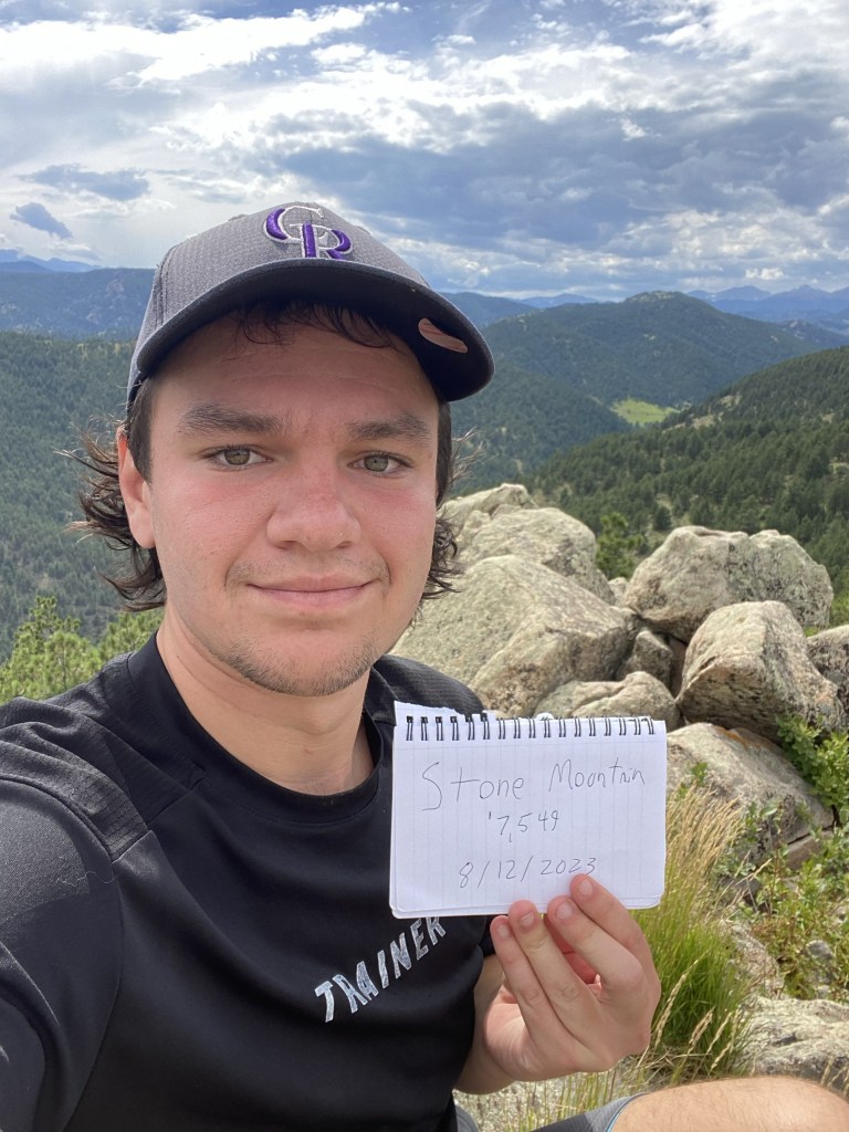
Sheep Mountain and Stone Mountain, at Roosevelt National Forest near Loveland, Colorado
Hiked On: August 12, 2023
Distance: 11.38 miles
Elevation Gain: 3,227 feet
Time: 5 hours, 4 minutes, 7 seconds
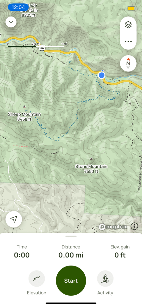
From the parking lot on the top of the picture, the route ascends quickly and heads South. At the fork, Sheep Mountain is North-West (left, from the perspective of this picture) and Stone Mountain is South-East (right.) So from the North, I traveled South to the fork, then up Sheep Mountain and straight to Stone Mountain, then back to the fork and finally back to the parking lot.
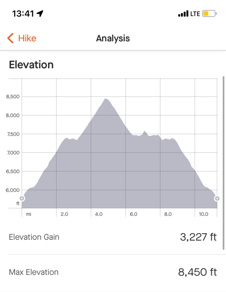
Elevation gain is thrown at you quick on this hike, but this allows for some brief reprieves once you’re up the mountain. From roughly Mile 3 to Mile 5, over 1,000 feet of elevation are gained to summit Sheep Mountain. Stone Mountain, on the other hand, requires just a couple hundred feet of elevation gain, if that, after the fork.
Another view of the map of the area. The official trail will take you straight to the top of Sheep Mountain, with no official literature on any signs referencing Stone Mountain,
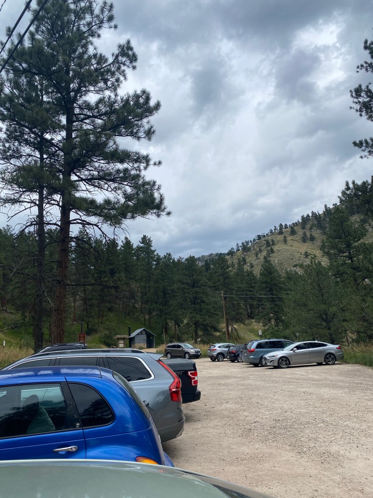
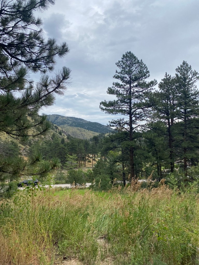
The parking lot was a decent size and offered overflow across the street.
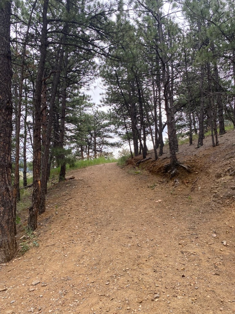
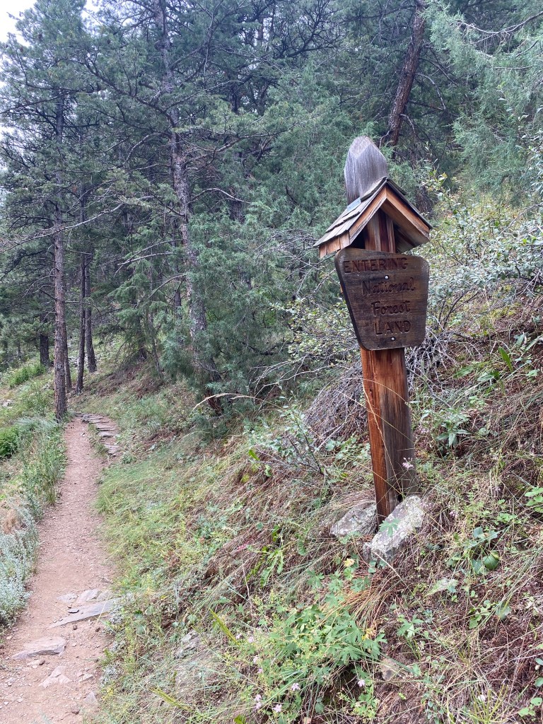
The start of the trail, located ahead and to the right of the vault toilet in the parking lot.
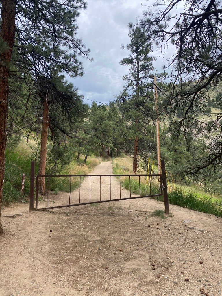
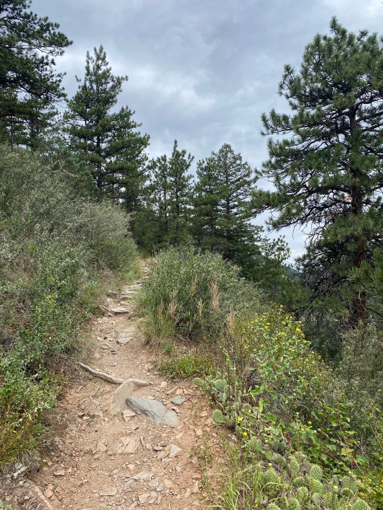
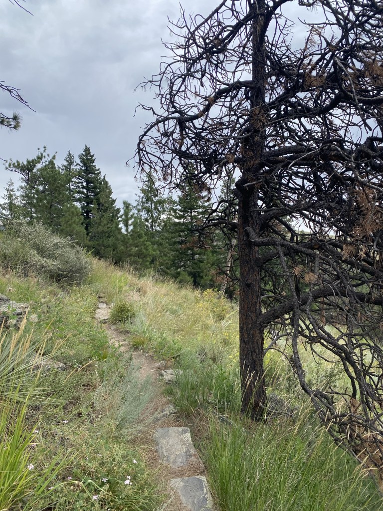
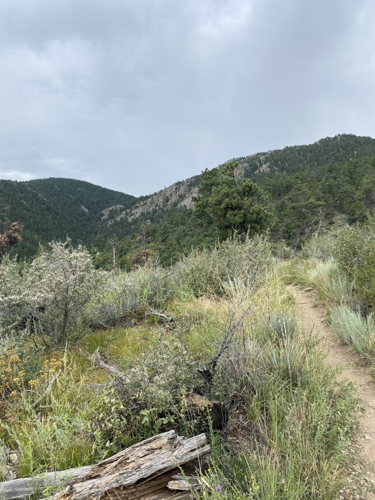
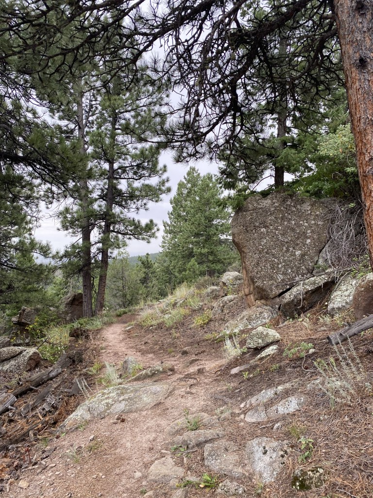
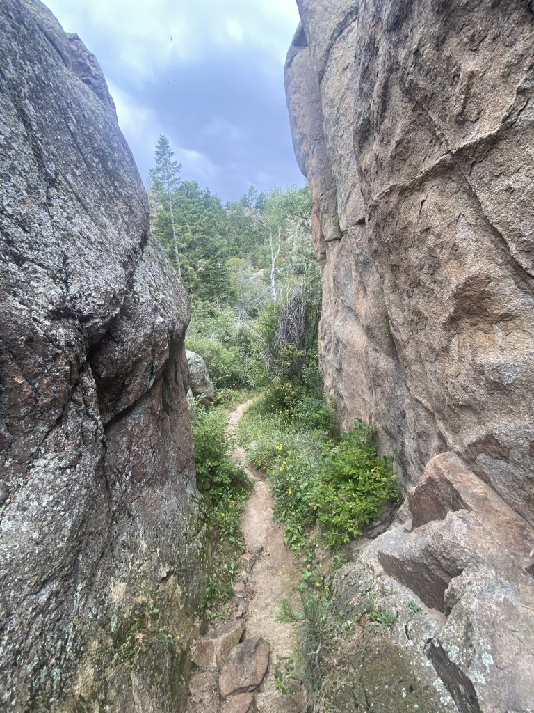
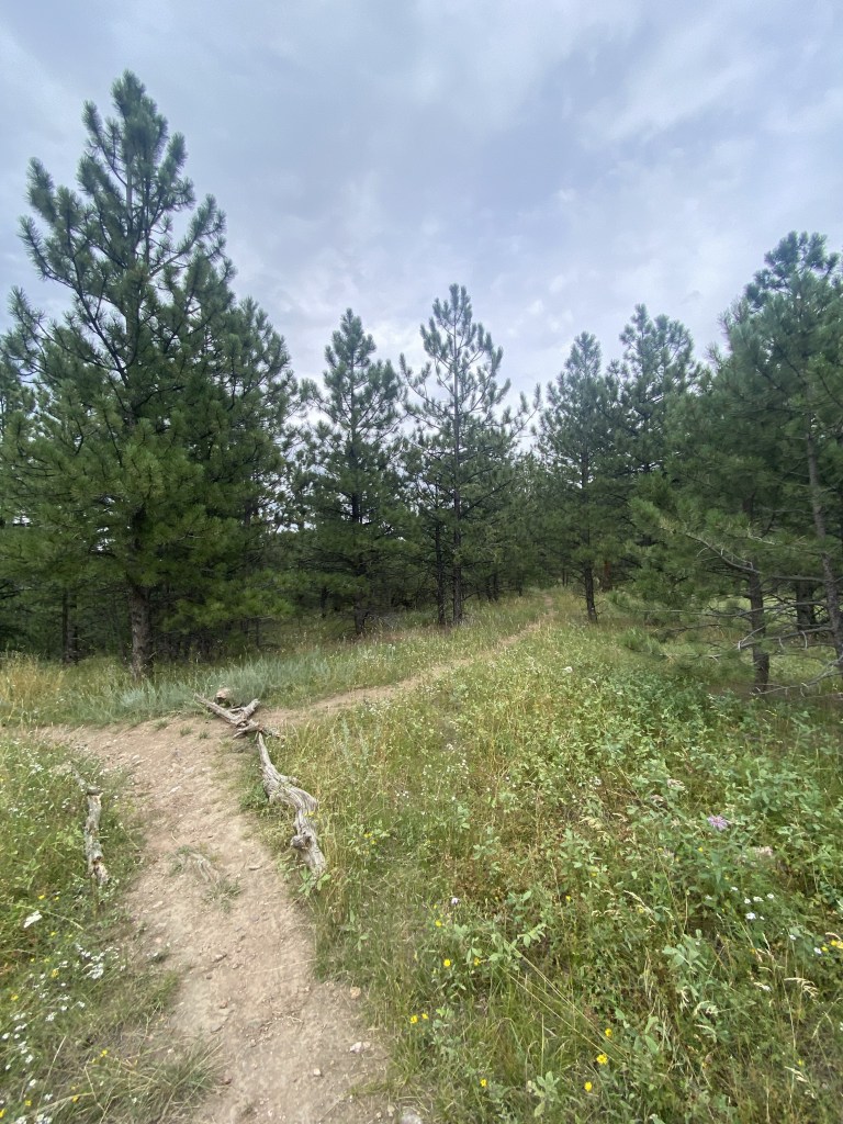
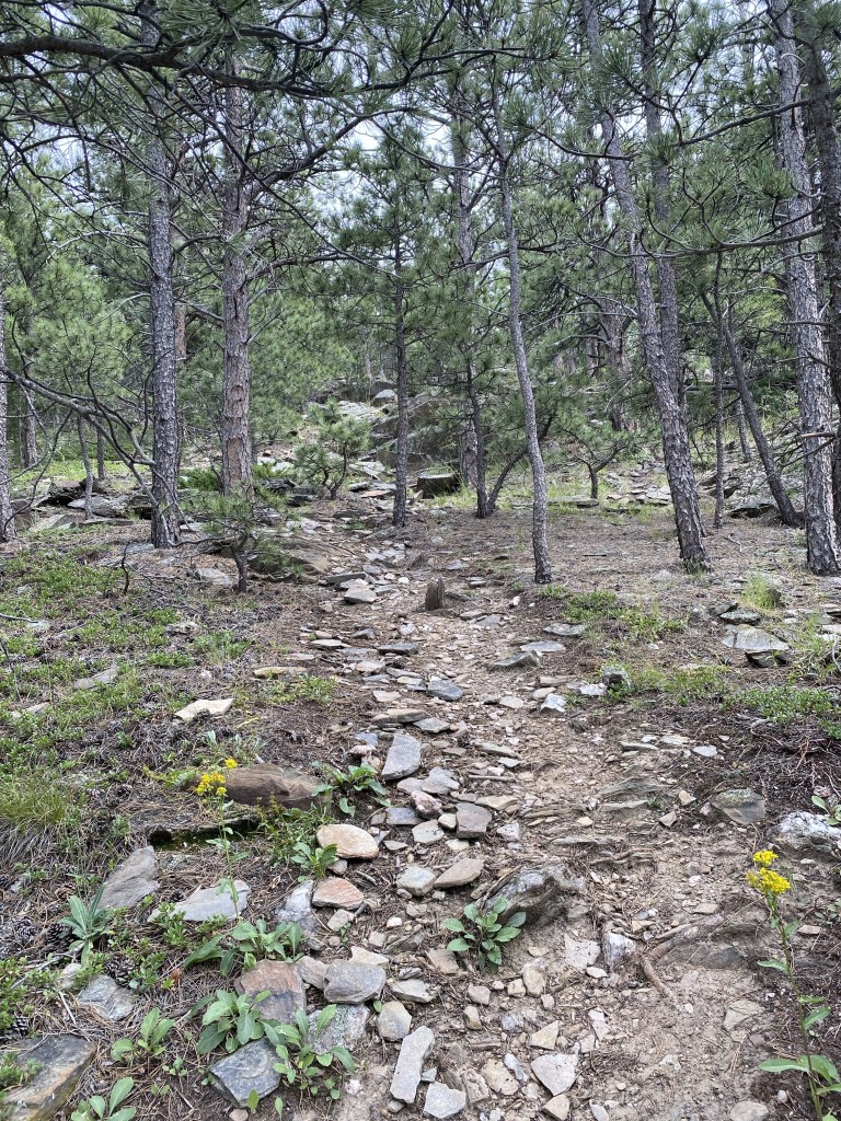
The Summit Trail begins to climb quickly after this fork with a calmer “Nature Trail.”
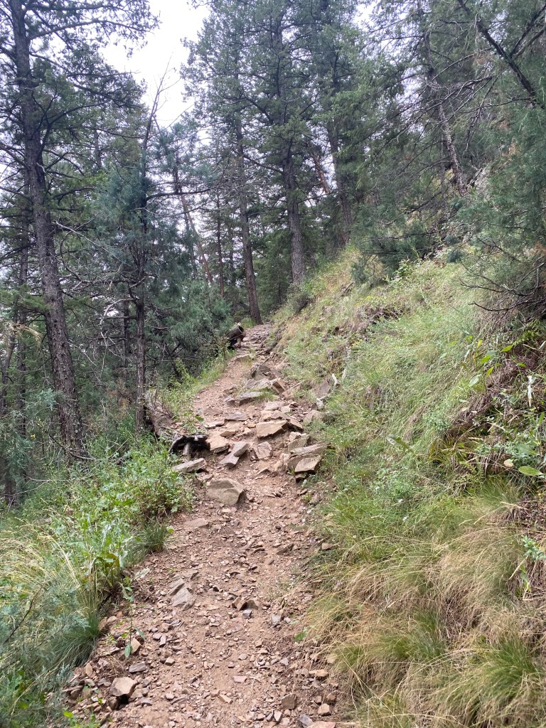
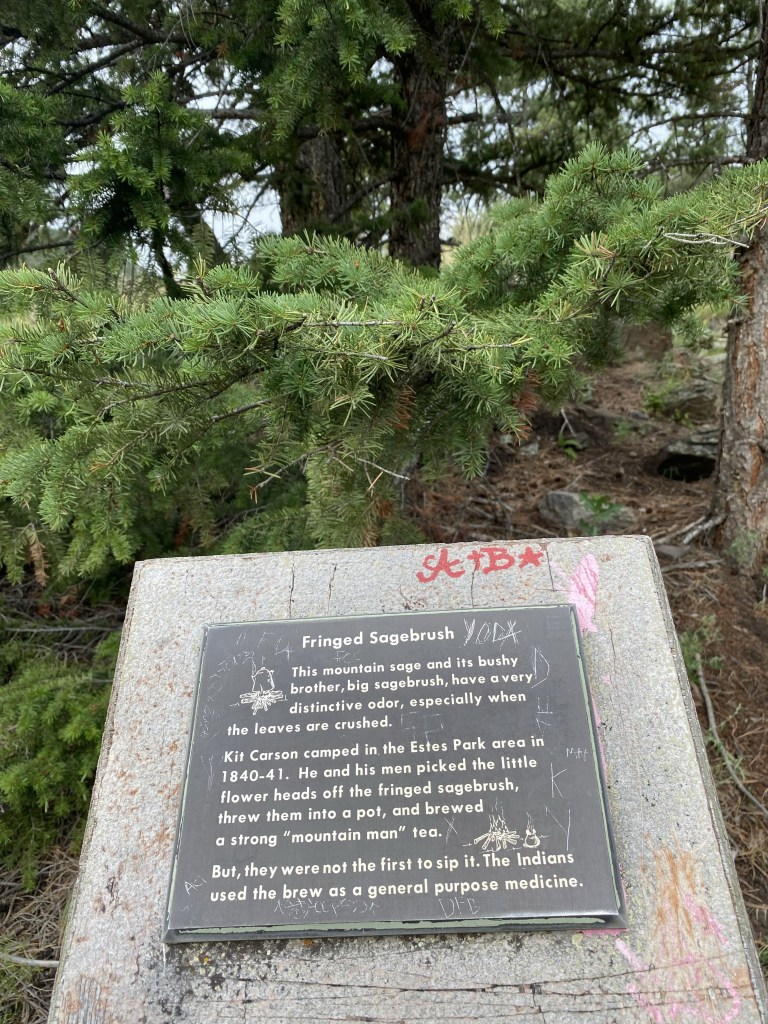
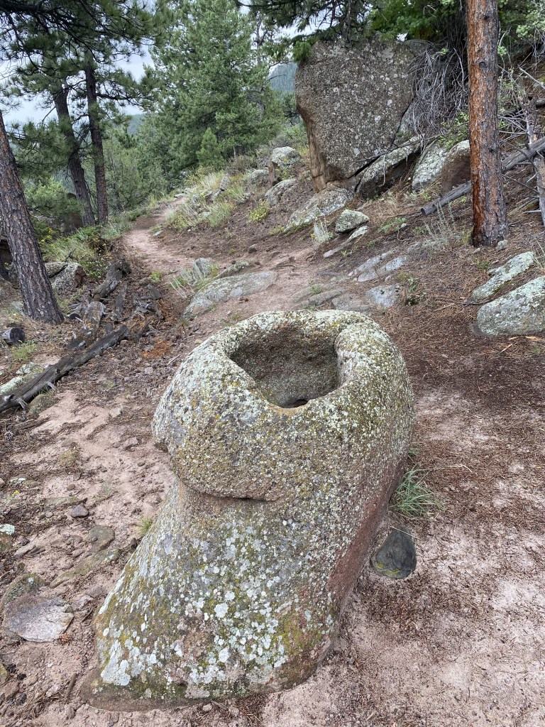
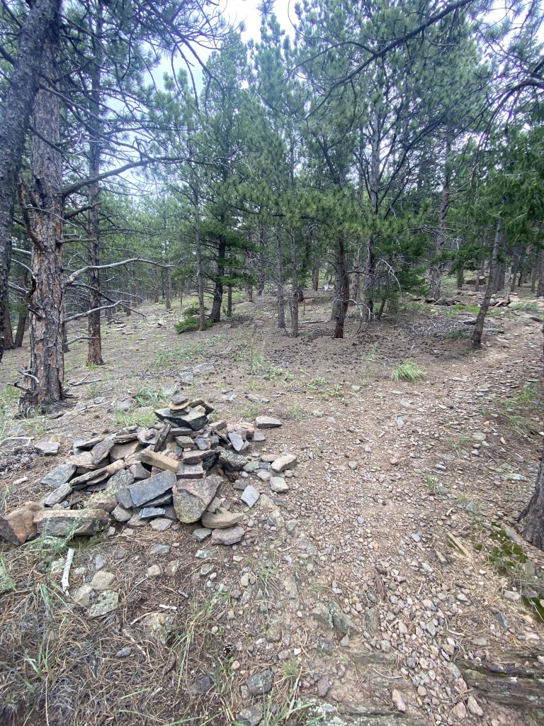
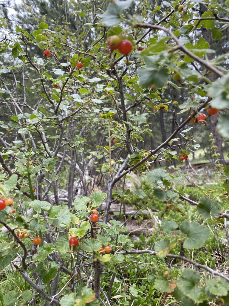
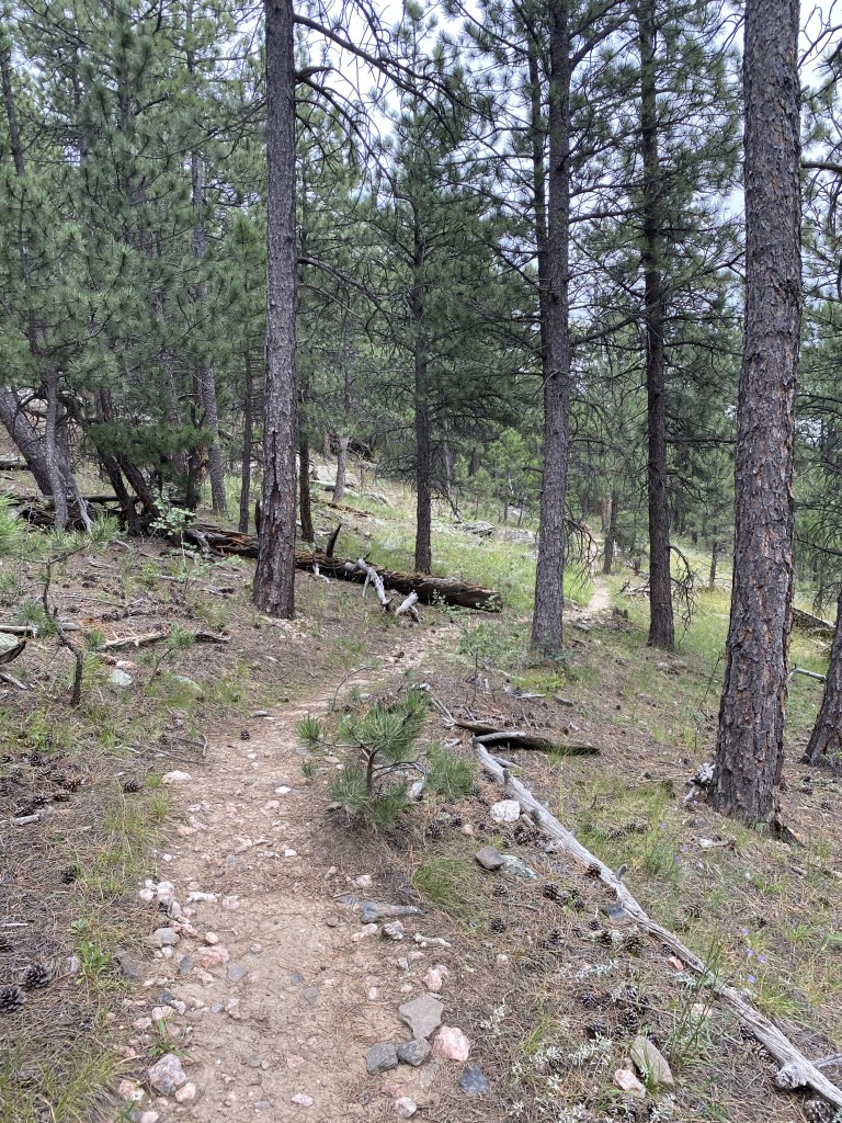
Not 100% sure what I thought was picture-worthy here, but we’ll roll with it.
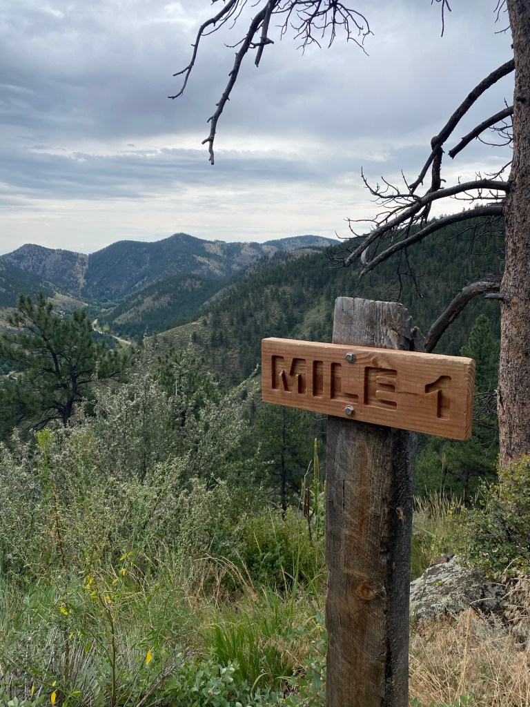
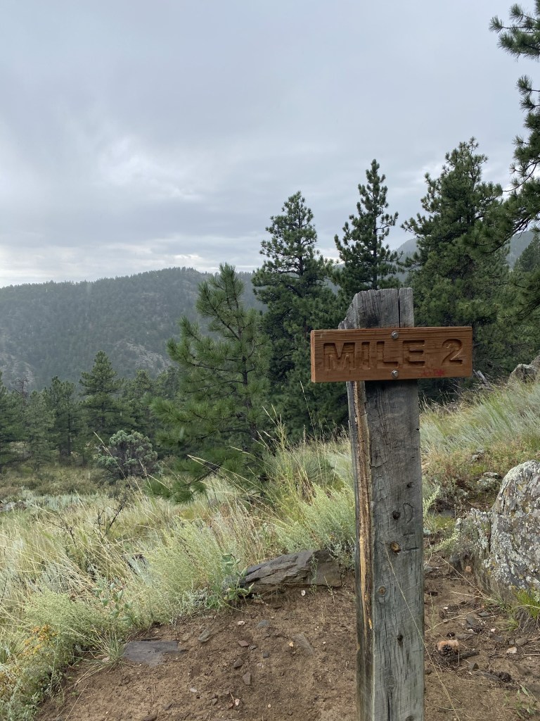
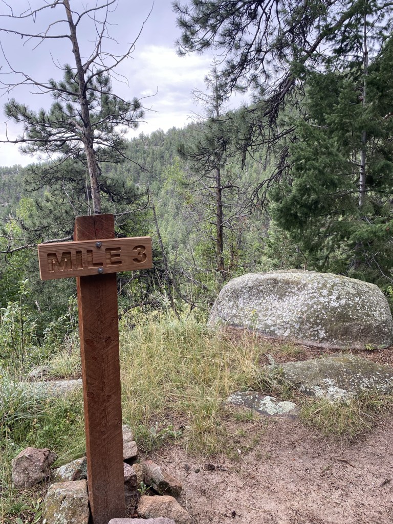
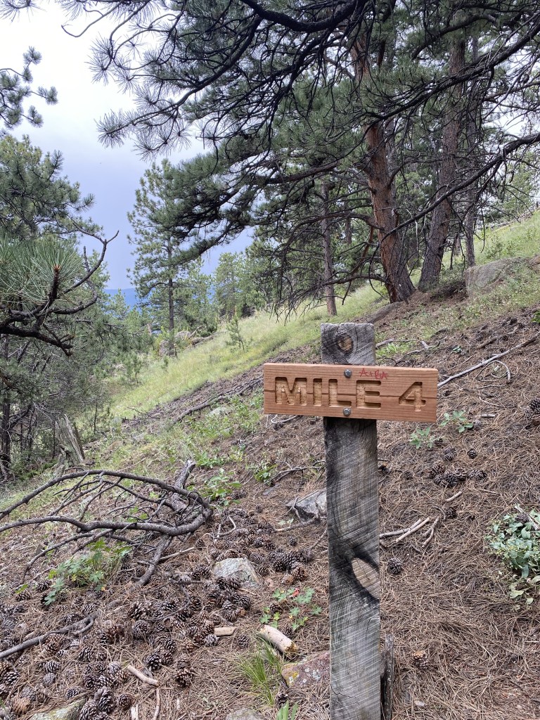
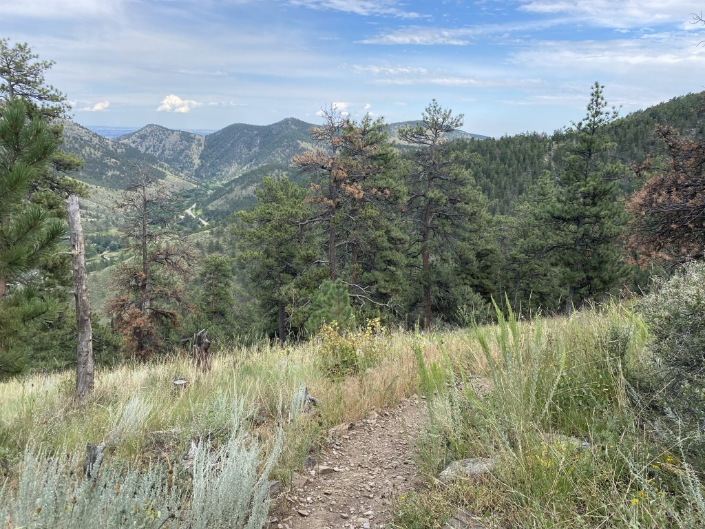
The Summit Trail to Sheep Mountain offers mile markers, which were usually pretty accurate with what my Strava app said.
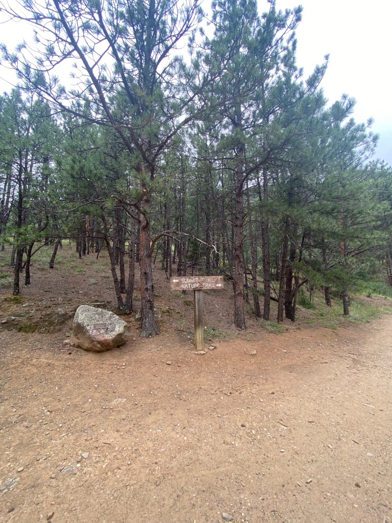
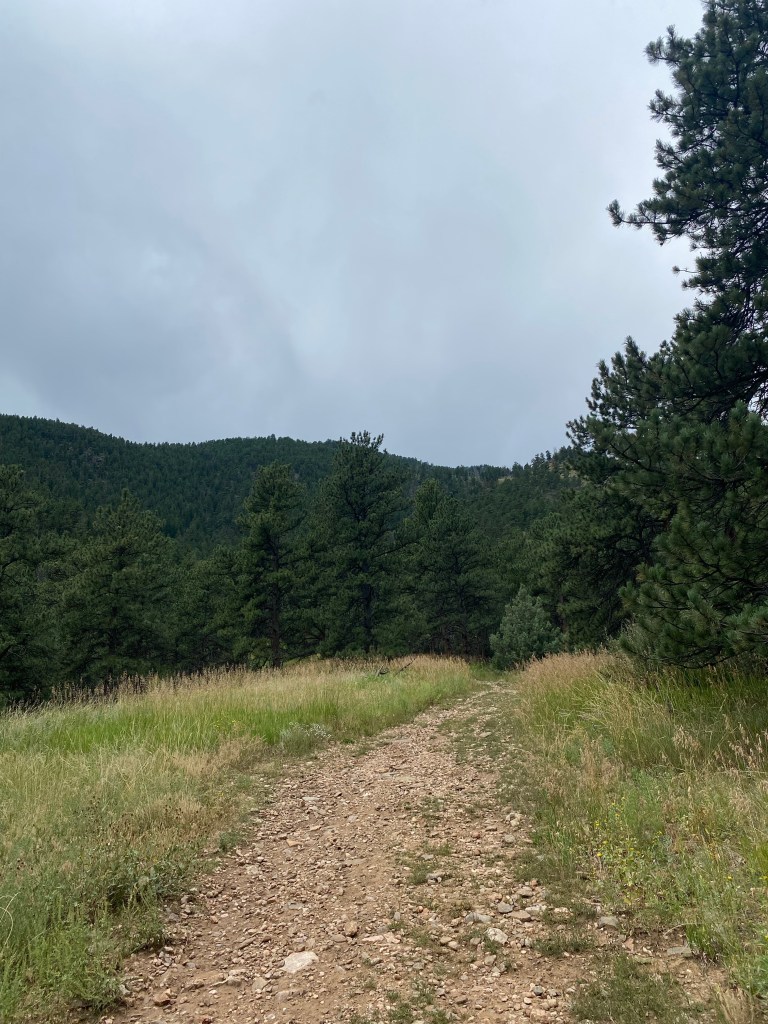
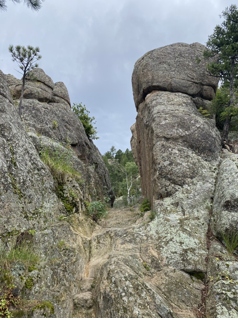
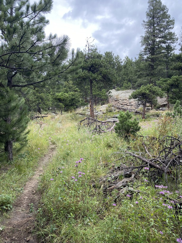
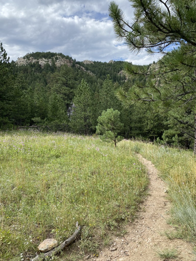
The infamous “fork” I was referring to in my introduction. Following the path and staying on the inside of the logs keeps you on the Summit Trail to Sheep Mountain, which is where I went first. Stepping over the logs to the left puts you on a clear trail, yet one with no official designation, to Stone Mountain.
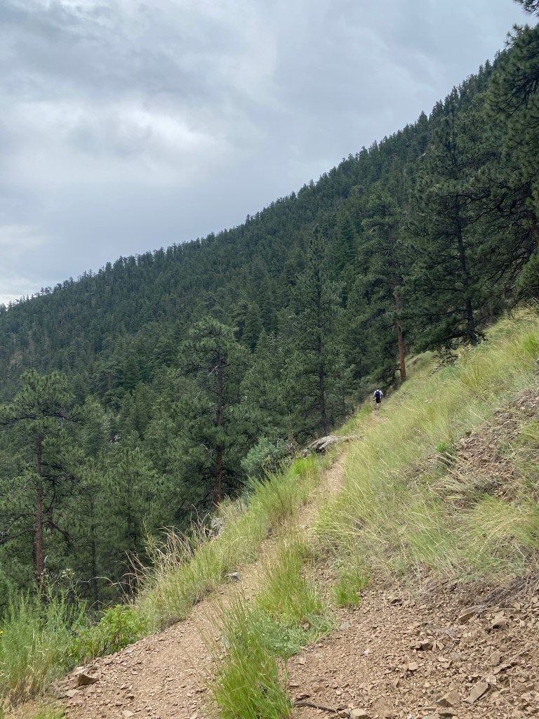
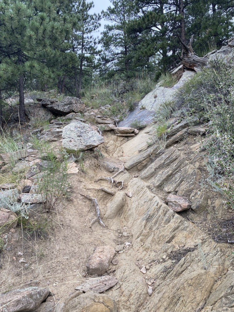
Things quickly got steep, with the elevation gain of nearly 1,000 feet from the fork to Sheep Mountain summit making this section a moderate hike in it’s own right.
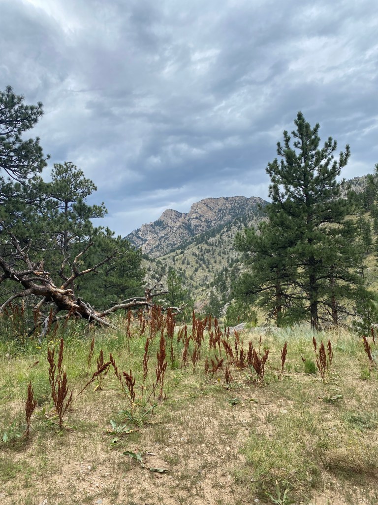
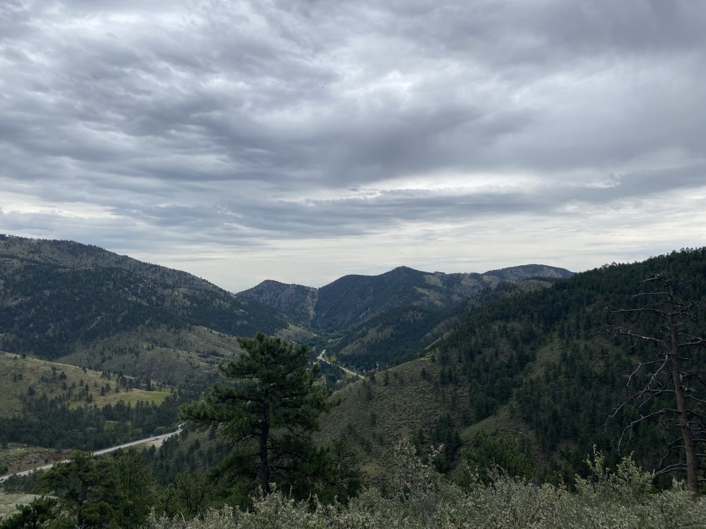
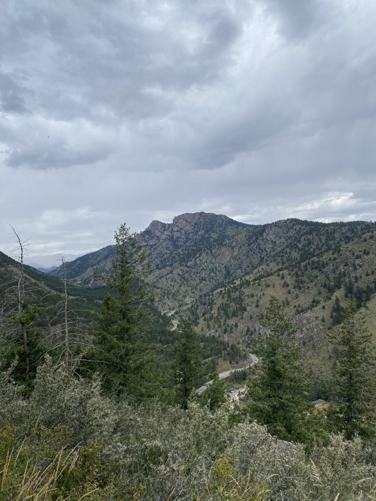
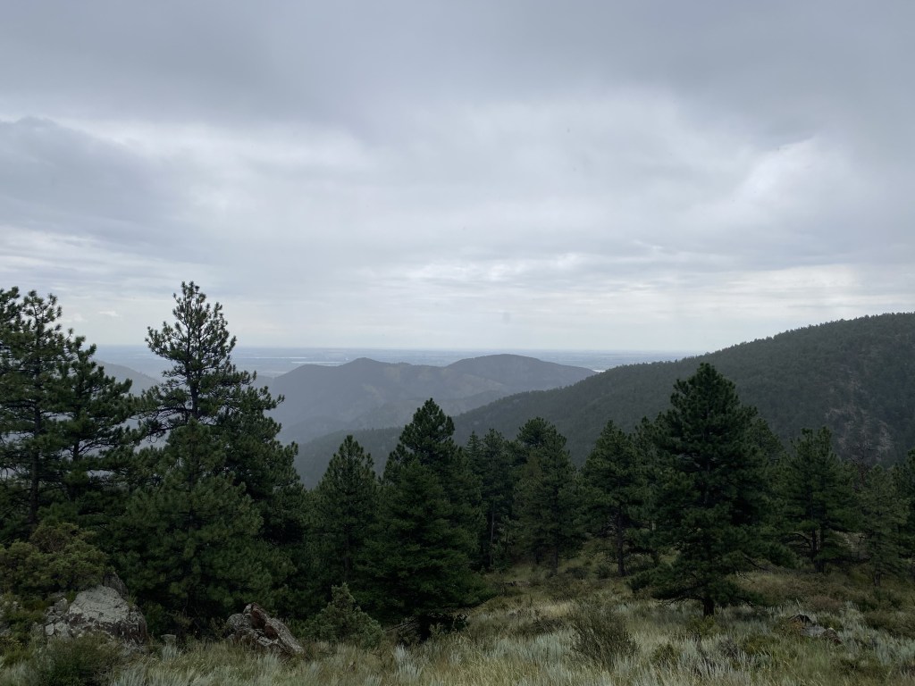
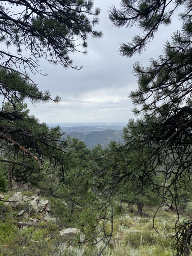
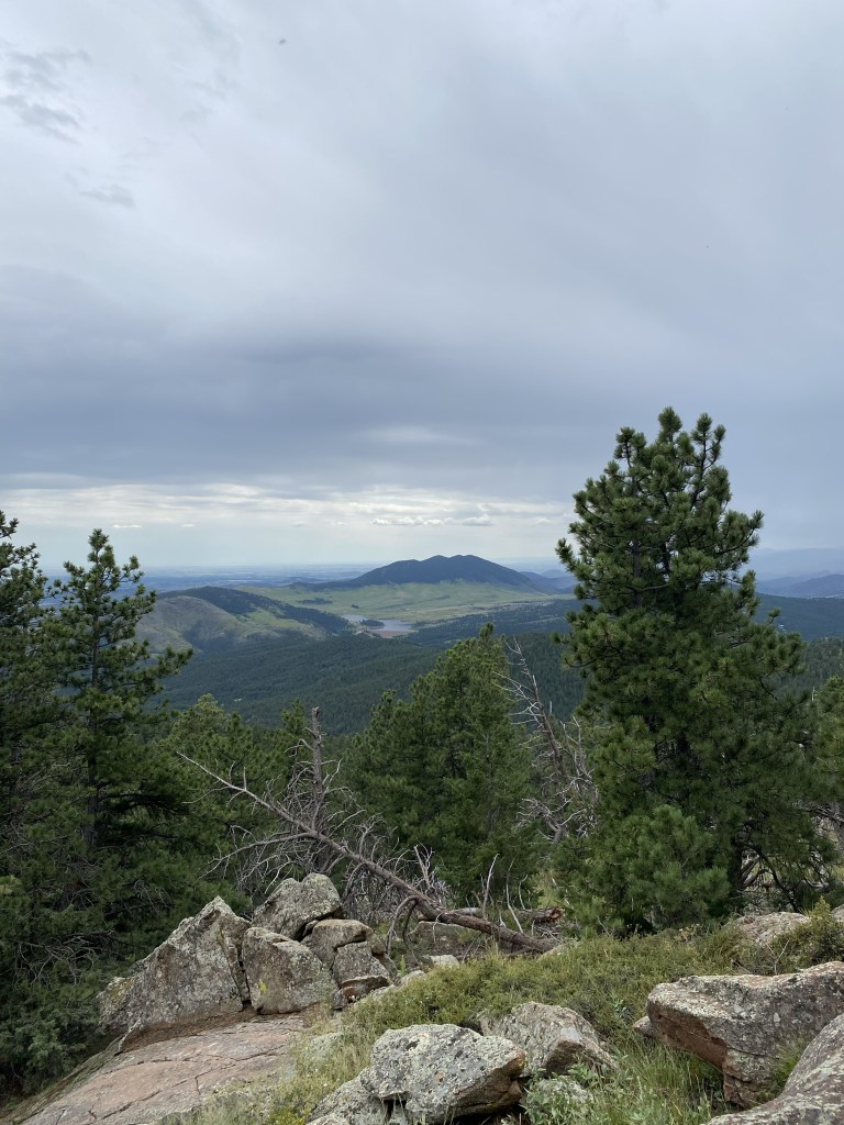
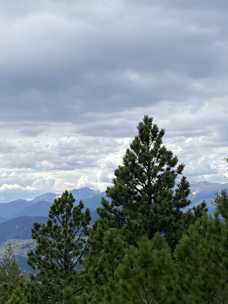
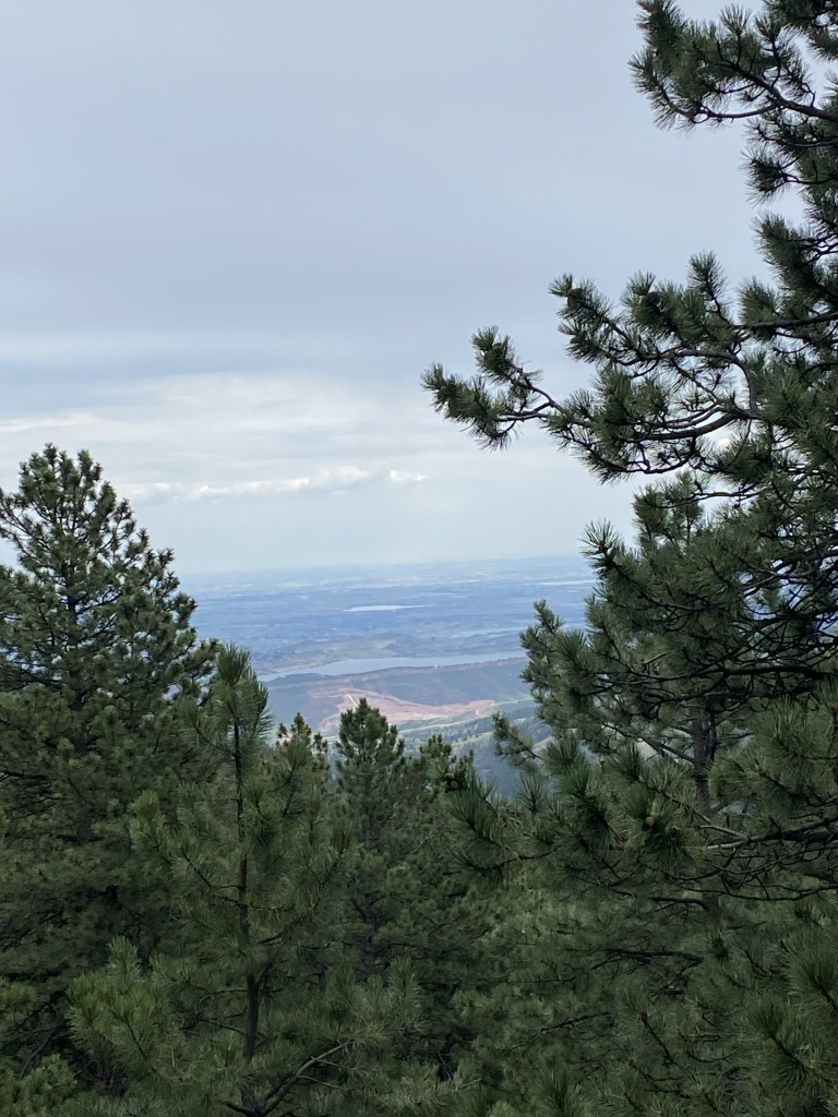
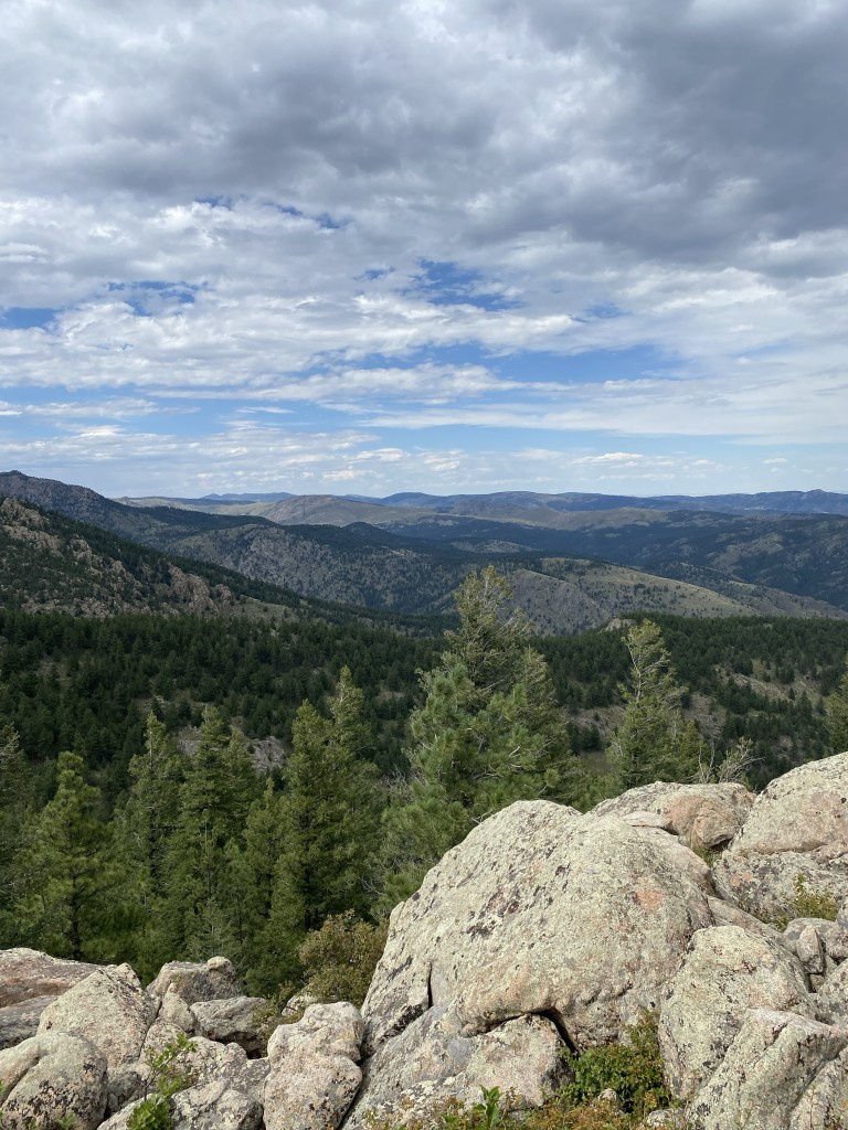
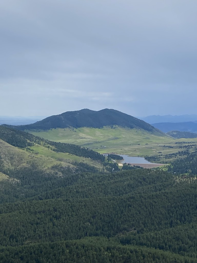
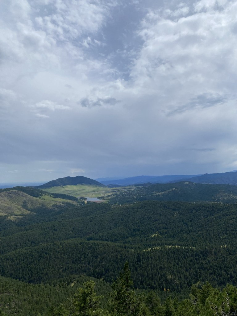
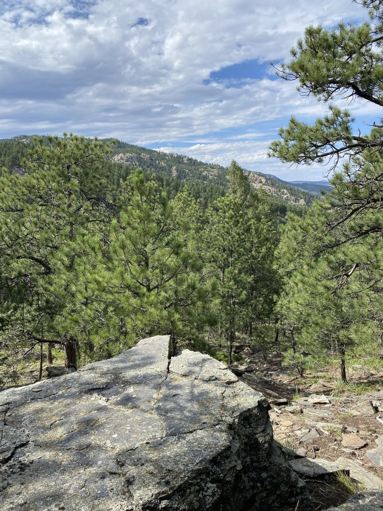
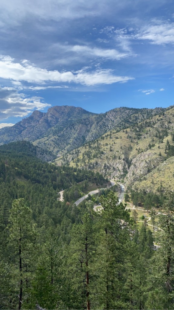
I’ll be honest: I’m not sure what I’m looking at here (I’d love to figure out which mountain(s) I’m looking towards) but this view absolutely took my breathe away.
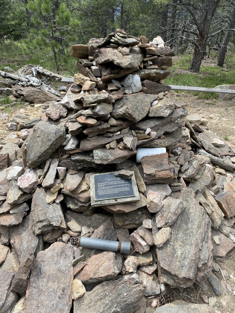
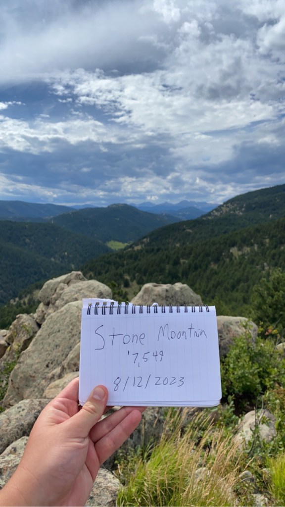
The humble summit. Many summits in Colorado are exposed, but this one was still woodsy at the top with many trees. This pile of rocks marked the ‘8,458 summit of Sheep Mountain.
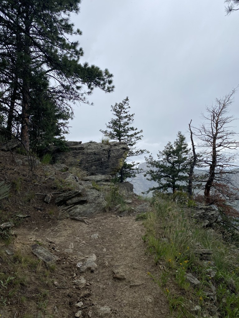
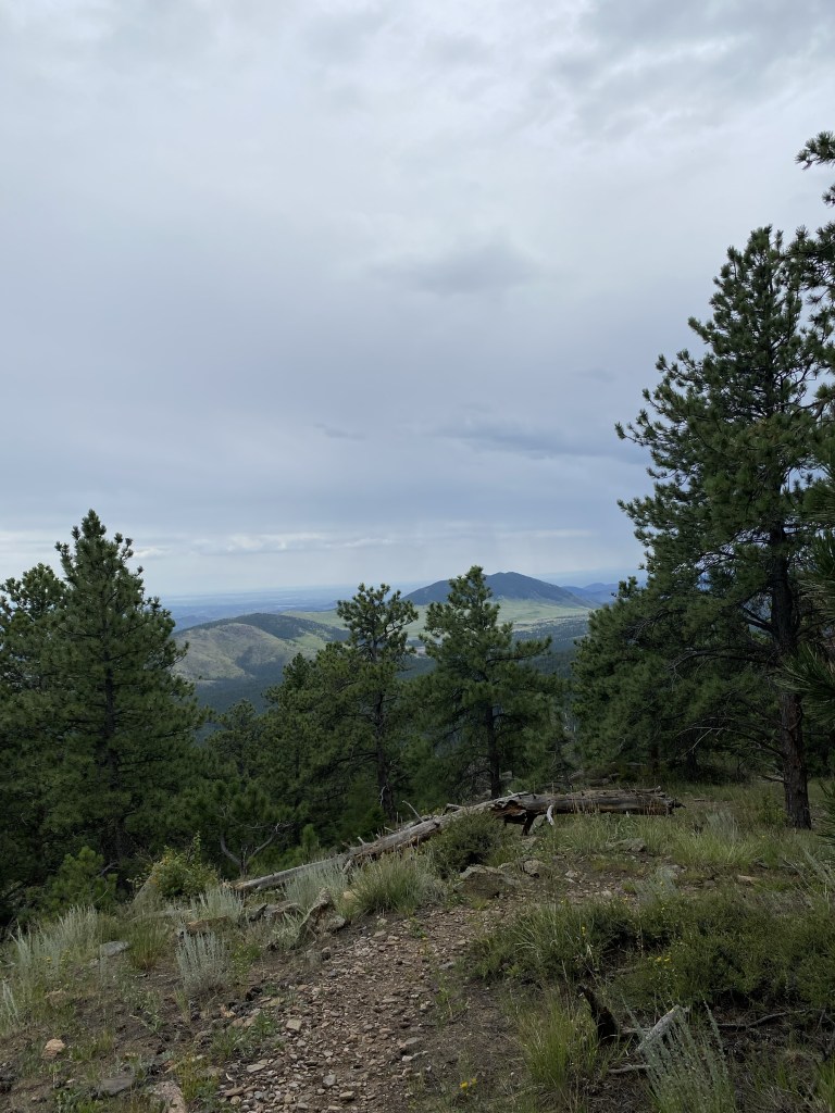
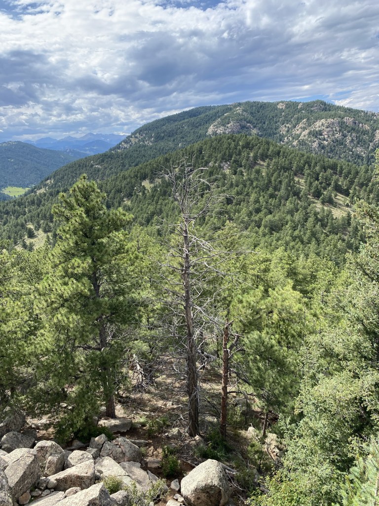
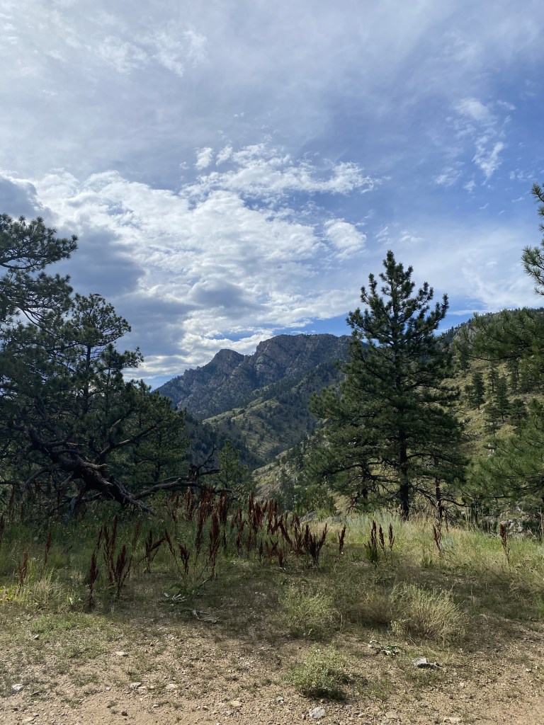
Veering away from the true summit a bit offered some more views, but even then, obstructed by trees. Summiting Sheep Mountain was a solid hike, but the views left just a bit to be desired.
After hiking down Sheep Mountain, I decided to stick with my plan to add summiting Stone Mountain to my day. If I didn’t want to, I easily could have turned back towards the parking lot. Again, while there is no “Stone Mountain this way!” sign, the trail itself is pretty apparent.
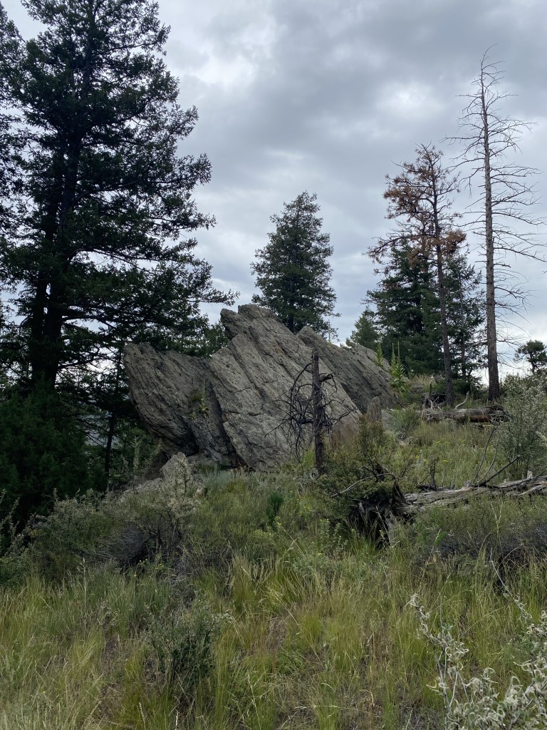
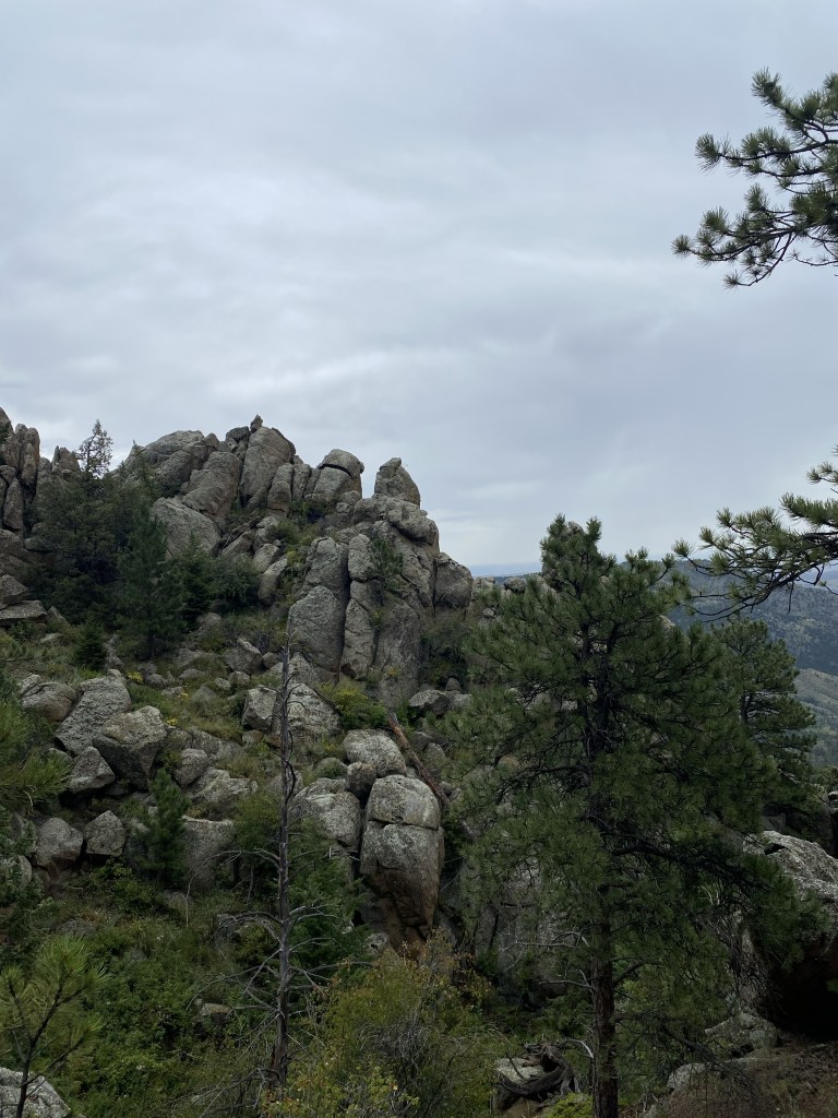
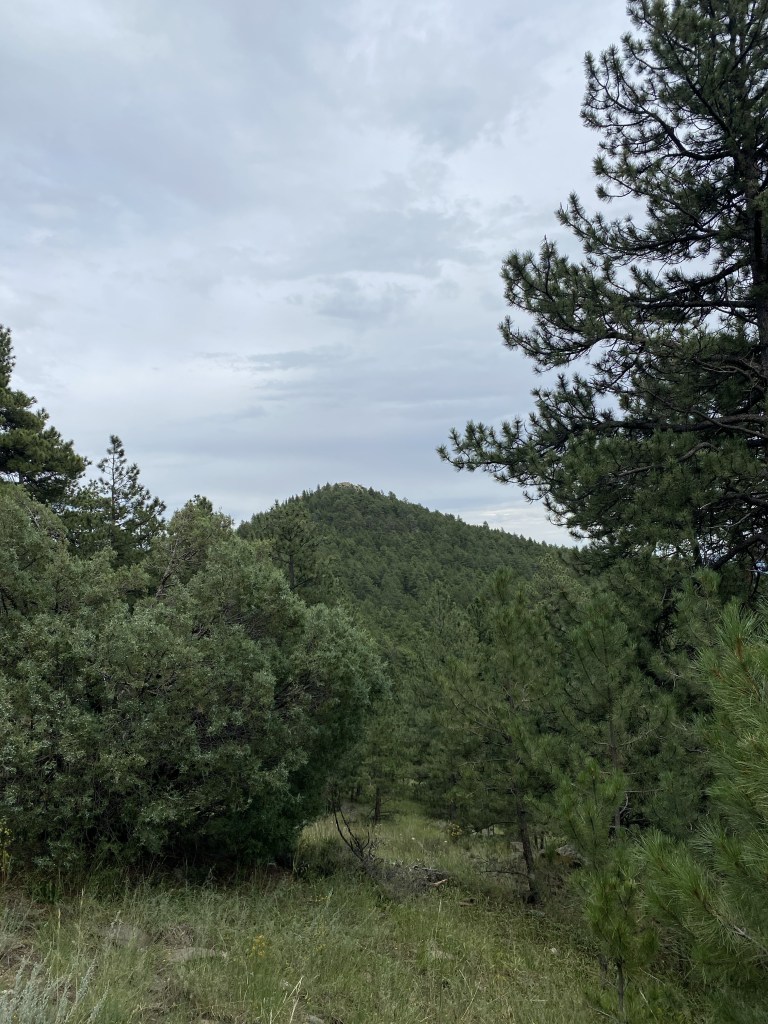
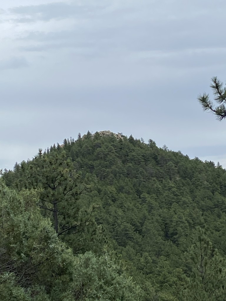
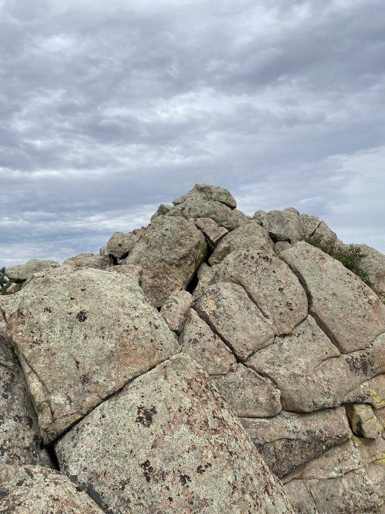
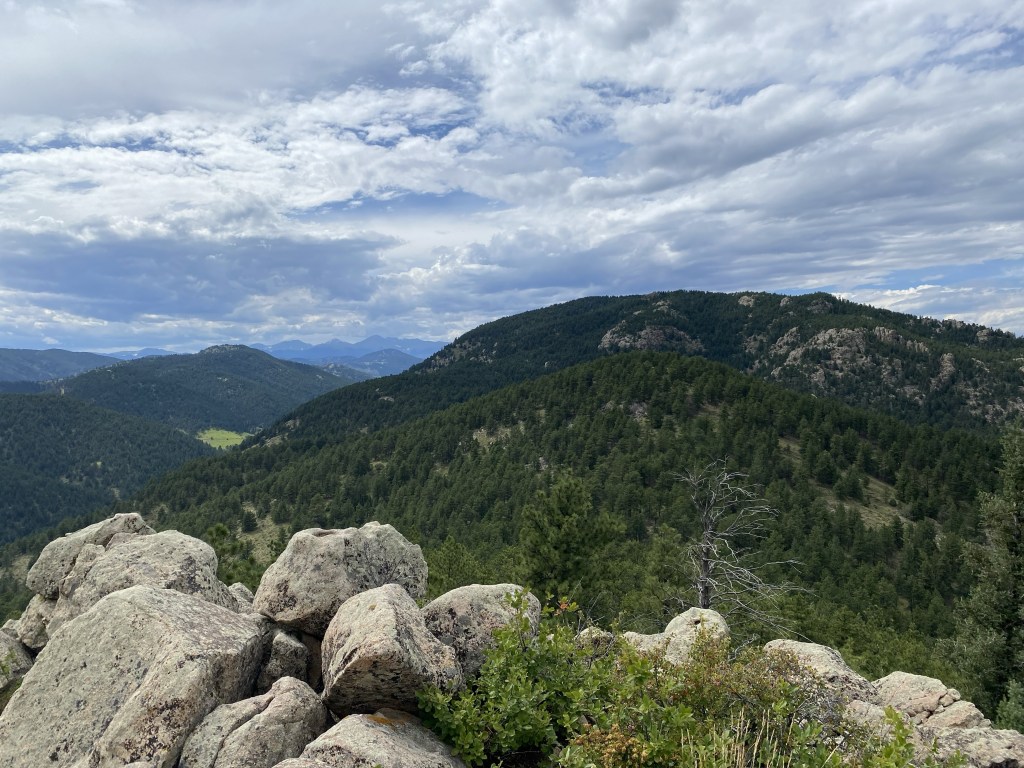
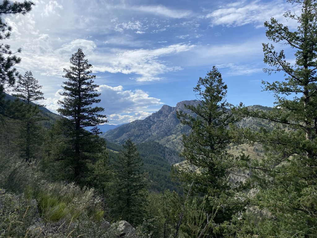
The Stone Mountain summit from a little bit away.
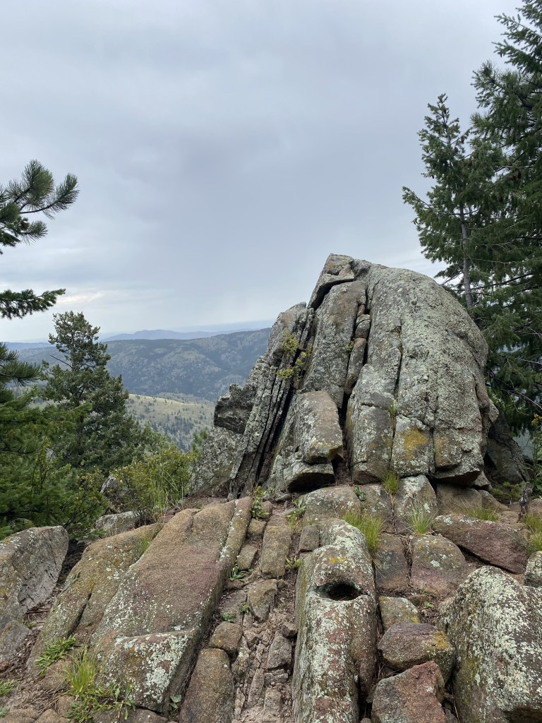
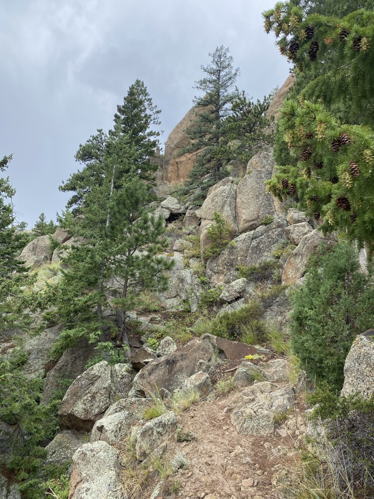
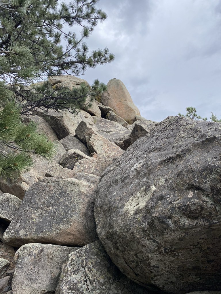
I can see why they call it Stone Mountain: with the stone-tip peak visible.
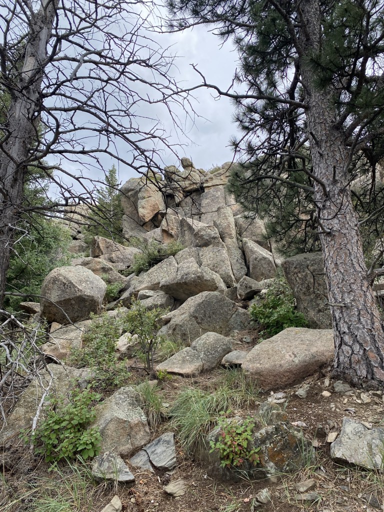
Actually summiting Stone Mountain requires just a touch of arm-and-legs, vertical rock climbing. There seemed to be a couple different approach routes, and even with little-to-no climbing experience, it wasn’t too challenging.
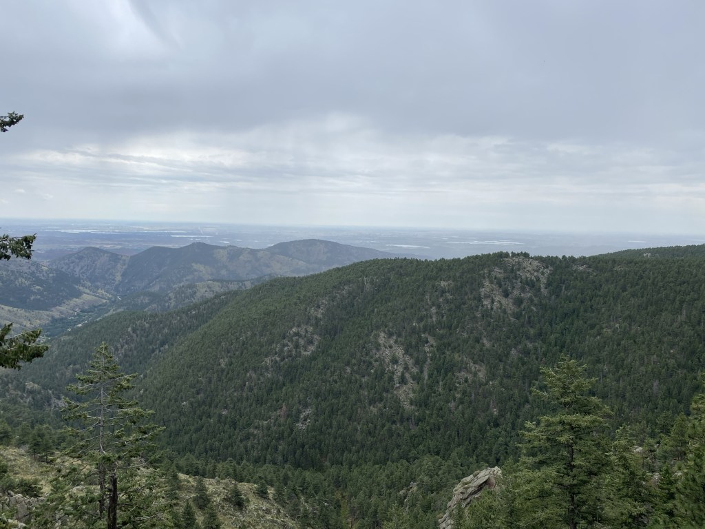
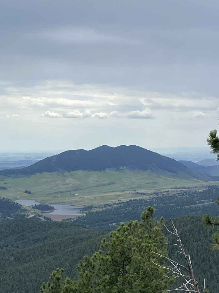
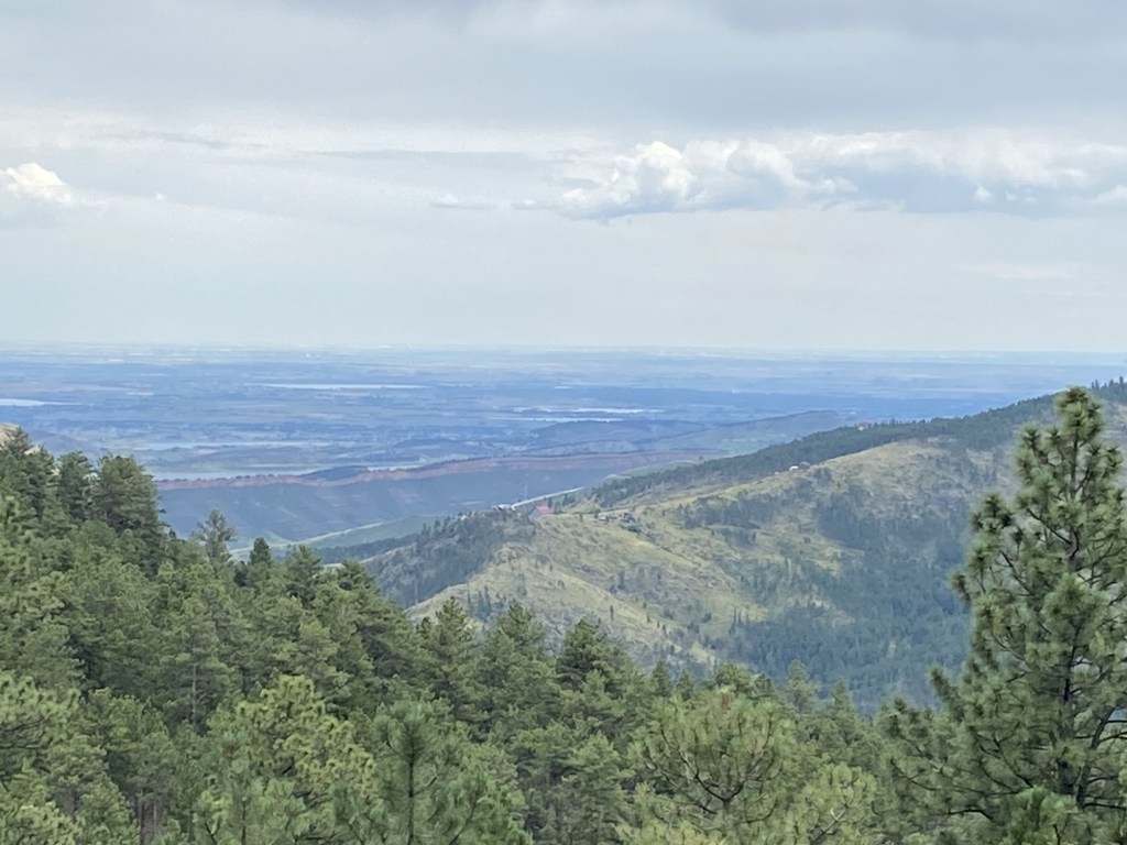
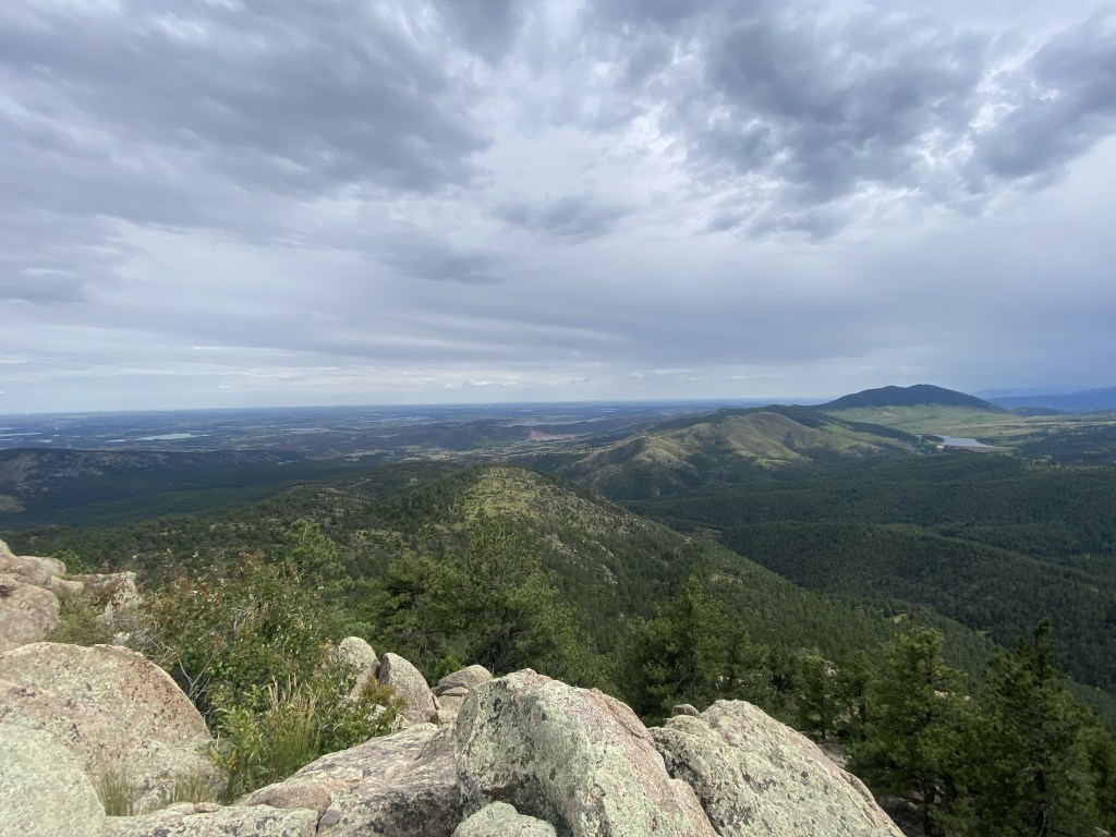
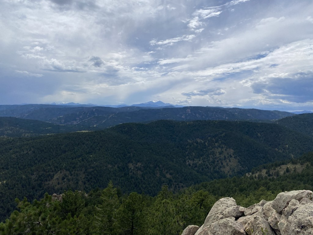
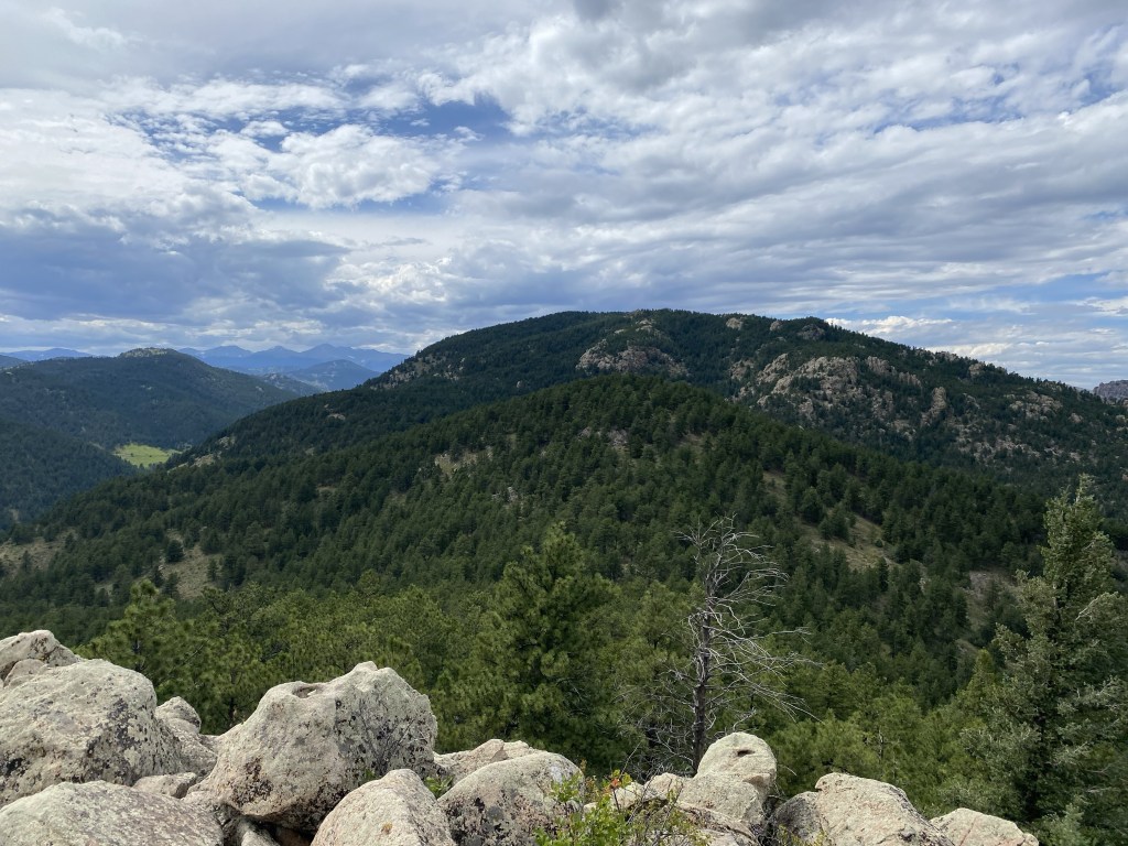
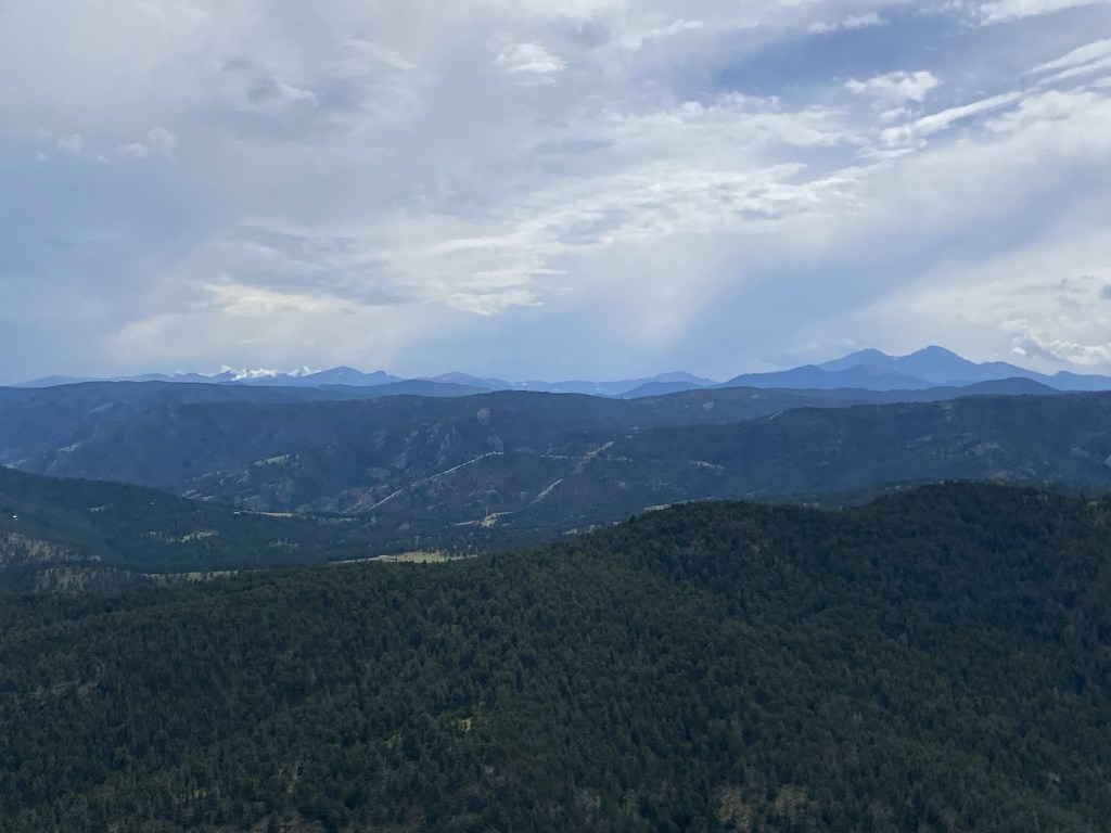
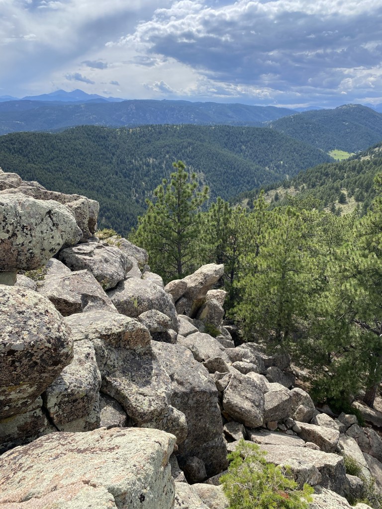
Now that’s a summit view.
And so is that.
I believe this picture is looking back at Sheep Mountain. The gently rounded-top, devoid of a spiky peak like this one, is pretty apparent.
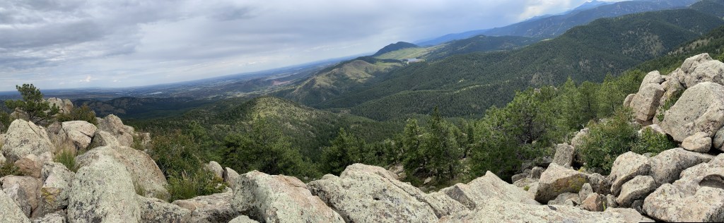
Panorama
The sweeping summit views at Stone Mountain’s peak were amazing. I was so glad I added Stone Mountain to my itinerary: it scratched an itch that Sheep Mountain has not.
Downclimbing was actually a little harder than going up, but by being a little careful, it wasn’t too bad.
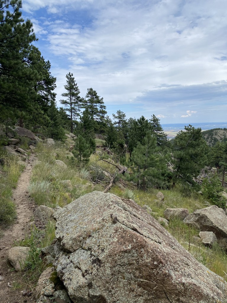
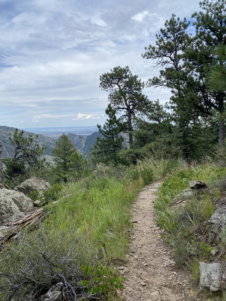
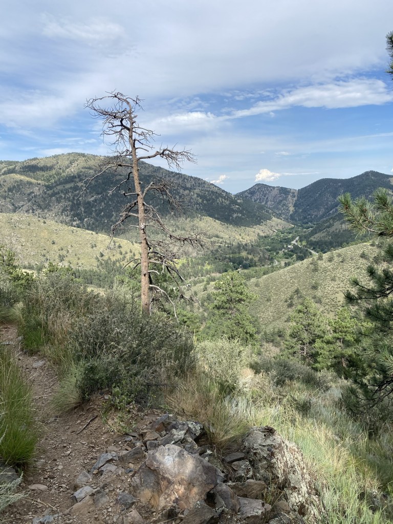
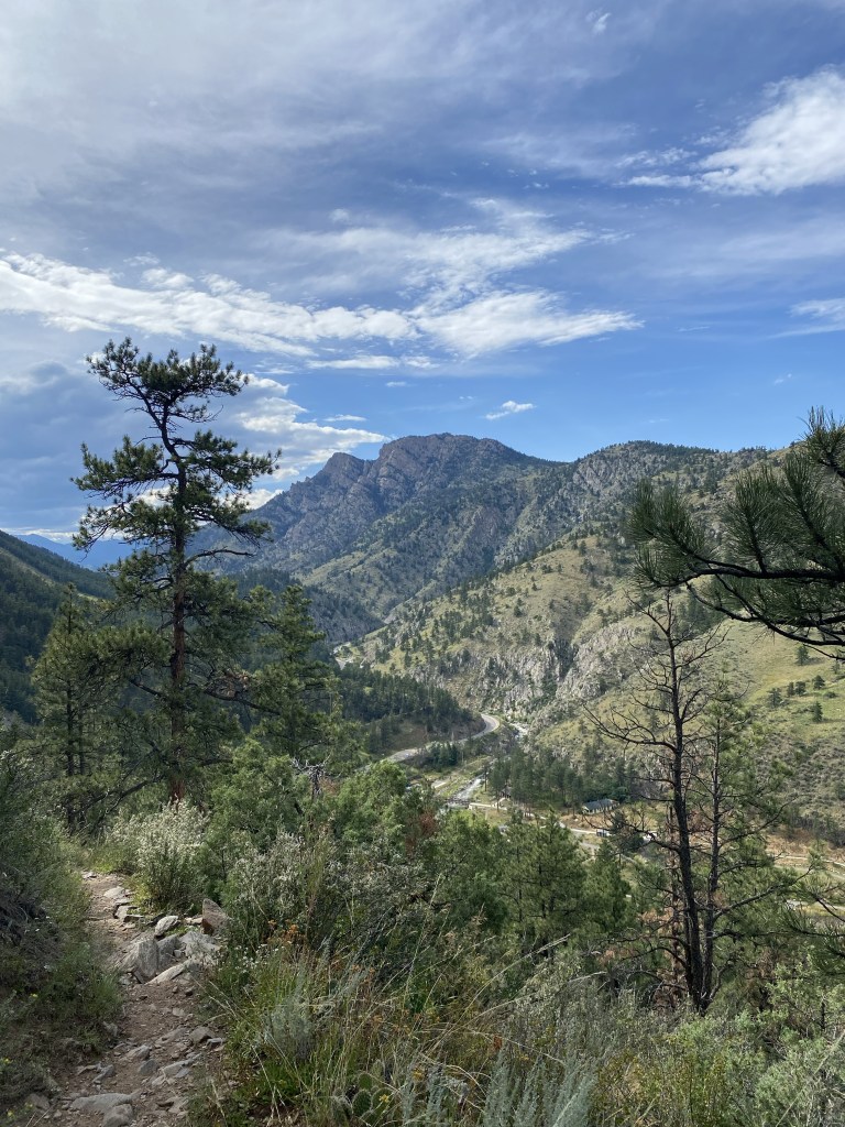
Now we’re headed back to the trailhead/parking lot. I try not to take too many pictures on the return portion of out-and-backs, but as with all my rules, I’m prone to breaking it.
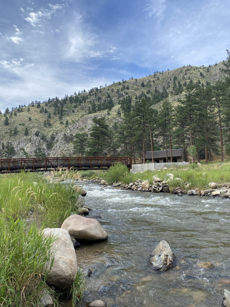
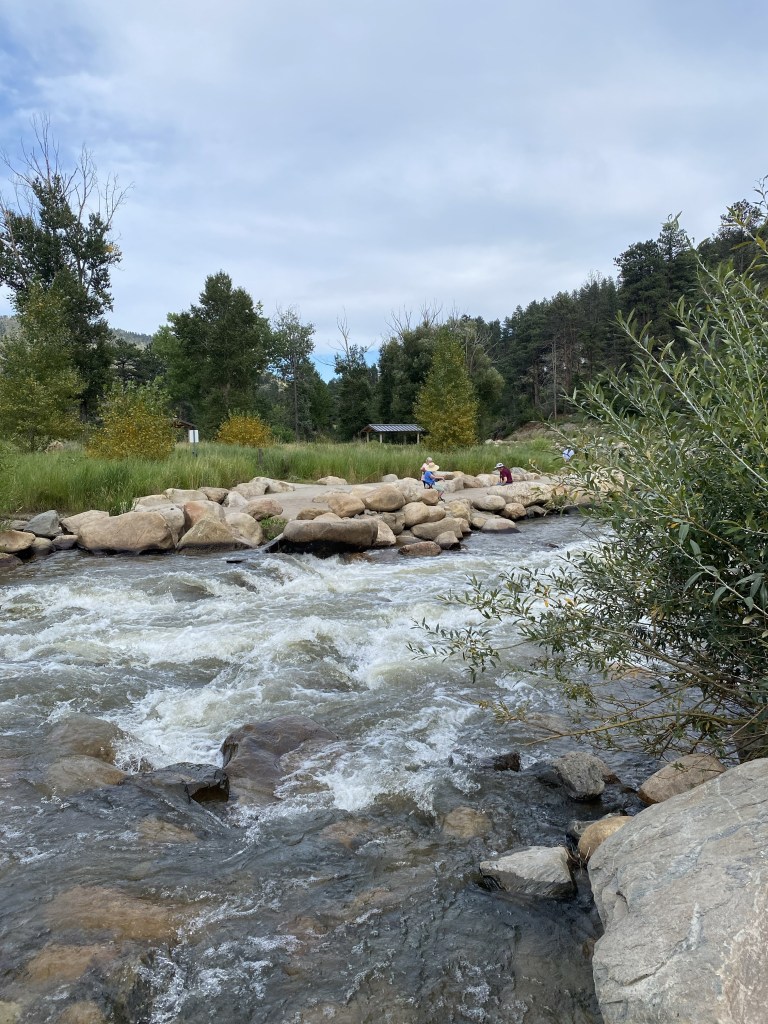
Once getting back to the parking area, I crossed the street to a park area with the flowing Big Thompson River to cool off and wash off.
The elderly group across the way were acting like they’ve never seen someone step fully in to the river in Colorado.
The water was crisp, cold, and an excellent way to end an 11.38 mile hike on an August day.
 Sakmann News, Entertainment and Sports